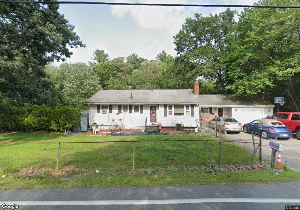
166 Lowe St Tewksbury, MA 01876
Estimated Value: $690,168 - $800,000
3
Beds
1
Bath
1,310
Sq Ft
$563/Sq Ft
Est. Value
About This Home
This home is located at 166 Lowe St, Tewksbury, MA 01876 and is currently estimated at $738,042, approximately $563 per square foot. 166 Lowe St is a home located in Middlesex County with nearby schools including John W. Wynn Middle School, John F. Ryan Elementary School, and Tewksbury Memorial High School.
Ownership History
Date
Name
Owned For
Owner Type
Purchase Details
Closed on
Aug 1, 2019
Sold by
Cerullo Arthur A and Cerullo Margaret D
Bought by
Cerullo 2019 T
Current Estimated Value
Purchase Details
Closed on
Oct 25, 1977
Bought by
Cerullo Arthur A and Cerullo Margaret D
Create a Home Valuation Report for This Property
The Home Valuation Report is an in-depth analysis detailing your home's value as well as a comparison with similar homes in the area
Home Values in the Area
Average Home Value in this Area
Purchase History
| Date | Buyer | Sale Price | Title Company |
|---|---|---|---|
| Cerullo 2019 T | -- | -- | |
| Cerullo Arthur A | $46,000 | -- |
Source: Public Records
Mortgage History
| Date | Status | Borrower | Loan Amount |
|---|---|---|---|
| Previous Owner | Cerullo Arthur A | $300,000 |
Source: Public Records
Tax History Compared to Growth
Tax History
| Year | Tax Paid | Tax Assessment Tax Assessment Total Assessment is a certain percentage of the fair market value that is determined by local assessors to be the total taxable value of land and additions on the property. | Land | Improvement |
|---|---|---|---|---|
| 2025 | $7,726 | $584,400 | $305,400 | $279,000 |
| 2024 | $7,397 | $552,400 | $291,000 | $261,400 |
| 2023 | $7,281 | $516,400 | $264,400 | $252,000 |
| 2022 | $7,047 | $463,600 | $230,000 | $233,600 |
| 2021 | $6,708 | $426,700 | $209,100 | $217,600 |
| 2020 | $6,465 | $404,800 | $199,100 | $205,700 |
| 2019 | $6,231 | $393,400 | $189,500 | $203,900 |
| 2018 | $5,928 | $367,500 | $189,500 | $178,000 |
| 2017 | $5,589 | $342,700 | $189,500 | $153,200 |
| 2016 | $5,389 | $329,600 | $189,500 | $140,100 |
| 2015 | $5,089 | $310,900 | $183,800 | $127,100 |
| 2014 | $4,706 | $292,100 | $183,800 | $108,300 |
Source: Public Records
Map
Nearby Homes
- 71 Apache Way Unit 71
- 109 Apache Way
- 261 Apache Way
- 906 Old Shawsheen St
- 110 Royal Crest Cir
- 127 Caddy Ct
- 93 Fairway Dr
- 1465 Shawsheen St
- 7 Wamesit Rd
- 16 Eagle Dr
- 165 Vale St
- 640 South St
- 610 South St
- 22 Carleton Rd
- 19 Pringle St
- 51 Jills Way
- 47 Jills Way
- 6 Stonebury Way Unit 6
- 134 Patrick Rd
- 111 Patrick Rd Unit 111