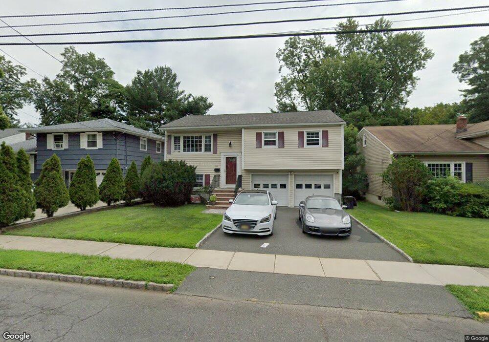
166 Maple St Roselle Park, NJ 07204
Estimated Value: $468,000 - $566,000
Studio
--
Bath
1,808
Sq Ft
$293/Sq Ft
Est. Value
About This Home
This home is located at 166 Maple St, Roselle Park, NJ 07204 and is currently estimated at $529,317, approximately $292 per square foot. 166 Maple St is a home located in Union County with nearby schools including Roselle Park High School and St. Joseph the Carpenter School.
Ownership History
Date
Name
Owned For
Owner Type
Purchase Details
Closed on
May 24, 2002
Sold by
Huxford Pamela A
Bought by
Bhamre Ravindra S and Washington Sharon D
Current Estimated Value
Home Financials for this Owner
Home Financials are based on the most recent Mortgage that was taken out on this home.
Original Mortgage
$225,900
Outstanding Balance
$94,516
Interest Rate
6.8%
Mortgage Type
Purchase Money Mortgage
Estimated Equity
$434,801
Purchase Details
Closed on
Sep 21, 2000
Sold by
Heller Michael
Bought by
Huxford Pamela A
Purchase Details
Closed on
Oct 13, 1998
Sold by
Beemer Albert L and Estate Of Frances G Whitman
Bought by
Huxford Pamela A
Home Financials for this Owner
Home Financials are based on the most recent Mortgage that was taken out on this home.
Original Mortgage
$129,200
Interest Rate
6.74%
Create a Home Valuation Report for This Property
The Home Valuation Report is an in-depth analysis detailing your home's value as well as a comparison with similar homes in the area
Home Values in the Area
Average Home Value in this Area
Purchase History
| Date | Buyer | Sale Price | Title Company |
|---|---|---|---|
| Bhamre Ravindra S | $251,000 | Chicago Title Insurance Co | |
| Huxford Pamela A | -- | -- | |
| Huxford Pamela A | $136,000 | -- |
Source: Public Records
Mortgage History
| Date | Status | Borrower | Loan Amount |
|---|---|---|---|
| Open | Bhamre Ravindra S | $225,900 | |
| Previous Owner | Huxford Pamela A | $129,200 |
Source: Public Records
Tax History
| Year | Tax Paid | Tax Assessment Tax Assessment Total Assessment is a certain percentage of the fair market value that is determined by local assessors to be the total taxable value of land and additions on the property. | Land | Improvement |
|---|---|---|---|---|
| 2025 | $11,954 | $270,400 | $100,000 | $170,400 |
| 2024 | $11,660 | $270,400 | $100,000 | $170,400 |
| 2023 | $11,660 | $270,400 | $100,000 | $170,400 |
| 2022 | $11,203 | $270,400 | $100,000 | $170,400 |
| 2021 | $11,124 | $270,400 | $100,000 | $170,400 |
| 2020 | $11,049 | $270,400 | $100,000 | $170,400 |
| 2019 | $10,908 | $270,400 | $100,000 | $170,400 |
| 2018 | $10,759 | $270,400 | $100,000 | $170,400 |
| 2017 | $10,638 | $270,400 | $100,000 | $170,400 |
| 2016 | $10,305 | $270,400 | $100,000 | $170,400 |
| 2015 | $10,177 | $74,900 | $28,000 | $46,900 |
| 2014 | $9,667 | $74,900 | $28,000 | $46,900 |
Source: Public Records
Map
Nearby Homes
- 128 E Roselle Ave
- 52 E Sumner Ave
- 201 E Lincoln Ave
- 731 Woodland Ave
- 302 E Lincoln Ave
- 341 Forest Dr
- 341 Trotting Rd
- 38 W Colfax Ave
- 164 E Clay Ave
- 399 Martin Rd
- 393 Huntington Rd
- 362 E Clay Ave
- 61 W Colfax Ave
- 401 Woodland Ave
- 255 Tucker Ave Unit 124
- 308 Sherman Ave
- 825 Elm St
- 346 Tucker Ave
- 270 Clermont Terrace
- 318 Delaware Ave
Your Personal Tour Guide
Ask me questions while you tour the home.