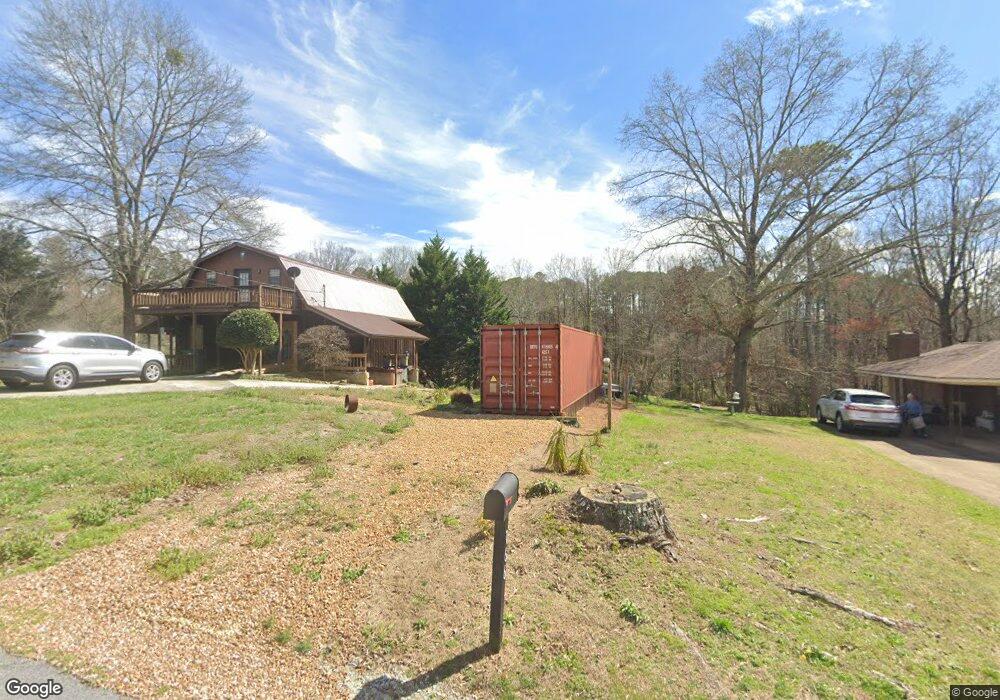
166 Mohawk Dr Tallapoosa, GA 30176
Estimated Value: $216,000 - $260,000
4
Beds
2
Baths
1,769
Sq Ft
$137/Sq Ft
Est. Value
About This Home
This home is located at 166 Mohawk Dr, Tallapoosa, GA 30176 and is currently estimated at $242,727, approximately $137 per square foot. 166 Mohawk Dr is a home located in Haralson County with nearby schools including Haralson County High School.
Ownership History
Date
Name
Owned For
Owner Type
Purchase Details
Closed on
Sep 22, 2000
Sold by
Davis Donald Craig
Bought by
Davis Jonathan Bradley
Current Estimated Value
Purchase Details
Closed on
Nov 14, 1998
Sold by
Davis Donald Craig
Bought by
Davis Donald Craig
Purchase Details
Closed on
Sep 6, 1990
Sold by
Davis Donald Craig
Bought by
Davis Donald Craig
Purchase Details
Closed on
Jun 8, 1984
Sold by
Mccormick
Bought by
Davis Donald Craig
Create a Home Valuation Report for This Property
The Home Valuation Report is an in-depth analysis detailing your home's value as well as a comparison with similar homes in the area
Home Values in the Area
Average Home Value in this Area
Purchase History
| Date | Buyer | Sale Price | Title Company |
|---|---|---|---|
| Davis Jonathan Bradley | -- | -- | |
| Davis Donald Craig | -- | -- | |
| Davis Donald Craig | -- | -- | |
| Davis Donald Craig | -- | -- |
Source: Public Records
Tax History Compared to Growth
Tax History
| Year | Tax Paid | Tax Assessment Tax Assessment Total Assessment is a certain percentage of the fair market value that is determined by local assessors to be the total taxable value of land and additions on the property. | Land | Improvement |
|---|---|---|---|---|
| 2024 | $1,619 | $51,404 | $5,088 | $46,316 |
| 2023 | $1,832 | $55,980 | $4,800 | $51,180 |
| 2022 | $1,150 | $44,534 | $4,800 | $39,734 |
| 2021 | $1,137 | $42,185 | $4,800 | $37,385 |
| 2020 | $1,182 | $43,711 | $4,800 | $38,911 |
| 2019 | $1,207 | $43,004 | $4,800 | $38,204 |
| 2018 | $1,221 | $43,004 | $4,800 | $38,204 |
| 2017 | $1,197 | $38,444 | $4,800 | $33,644 |
| 2016 | $1,146 | $39,342 | $4,800 | $34,542 |
| 2015 | $1,127 | $38,480 | $4,800 | $33,680 |
| 2014 | $1,261 | $41,798 | $7,600 | $34,198 |
Source: Public Records
Map
Nearby Homes
- 871 Cherokee Dr
- 0 Cherokee Dr Unit 148037
- 0 Creek Dr Unit 148038
- 711 Kay St
- 174 Faye St
- --- Steadman #32 Rd
- 0 Steadman Rd Unit 10608314
- 194 Faye St
- 35 James St
- 0 N Ridge Dr Unit 7657923
- 0 N Ridge Dr Unit 10615294
- 622 Cedartown Ave
- 154 Bethany St
- 77 McDonald Rd
- --- Steadman Rd Unit 32
- 171 James St
- 324 Bethany St
- 28 McDonald Ridge
- 164 Berlin St
- 135 Oakland Ct
- 0 Mohawk Dr Unit 7470455
- 0 Mohawk Dr Unit 9026491
- 0 Mohawk Dr Unit 7119903
- 0 Mohawk Dr Unit 7288466
- 184 Mohawk Dr
- 171 Creek Dr
- 200 Mohawk Dr
- 156 Mohawk Dr
- 155 Mohawk Dr
- 157 Creek Dr
- 143 Creek Dr
- 218 Mohawk Dr Unit 7.67AC
- 218 Mohawk Dr
- 233 Ray St
- 884 Cherokee Dr
- 221 Ray St
- 858 Cherokee Dr
- 844 Cherokee Dr
- 832 Cherokee Dr
- 761 Kay St