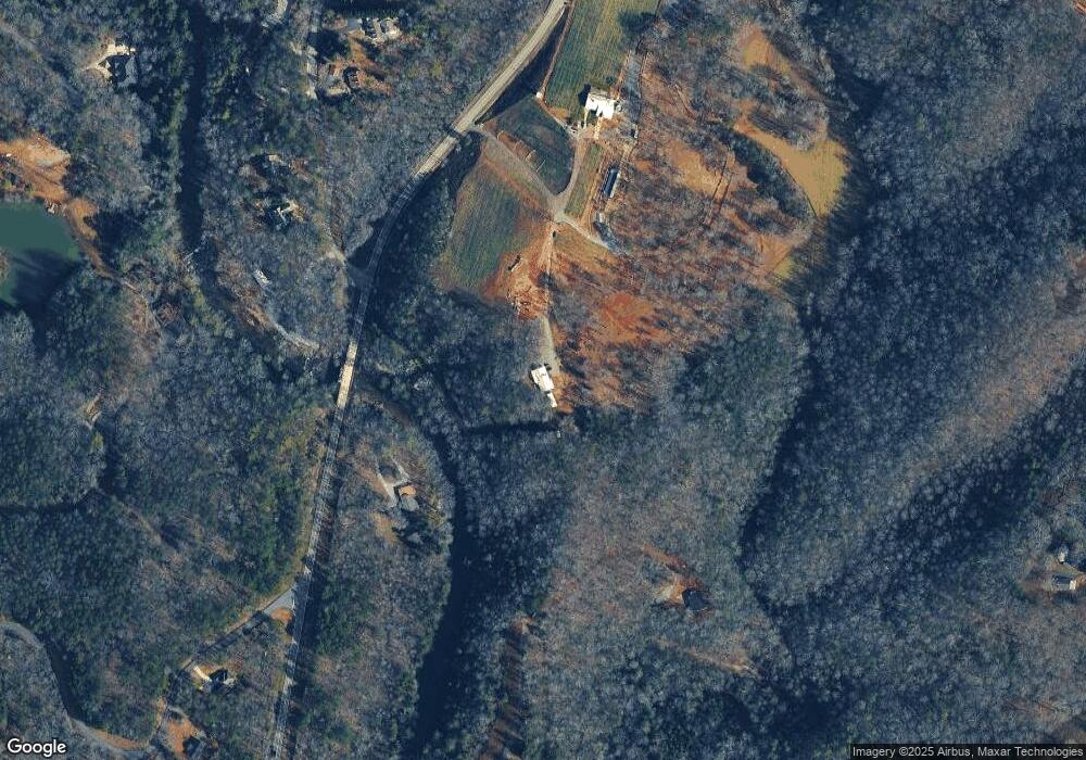
166 Mount Everest Ln Dahlonega, GA 30533
Estimated Value: $364,664 - $424,000
--
Bed
2
Baths
2,044
Sq Ft
$191/Sq Ft
Est. Value
About This Home
This home is located at 166 Mount Everest Ln, Dahlonega, GA 30533 and is currently estimated at $389,666, approximately $190 per square foot. 166 Mount Everest Ln is a home located in Lumpkin County with nearby schools including Clay County Middle School and Lumpkin County High School.
Ownership History
Date
Name
Owned For
Owner Type
Purchase Details
Closed on
Apr 1, 2021
Sold by
Smith Nancy N
Bought by
Doghobble Farms Llc
Current Estimated Value
Purchase Details
Closed on
Jun 1, 1996
Sold by
Smith Timothy
Bought by
Smith Nancy G
Purchase Details
Closed on
May 29, 1990
Sold by
Smith Nancy G
Bought by
Smith Timothy
Purchase Details
Closed on
Sep 1, 1987
Sold by
Smith Nancy G
Bought by
Smith Nancy G
Purchase Details
Closed on
Jun 1, 1987
Bought by
Smith Nancy G
Create a Home Valuation Report for This Property
The Home Valuation Report is an in-depth analysis detailing your home's value as well as a comparison with similar homes in the area
Home Values in the Area
Average Home Value in this Area
Purchase History
| Date | Buyer | Sale Price | Title Company |
|---|---|---|---|
| Doghobble Farms Llc | $258,000 | -- | |
| Smith Nancy G | -- | -- | |
| Smith Timothy | -- | -- | |
| Smith Nancy G | -- | -- | |
| Smith Nancy G | -- | -- |
Source: Public Records
Tax History Compared to Growth
Tax History
| Year | Tax Paid | Tax Assessment Tax Assessment Total Assessment is a certain percentage of the fair market value that is determined by local assessors to be the total taxable value of land and additions on the property. | Land | Improvement |
|---|---|---|---|---|
| 2024 | $2,483 | $103,440 | $25,683 | $77,757 |
| 2023 | $2,270 | $96,490 | $24,002 | $72,488 |
| 2022 | $2,206 | $89,121 | $20,003 | $69,118 |
| 2021 | $1,933 | $77,505 | $20,003 | $57,502 |
| 2020 | $1,927 | $75,034 | $19,166 | $55,868 |
| 2019 | $1,944 | $75,034 | $19,166 | $55,868 |
| 2018 | $1,887 | $68,502 | $19,166 | $49,336 |
| 2017 | $1,906 | $67,872 | $19,166 | $48,706 |
| 2016 | $1,780 | $61,512 | $19,166 | $42,346 |
| 2015 | $1,585 | $61,512 | $19,166 | $42,346 |
| 2014 | $1,585 | $62,129 | $19,166 | $42,963 |
| 2013 | -- | $63,259 | $19,166 | $44,093 |
Source: Public Records
Map
Nearby Homes
- 1063 Grindle Bridge Rd
- 64 Highview Ln
- 16 Welch Cir
- 0 Horseshoe Bend Rd Unit 10571975
- 0 Horseshoe Bend Rd Unit 7620338
- 925 Horseshoe Bend Rd
- 349 Hester Rd
- 313 Hester Rd
- 651 Hester Rd
- 45 Chestatee River Ridge
- 0 Stancil Dyer Rd Unit 10640477
- 124 Candy Man Ln
- 134 Elkmont Dr
- 242 Hooper Rd
- 133 Elkmont Dr
- 1437 Porter Springs Rd
- 2717 Damascus Church Rd
- 372 Porter Springs Rd
- 1598 Town Creek Church Rd
- 0 Rivermist Dr
- 0 Rivermist Dr Unit 10043947
- 0 Rivermist Dr Unit 7041263
- 0 Rivermist Dr Unit 7523031
- 0 Rivermist Dr Unit 7414038
- 0 Rivermist Dr Unit 8222727
- 0 Rivermist Dr Unit B1 8365262
- 0 Rivermist Dr Unit 8398730
- 0 Rivermist Dr Unit 8521667
- 0 Rivermist Dr Unit 4078096
- 0 Rivermist Dr Unit Lot 5 8801838
- 0 Rivermist Dr Unit 6735894
- 0 Rivermist Dr Unit 3147068
- 1486 Town Creek Church Rd
- 5 Rivermist Dr
- 1800 Town Creek Church Rd
- B1 Rivermist Dr
- 71 Rivermist Dr Unit 3
- 71 Rivermist Dr
