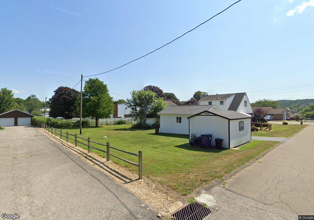
166 N Franklin St Cochranton, PA 16314
Estimated Value: $121,361 - $230,000
Studio
--
Bath
--
Sq Ft
9,453
Sq Ft Lot
About This Home
This home is located at 166 N Franklin St, Cochranton, PA 16314 and is currently estimated at $184,840. 166 N Franklin St is a home located in Crawford County with nearby schools including Cochranton Elementary School, Cochranton Junior/Senior High School, and Melody Echoes School.
Ownership History
Date
Name
Owned For
Owner Type
Purchase Details
Closed on
Sep 11, 2014
Sold by
Brock Anthony C and Brock Sabrina K
Bought by
Sliker George and Sliker Anna Liza V
Current Estimated Value
Home Financials for this Owner
Home Financials are based on the most recent Mortgage that was taken out on this home.
Original Mortgage
$82,370
Outstanding Balance
$63,060
Interest Rate
4.14%
Mortgage Type
New Conventional
Estimated Equity
$121,780
Purchase Details
Closed on
Sep 18, 2009
Sold by
Wagner Bernard R and Wagner Rowena
Bought by
Brock Anthony C and Brock Sabrina K
Create a Home Valuation Report for This Property
The Home Valuation Report is an in-depth analysis detailing your home's value as well as a comparison with similar homes in the area
Purchase History
| Date | Buyer | Sale Price | Title Company |
|---|---|---|---|
| Sliker George | $80,723 | Oig Title & Escrow Llc | |
| Brock Anthony C | -- | None Available |
Source: Public Records
Mortgage History
| Date | Status | Borrower | Loan Amount |
|---|---|---|---|
| Open | Sliker George | $82,370 |
Source: Public Records
Tax History
| Year | Tax Paid | Tax Assessment Tax Assessment Total Assessment is a certain percentage of the fair market value that is determined by local assessors to be the total taxable value of land and additions on the property. | Land | Improvement |
|---|---|---|---|---|
| 2025 | $915 | $25,350 | $1,700 | $23,650 |
| 2024 | $1,245 | $25,350 | $1,700 | $23,650 |
| 2023 | $1,245 | $25,350 | $1,700 | $23,650 |
| 2022 | $2,296 | $25,350 | $1,700 | $23,650 |
| 2021 | $2,249 | $25,350 | $1,700 | $23,650 |
| 2020 | $2,249 | $25,350 | $1,700 | $23,650 |
| 2019 | $2,249 | $25,350 | $1,700 | $23,650 |
| 2018 | $2,154 | $25,350 | $1,700 | $23,650 |
| 2017 | $2,133 | $25,350 | $1,700 | $23,650 |
| 2016 | $839 | $25,350 | $1,700 | $23,650 |
| 2015 | $839 | $25,350 | $1,700 | $23,650 |
| 2014 | -- | $25,350 | $1,700 | $23,650 |
Source: Public Records
Map
Nearby Homes
- 162 N Franklin St
- 145 E Adams St
- 119 W Pine St
- 23755 State Highway 285
- 23078 Mallard Ln
- 7167 Pettis Rd
- 6528 Mccracken Rd
- 21412 Shick Dr
- 6204-017-2 Shick Dr
- 1313 New Lebanon Rd
- 693 Beatty Run Rd
- 315 Long Rd
- 0 Deckards Run Rd and Judson Rd Unit 11536704
- 4913 Rock Creek Rd
- 5154 Ashley Dr
- 410 Chestnut Grove Rd
- 315 Sunol Rd
- 199 Anglers Rest Ln
- 24155 State Route 27
- 16939 Staff Ave
- 164 N Franklin St
- 168 N Franklin St
- 160 N Franklin St
- 165 N Franklin St
- 167 N Franklin St
- 108 3rd St
- 106 3rd St
- 158 N Franklin St
- 169 N Franklin St
- 159 N Franklin St
- 110 3rd St
- 108 Third St
- 171 N Franklin St
- 156 N Franklin St
- 157 2nd St
- 105 3rd St
- 102 2nd St
- 104 Second St
- 104 2nd St
- 170 N Franklin St
Your Personal Tour Guide
Ask me questions while you tour the home.