Estimated Value: $455,000 - $1,156,964
--
Bed
--
Bath
3,994
Sq Ft
$206/Sq Ft
Est. Value
About This Home
This home is located at 166 Point Dr, Many, LA 71449 and is currently estimated at $823,988, approximately $206 per square foot. 166 Point Dr is a home located in Sabine Parish.
Ownership History
Date
Name
Owned For
Owner Type
Purchase Details
Closed on
Apr 13, 2021
Sold by
Hebert John Landwehr and Hebert Bobby Joseph
Bought by
Perez George and Hebert Bobby Joseph
Current Estimated Value
Home Financials for this Owner
Home Financials are based on the most recent Mortgage that was taken out on this home.
Original Mortgage
$500,000
Outstanding Balance
$451,439
Interest Rate
3%
Mortgage Type
New Conventional
Estimated Equity
$372,549
Purchase Details
Closed on
May 15, 2014
Sold by
Hebert Teresa Peterson
Bought by
Hebert Joseph Jr Bobby and Hebert Joan Landwehr
Create a Home Valuation Report for This Property
The Home Valuation Report is an in-depth analysis detailing your home's value as well as a comparison with similar homes in the area
Home Values in the Area
Average Home Value in this Area
Purchase History
| Date | Buyer | Sale Price | Title Company |
|---|---|---|---|
| Perez George | $500,000 | None Listed On Document | |
| Hebert Joseph Jr Bobby | -- | None Available |
Source: Public Records
Mortgage History
| Date | Status | Borrower | Loan Amount |
|---|---|---|---|
| Open | Perez George | $500,000 |
Source: Public Records
Tax History Compared to Growth
Tax History
| Year | Tax Paid | Tax Assessment Tax Assessment Total Assessment is a certain percentage of the fair market value that is determined by local assessors to be the total taxable value of land and additions on the property. | Land | Improvement |
|---|---|---|---|---|
| 2024 | $5,414 | $88,866 | $15,713 | $73,153 |
| 2023 | $4,012 | $64,552 | $17,820 | $46,732 |
| 2022 | $4,012 | $64,552 | $17,820 | $46,732 |
| 2021 | $4,419 | $64,552 | $17,820 | $46,732 |
| 2020 | $4,422 | $64,552 | $17,820 | $46,732 |
| 2019 | $4,410 | $64,552 | $17,820 | $46,732 |
| 2018 | $2,773 | $40,310 | $10,450 | $29,860 |
| 2017 | $3,227 | $40,310 | $10,450 | $29,860 |
| 2016 | $3,291 | $40,310 | $10,450 | $29,860 |
| 2015 | $3,443 | $40,310 | $10,450 | $29,860 |
| 2014 | -- | $40,310 | $10,450 | $29,860 |
Source: Public Records
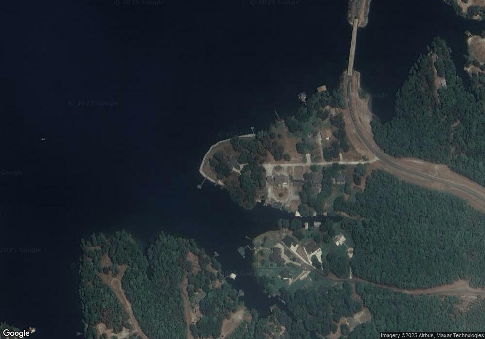
Map
Nearby Homes
- 70 & 84 Windward Ln
- 235 Bayview Dr Unit 4
- 160 Domingue Ln
- 275 Commerce Ln
- 01 Beau Chene Dr Unit 34
- 44 Turtle Wayne Ln Unit 18
- 132 Gumbo Ln
- 0 Ford Rd Unit 11203424
- 111 Beau Bois
- 360 Brandon Estates
- 0 Emery Ln Unit 57 11337840
- 108 Sanders Dr
- 128 Knott Dr
- 42 Wingate Dr
- 225 Alliance Loop
- 60 Paul Rd
- 1700 Pilcher Rd
- 130 Sunrise Ln Unit Lot 4 & Tract 17
- 1 Shady Ln
- 115 Nu & Be Ln
- 123 Point Dr
- 103 Point Dr
- 90 Point Dr
- 75 Point Dr
- 240 Center Point Dr
- 62 Point Dr
- 250 Center Point Dr
- 51 Point Dr
- 230 Center Point Dr
- 522 Bayshore Dr
- 245 Center Point Dr
- 224 Center Point Dr
- 0 S Pointe Estates Unit 165890
- 0 S Pointe Estates Unit CN168447
- 0 S Pointe Estates Unit 14700844
- 500 Bayshore Dr
- 235 Center Point Dr
- 235 Center Point Dr Unit 6
- 482 Bayshore Dr
- 225 Center Point Dr