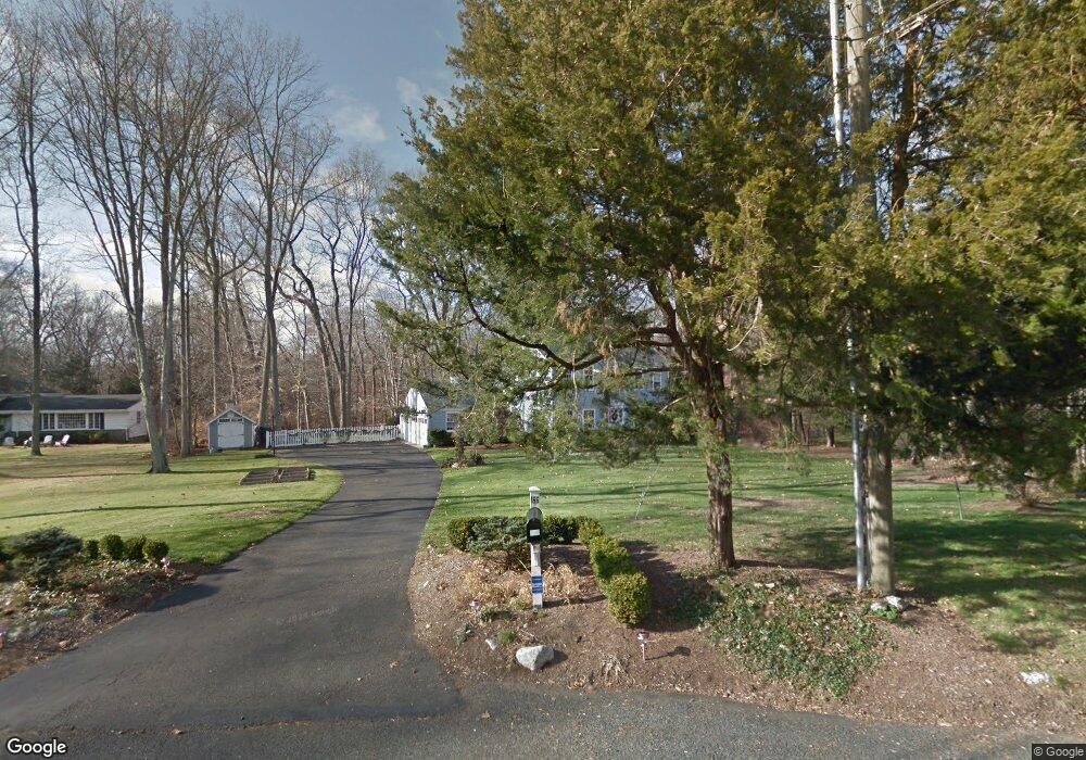
166 Sasco River Ln Southport, CT 06890
Estimated Value: $1,347,000 - $1,898,177
4
Beds
4
Baths
3,381
Sq Ft
$467/Sq Ft
Est. Value
About This Home
This home is located at 166 Sasco River Ln, Southport, CT 06890 and is currently estimated at $1,578,794, approximately $466 per square foot. 166 Sasco River Ln is a home located in Fairfield County with nearby schools including Dwight Elementary School, Roger Ludlowe Middle School, and Fairfield Ludlowe High School.
Ownership History
Date
Name
Owned For
Owner Type
Purchase Details
Closed on
Dec 14, 2007
Sold by
Rudd Bette S and Rudd Robert W
Bought by
Lennon Patrick F and Lennon Tracy W
Current Estimated Value
Purchase Details
Closed on
Jun 10, 2002
Sold by
Avery Mary T
Bought by
Rudd Robert W and Rudd Bete C
Home Financials for this Owner
Home Financials are based on the most recent Mortgage that was taken out on this home.
Original Mortgage
$491,000
Interest Rate
6.9%
Create a Home Valuation Report for This Property
The Home Valuation Report is an in-depth analysis detailing your home's value as well as a comparison with similar homes in the area
Home Values in the Area
Average Home Value in this Area
Purchase History
| Date | Buyer | Sale Price | Title Company |
|---|---|---|---|
| Lennon Patrick F | $900,000 | -- | |
| Lennon Patrick F | $900,000 | -- | |
| Rudd Robert W | $656,000 | -- | |
| Rudd Robert W | $656,000 | -- |
Source: Public Records
Mortgage History
| Date | Status | Borrower | Loan Amount |
|---|---|---|---|
| Open | Rudd Robert W | $200,000 | |
| Previous Owner | Rudd Robert W | $491,000 |
Source: Public Records
Tax History Compared to Growth
Tax History
| Year | Tax Paid | Tax Assessment Tax Assessment Total Assessment is a certain percentage of the fair market value that is determined by local assessors to be the total taxable value of land and additions on the property. | Land | Improvement |
|---|---|---|---|---|
| 2025 | $20,906 | $736,400 | $463,260 | $273,140 |
| 2024 | $20,546 | $736,400 | $463,260 | $273,140 |
| 2023 | $20,258 | $736,400 | $463,260 | $273,140 |
| 2022 | $20,060 | $736,400 | $463,260 | $273,140 |
| 2021 | $19,868 | $736,400 | $463,260 | $273,140 |
| 2020 | $20,784 | $775,810 | $458,640 | $317,170 |
| 2019 | $20,784 | $775,810 | $458,640 | $317,170 |
| 2018 | $20,450 | $775,810 | $458,640 | $317,170 |
| 2017 | $20,031 | $775,810 | $458,640 | $317,170 |
| 2016 | $19,744 | $775,810 | $458,640 | $317,170 |
| 2015 | $16,204 | $653,660 | $366,800 | $286,860 |
| 2014 | $15,372 | $630,000 | $366,800 | $263,200 |
Source: Public Records
Map
Nearby Homes
- 1001 Hulls Farm Rd
- 1 Sturges Hwy Unit Lot 1
- 1 Sturges Hwy Unit 2
- 10 Debra Ln
- 107 Old Rd
- 125 Old Rd
- 1 Coastal Ct
- 688 Hulls Farm Rd
- 40 Maple Ave N
- 21 Sturges Commons
- 6 Bayberry Common
- 1135 Mill Hill Rd
- 7 High Gate Rd
- 220 Lansdowne
- 153 Pease Ave
- 21 Queens Grant Dr
- 844 Mill Hill Terrace
- 185 Regents Park
- 36 Maple Ave S
- 160 Cedar Rd
- 149 Sasco River Ln
- 140 Sasco River Ln
- 158 Sasco River Ln
- 207 Sasco River Ln
- 117 Sasco River Ln
- 194 Sasco River Ln
- 100 Sasco River Ln
- 1239 Cedar Rd
- 60 Sasco River Ln
- 75 Sasco River Ln
- 889 Hulls Hwy
- 1069 Hulls Hwy
- 20 Sasco River Ln
- 963 Hulls Hwy
- 1265 Cedar Rd
- 206 Long Lots Rd
- 1099 Hulls Hwy
- 1023 Hulls Hwy Unit LANE
- 1023 Hulls Hwy
- 13 Godfrey Ln