166 Southampton Dr Galloway, NJ 08205
Estimated Value: $433,401 - $544,000
3
Beds
2
Baths
2,072
Sq Ft
$227/Sq Ft
Est. Value
About This Home
This home is located at 166 Southampton Dr, Galloway, NJ 08205 and is currently estimated at $469,350, approximately $226 per square foot. 166 Southampton Dr is a home located in Atlantic County with nearby schools including Absegami High School, Cedar Creek High School, and Oakcrest High School.
Ownership History
Date
Name
Owned For
Owner Type
Purchase Details
Closed on
Aug 22, 2014
Sold by
Biehler David and Slevin Stephanie
Bought by
Williams Harold L and Omeara Denise
Current Estimated Value
Home Financials for this Owner
Home Financials are based on the most recent Mortgage that was taken out on this home.
Original Mortgage
$75,000
Outstanding Balance
$57,251
Interest Rate
4.14%
Mortgage Type
New Conventional
Estimated Equity
$412,099
Purchase Details
Closed on
Jun 20, 2013
Sold by
Forsyth Rosemary H
Bought by
Biehler David and Slevin Stephanie
Home Financials for this Owner
Home Financials are based on the most recent Mortgage that was taken out on this home.
Original Mortgage
$246,850
Interest Rate
3.83%
Mortgage Type
VA
Create a Home Valuation Report for This Property
The Home Valuation Report is an in-depth analysis detailing your home's value as well as a comparison with similar homes in the area
Home Values in the Area
Average Home Value in this Area
Purchase History
| Date | Buyer | Sale Price | Title Company |
|---|---|---|---|
| Williams Harold L | $261,000 | Multiple | |
| Biehler David | $239,000 | None Available |
Source: Public Records
Mortgage History
| Date | Status | Borrower | Loan Amount |
|---|---|---|---|
| Open | Williams Harold L | $75,000 | |
| Previous Owner | Biehler David | $246,850 |
Source: Public Records
Tax History Compared to Growth
Tax History
| Year | Tax Paid | Tax Assessment Tax Assessment Total Assessment is a certain percentage of the fair market value that is determined by local assessors to be the total taxable value of land and additions on the property. | Land | Improvement |
|---|---|---|---|---|
| 2025 | $7,167 | $214,700 | $44,800 | $169,900 |
| 2024 | $7,167 | $214,700 | $44,800 | $169,900 |
| 2023 | $6,894 | $214,700 | $44,800 | $169,900 |
| 2022 | $6,894 | $214,700 | $44,800 | $169,900 |
| 2021 | $6,757 | $214,700 | $44,800 | $169,900 |
| 2020 | $6,649 | $214,700 | $44,800 | $169,900 |
| 2019 | $6,527 | $214,700 | $44,800 | $169,900 |
| 2018 | $6,619 | $214,700 | $44,800 | $169,900 |
| 2017 | $7,082 | $229,700 | $44,800 | $184,900 |
| 2016 | $7,020 | $229,700 | $44,800 | $184,900 |
| 2015 | $6,987 | $229,700 | $44,800 | $184,900 |
| 2014 | $6,755 | $229,700 | $44,800 | $184,900 |
Source: Public Records
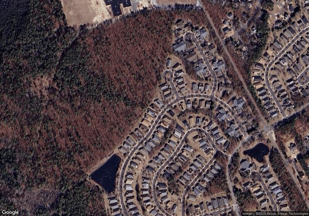
Map
Nearby Homes
- 121 Dover Ct Unit A1
- 517 Weston Dr
- 108 Hyannis Ct
- 559 E Revere Way
- 115 Devon Ct
- 644 E Chancery Ln Unit 14A
- 37 Driftwood Ct Unit 37
- 55 S New York Rd
- 55 Driftwood Ct
- 144 Driftwood Ct Unit 8
- 81 Trotters Ln
- 60 Trotters Ln Unit 909
- 83 Trotters Ln Unit 506
- 44 Trotters Ln Unit 1007
- 84 Trotters Ln Unit 809
- 6 Malibu Way Unit 6 Malibu Way
- 449 Coventry Way
- 37 Derby Dr
- 214 Meadow Ridge Rd Unit 212
- 148 Meadow Ridge Rd Unit C0171
- 164 Southampton Dr
- 168 Southampton Dr
- 162 Southampton Dr
- 167 Southampton Dr
- 100 Cotuit Ct
- 160 Southampton Dr
- 169 Southampton Dr
- 165 Southampton Dr
- 102 Cotuit Ct
- 171 Southampton Dr
- 171 Southampton Dr
- 163 Southampton Dr
- 104 Cotuit Ct
- 158 Southampton Dr
- 161 Southampton Dr
- 173 Southampton Dr
- 156 Southampton Dr
- 159 Southampton Dr
- 119 Brewster Dr
- 101 Cotuit Ct