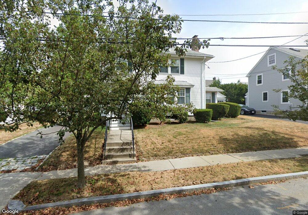
166 Standish Rd Watertown, MA 02472
West Watertown NeighborhoodEstimated Value: $1,049,389 - $1,153,000
3
Beds
2
Baths
1,794
Sq Ft
$615/Sq Ft
Est. Value
About This Home
This home is located at 166 Standish Rd, Watertown, MA 02472 and is currently estimated at $1,102,597, approximately $614 per square foot. 166 Standish Rd is a home located in Middlesex County with nearby schools including The Kendall School and Beacon High School.
Ownership History
Date
Name
Owned For
Owner Type
Purchase Details
Closed on
Dec 12, 2023
Sold by
Oates William G and Oates Marion B
Bought by
William G Oates Ret and Oates
Current Estimated Value
Purchase Details
Closed on
Dec 16, 1992
Sold by
Weiner Ada Est
Bought by
Oates William G and Oates Marion B
Home Financials for this Owner
Home Financials are based on the most recent Mortgage that was taken out on this home.
Original Mortgage
$175,000
Interest Rate
8.3%
Mortgage Type
Purchase Money Mortgage
Create a Home Valuation Report for This Property
The Home Valuation Report is an in-depth analysis detailing your home's value as well as a comparison with similar homes in the area
Home Values in the Area
Average Home Value in this Area
Purchase History
| Date | Buyer | Sale Price | Title Company |
|---|---|---|---|
| William G Oates Ret | -- | None Available | |
| William G Oates Ret | -- | None Available | |
| William G Oates Ret | -- | None Available | |
| Oates William G | $73,000 | -- |
Source: Public Records
Mortgage History
| Date | Status | Borrower | Loan Amount |
|---|---|---|---|
| Previous Owner | Oates William G | $170,000 | |
| Previous Owner | Oates William G | $175,000 |
Source: Public Records
Tax History
| Year | Tax Paid | Tax Assessment Tax Assessment Total Assessment is a certain percentage of the fair market value that is determined by local assessors to be the total taxable value of land and additions on the property. | Land | Improvement |
|---|---|---|---|---|
| 2025 | $11,754 | $1,006,300 | $604,100 | $402,200 |
| 2024 | $10,901 | $931,700 | $578,900 | $352,800 |
| 2023 | $11,567 | $851,800 | $542,700 | $309,100 |
| 2022 | $10,554 | $796,500 | $499,300 | $297,200 |
| 2021 | $9,314 | $760,300 | $463,100 | $297,200 |
| 2020 | $9,230 | $760,300 | $463,100 | $297,200 |
| 2019 | $9,064 | $703,700 | $463,100 | $240,600 |
| 2018 | $9,057 | $672,400 | $463,100 | $209,300 |
| 2017 | $9,187 | $661,400 | $448,600 | $212,800 |
| 2016 | $8,190 | $598,700 | $405,200 | $193,500 |
| 2015 | $8,400 | $558,900 | $365,400 | $193,500 |
| 2014 | $8,144 | $544,400 | $350,900 | $193,500 |
Source: Public Records
Map
Nearby Homes
- 589-591 Belmont St
- 519 Belmont St
- 519 Belmont St Unit 2
- 125 Trapelo Rd Unit 21
- 125 Trapelo Rd Unit 36
- 456 Belmont St Unit 10
- 11 Harriet Ave Unit 2
- 9 Harriet Ave Unit 1
- 34 Bradford Rd Unit 34
- 71 Carroll St Unit 71
- 87 Lowell Ave Unit 87
- 85 Lowell Ave
- 76 Hovey St
- 76 Hovey St Unit 3
- 90 Harnden Ave Unit 90
- 6 Hovey St
- 289 Waverley Ave Unit 2
- 11 Barbara Terrace
- 40 Marion Rd
- 15 Wiley Rd Unit 15
- 160 Standish Rd
- 172 Standish Rd
- 173 Lovell Rd
- 175 Lovell Rd
- 167 Lovell Rd
- 165 Standish Rd
- 159 Standish Rd
- 154 Standish Rd
- 176 Standish Rd
- 169 Standish Rd
- 161 Lovell Rd
- 183 Lovell Rd
- 155 Standish Rd
- 175 Standish Rd
- 24 Merrill Rd
- 174 Lovell Rd
- 20 Merrill Rd
- 148 Standish Rd
- 182 Standish Rd
- 170 Lovell Rd
Your Personal Tour Guide
Ask me questions while you tour the home.