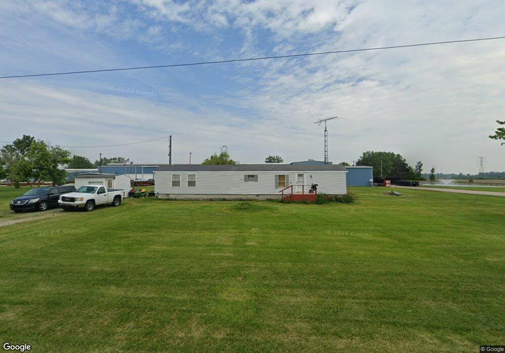
166 State Route 523 Fremont, OH 43420
Estimated Value: $58,000 - $165,000
2
Beds
1
Bath
924
Sq Ft
$103/Sq Ft
Est. Value
About This Home
This home is located at 166 State Route 523, Fremont, OH 43420 and is currently estimated at $95,587, approximately $103 per square foot. 166 State Route 523 is a home located in Sandusky County with nearby schools including Fremont Ross High School.
Ownership History
Date
Name
Owned For
Owner Type
Purchase Details
Closed on
Oct 27, 2003
Sold by
Shockley Larry A and Shockley Mary E
Bought by
Zimmerman Alfred E
Current Estimated Value
Purchase Details
Closed on
Dec 1, 2000
Sold by
Genzman Dewilton W
Bought by
Schockley Larry A and Schockley Mary E
Home Financials for this Owner
Home Financials are based on the most recent Mortgage that was taken out on this home.
Original Mortgage
$31,500
Interest Rate
7.8%
Mortgage Type
Purchase Money Mortgage
Create a Home Valuation Report for This Property
The Home Valuation Report is an in-depth analysis detailing your home's value as well as a comparison with similar homes in the area
Home Values in the Area
Average Home Value in this Area
Purchase History
| Date | Buyer | Sale Price | Title Company |
|---|---|---|---|
| Zimmerman Alfred E | $22,500 | Midland Title | |
| Schockley Larry A | $32,500 | -- |
Source: Public Records
Mortgage History
| Date | Status | Borrower | Loan Amount |
|---|---|---|---|
| Previous Owner | Schockley Larry A | $31,500 |
Source: Public Records
Tax History Compared to Growth
Tax History
| Year | Tax Paid | Tax Assessment Tax Assessment Total Assessment is a certain percentage of the fair market value that is determined by local assessors to be the total taxable value of land and additions on the property. | Land | Improvement |
|---|---|---|---|---|
| 2024 | $313 | $17,960 | $7,700 | $10,260 |
| 2023 | $313 | $16,310 | $7,000 | $9,310 |
| 2022 | $307 | $16,310 | $7,000 | $9,310 |
| 2021 | $317 | $16,310 | $7,000 | $9,310 |
| 2020 | $106 | $11,240 | $7,000 | $4,240 |
| 2019 | $103 | $11,240 | $7,000 | $4,240 |
| 2018 | $103 | $11,240 | $7,000 | $4,240 |
| 2017 | $87 | $10,850 | $7,000 | $3,850 |
| 2016 | $77 | $10,850 | $7,000 | $3,850 |
| 2015 | $75 | $10,850 | $7,000 | $3,850 |
| 2014 | $77 | $10,790 | $6,970 | $3,820 |
| 2013 | $75 | $10,790 | $6,970 | $3,820 |
Source: Public Records
Map
Nearby Homes
- 3285 County Road 170
- 10148 W Elmore Eastern Rd
- 2424 Stephanie Ln
- 1301 Ohio 523 Unit 55
- 1301 Ohio 523 Unit 39
- 1301 Ohio 523 Unit 15
- 2020 S Mud Creek Rd
- 7723 W Little Portage Rd E
- 11968 W Michael Dr
- 12672 W Portage River Rd S
- 162 Oak Ridge Dr
- 147 E Water St
- 328 E Water St
- 14328 W State Route 163
- 0 County Road 210
- 130 E Water St
- 9238 W State Route 163
- 12342 W State Route 105
- 236 W Main St
- 506 W Water St
- 4769 Oak Harbor Rd
- 56 Ohio 523
- 6700 Oak Harbor Rd
- 4651 Oak Harbor Rd
- 4750 Ohio 19
- 4747 Oak Harbor Rd
- 175 State Route 523
- 4803 Highway 19
- 4803 Ohio 19
- 4571 Oak Harbor Rd
- 4803 Oak Harbor Rd
- 3700 County Road 164
- 252 County Road 143
- 4521 Oak Harbor Rd
- 4847 Oak Harbor Rd
- 4857 Oak Harbor Rd
- 4491 Oak Harbor Rd
- 4512 Ohio 19
- 115 County Road 155
- 4512 Oak Harbor Rd