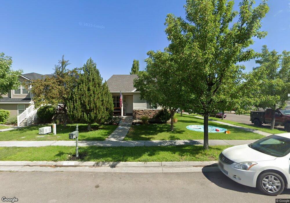
166 W 1530 N Tooele, UT 84074
Estimated Value: $412,791 - $466,000
--
Bed
--
Bath
2,330
Sq Ft
$185/Sq Ft
Est. Value
About This Home
This home is located at 166 W 1530 N, Tooele, UT 84074 and is currently estimated at $430,698, approximately $184 per square foot. 166 W 1530 N is a home located in Tooele County with nearby schools including Overlake Elementary School, Clarke N. Johnsen Junior High School, and Stansbury High School.
Ownership History
Date
Name
Owned For
Owner Type
Purchase Details
Closed on
Apr 8, 2016
Sold by
Rees Robert A and Rees Carol R
Bought by
Rees Robert Arthur and Rees Carol Rosyna
Current Estimated Value
Purchase Details
Closed on
Nov 7, 2007
Sold by
Secured Property Assets Llc
Bought by
Rees Robert A and Rees Carol R
Home Financials for this Owner
Home Financials are based on the most recent Mortgage that was taken out on this home.
Original Mortgage
$188,900
Outstanding Balance
$119,395
Interest Rate
6.36%
Mortgage Type
New Conventional
Estimated Equity
$311,303
Purchase Details
Closed on
May 16, 2007
Sold by
Tooele Associates Limited Partnership
Bought by
Secured Property Assets Llc
Create a Home Valuation Report for This Property
The Home Valuation Report is an in-depth analysis detailing your home's value as well as a comparison with similar homes in the area
Home Values in the Area
Average Home Value in this Area
Purchase History
| Date | Buyer | Sale Price | Title Company |
|---|---|---|---|
| Rees Robert Arthur | -- | None Available | |
| Rees Robert A | -- | Utah Mountain Title | |
| Secured Property Assets Llc | -- | Meridian Title Company |
Source: Public Records
Mortgage History
| Date | Status | Borrower | Loan Amount |
|---|---|---|---|
| Open | Rees Robert A | $188,900 |
Source: Public Records
Tax History Compared to Growth
Tax History
| Year | Tax Paid | Tax Assessment Tax Assessment Total Assessment is a certain percentage of the fair market value that is determined by local assessors to be the total taxable value of land and additions on the property. | Land | Improvement |
|---|---|---|---|---|
| 2025 | $2,685 | $216,401 | $52,250 | $164,151 |
| 2024 | $2,931 | $216,713 | $52,250 | $164,463 |
| 2023 | $2,931 | $237,767 | $49,770 | $187,997 |
| 2022 | $2,874 | $237,474 | $64,020 | $173,454 |
| 2021 | $2,396 | $164,588 | $19,525 | $145,063 |
| 2020 | $2,240 | $270,991 | $35,500 | $235,491 |
| 2019 | $2,169 | $259,777 | $35,500 | $224,277 |
| 2018 | $1,931 | $220,065 | $30,000 | $190,065 |
| 2017 | $1,540 | $207,631 | $30,000 | $177,631 |
| 2016 | $1,269 | $94,781 | $8,250 | $86,531 |
| 2015 | $1,269 | $89,987 | $0 | $0 |
| 2014 | -- | $89,987 | $0 | $0 |
Source: Public Records
Map
Nearby Homes
- 1568 Dawson Ln
- 1558 Durocher Ln
- 1581 Durocher Ln
- 1648 Dawson Ln
- 1655 Cerroni Dr
- 295 Drysdale Way
- 1423 Baen Way Unit 229
- 1413 N Baen Way Unit 230
- 1413 N Baen Way
- 1431 N Baen Way
- 1431 N Baen Way Unit 226
- 1206 N Berra Blvd
- 61 W 1570 N
- 132 W Ebbets Unit 255
- 132 W Ebbets
- 113 High Cheddar Unit 235
- 113 High Cheddar
- 1416 N Baen Way
- 1416 Baen Way Unit 240
- 1408 N Baen Way