166 Watson Rd Epworth, GA 30541
Estimated Value: $437,000 - $598,000
--
Bed
1
Bath
480
Sq Ft
$1,070/Sq Ft
Est. Value
About This Home
This home is located at 166 Watson Rd, Epworth, GA 30541 and is currently estimated at $513,667, approximately $1,070 per square foot. 166 Watson Rd is a home with nearby schools including Fannin County High School.
Ownership History
Date
Name
Owned For
Owner Type
Purchase Details
Closed on
Nov 23, 2020
Sold by
Litre Patrick
Bought by
Bower Street Llc
Current Estimated Value
Purchase Details
Closed on
Apr 9, 2014
Sold by
Watson Maxine Patterson /Tr
Bought by
Litre Patrick and Litre Karen
Purchase Details
Closed on
Aug 22, 2001
Sold by
Watson Fred A and Watson
Bought by
Watson Maxine Patterson As Trustee
Purchase Details
Closed on
Jul 24, 1984
Bought by
Watson Fred A and Watson
Create a Home Valuation Report for This Property
The Home Valuation Report is an in-depth analysis detailing your home's value as well as a comparison with similar homes in the area
Home Values in the Area
Average Home Value in this Area
Purchase History
| Date | Buyer | Sale Price | Title Company |
|---|---|---|---|
| Bower Street Llc | -- | -- | |
| Litre Patrick | $267,491 | -- | |
| Watson Maxine Patterson As Trustee | -- | -- | |
| Watson Fred A | -- | -- |
Source: Public Records
Tax History Compared to Growth
Tax History
| Year | Tax Paid | Tax Assessment Tax Assessment Total Assessment is a certain percentage of the fair market value that is determined by local assessors to be the total taxable value of land and additions on the property. | Land | Improvement |
|---|---|---|---|---|
| 2024 | $724 | $136,127 | $72,823 | $63,304 |
| 2023 | $671 | $123,308 | $72,823 | $50,484 |
| 2022 | $674 | $123,949 | $72,823 | $51,126 |
| 2021 | $538 | $68,355 | $43,189 | $25,166 |
| 2020 | $542 | $68,355 | $43,189 | $25,166 |
| 2019 | $548 | $68,355 | $43,189 | $25,166 |
| 2018 | $577 | $68,355 | $43,189 | $25,166 |
| 2017 | $1,216 | $68,713 | $43,189 | $25,524 |
| 2016 | $493 | $62,665 | $43,189 | $19,476 |
| 2015 | $471 | $62,952 | $43,189 | $19,763 |
| 2014 | $454 | $71,014 | $50,093 | $20,920 |
| 2013 | -- | $64,500 | $50,093 | $14,407 |
Source: Public Records
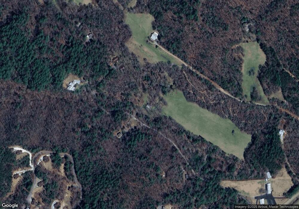
Map
Nearby Homes
- 550 Watson Rd
- Tract 2 Emmaus Rd
- 85 Foster Cove Rd
- 100 Cohutta View Rd
- 463 Big Sky Trail Unit 15,16,17
- 463 Big Sky Trail
- 6460 Highway 2
- 580 Emmaus Rd
- 28.65 AC Jolley Way
- 28 AC Jolley Way
- 739 Big Sky Trail
- 370 High Ridge Rd
- 0 Menagerie Ridge
- 101 Menagerie Ridge
- 8556 Highway 2
- 126 Walter Mountain Dr
- 1056 Jolley Way
- 626 Watson Rd
- 165 Watson Rd
- 590 Watson Rd
- 450 Watson Rd
- 431 Lottie Ln
- 0 Cypress Mountan
- 7174 Highway 2
- 121 Lottie Ln
- 0 Watson Rd Hwy 2 at Bravo Ln
- 0 Lottie Ln Unit 8368393
- 0 Lottie Ln Unit 8265122
- 0 Lottie Ln
- 170 Lottie Ln
- 75 Lottie Ln
- 101 Lottie Ln
- 101 Lottie Ln
- 70 Emmaus Rd
- 327 Watson Rd
- 70 Emmaus Rd
- 70 Foster Cove Rd