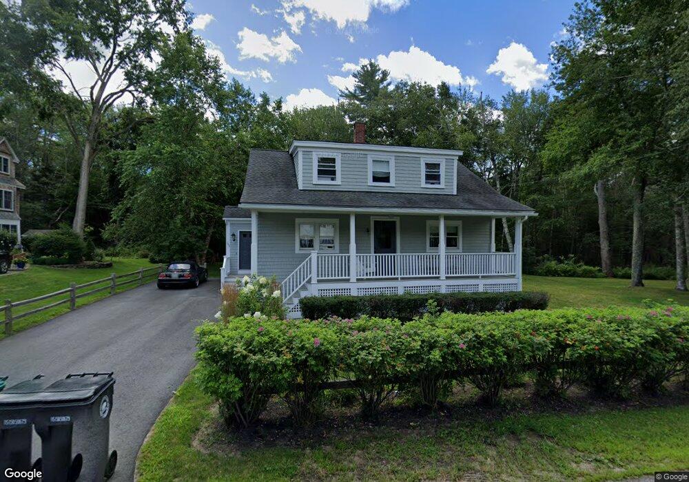
166 Western Ave Kennebunk, ME 04043
Estimated Value: $595,526 - $1,267,000
3
Beds
2
Baths
1,660
Sq Ft
$512/Sq Ft
Est. Value
About This Home
This home is located at 166 Western Ave, Kennebunk, ME 04043 and is currently estimated at $849,882, approximately $511 per square foot. 166 Western Ave is a home located in York County with nearby schools including Kennebunk High School and The New School.
Ownership History
Date
Name
Owned For
Owner Type
Purchase Details
Closed on
Mar 25, 2021
Sold by
Rioux Susan
Bought by
Rioux Jeffrey
Current Estimated Value
Home Financials for this Owner
Home Financials are based on the most recent Mortgage that was taken out on this home.
Original Mortgage
$211,000
Outstanding Balance
$189,466
Interest Rate
2.8%
Mortgage Type
Purchase Money Mortgage
Estimated Equity
$660,416
Purchase Details
Closed on
May 4, 2010
Sold by
Hodes Mary and Romano Thomas
Bought by
Rioux Susan and Rioux Jeffrey
Home Financials for this Owner
Home Financials are based on the most recent Mortgage that was taken out on this home.
Original Mortgage
$214,000
Interest Rate
4.99%
Mortgage Type
Purchase Money Mortgage
Create a Home Valuation Report for This Property
The Home Valuation Report is an in-depth analysis detailing your home's value as well as a comparison with similar homes in the area
Home Values in the Area
Average Home Value in this Area
Purchase History
| Date | Buyer | Sale Price | Title Company |
|---|---|---|---|
| Rioux Jeffrey | -- | None Available | |
| Rioux Susan | $267,500 | -- |
Source: Public Records
Mortgage History
| Date | Status | Borrower | Loan Amount |
|---|---|---|---|
| Open | Rioux Jeffrey | $211,000 | |
| Previous Owner | Rioux Susan | $214,000 |
Source: Public Records
Tax History Compared to Growth
Tax History
| Year | Tax Paid | Tax Assessment Tax Assessment Total Assessment is a certain percentage of the fair market value that is determined by local assessors to be the total taxable value of land and additions on the property. | Land | Improvement |
|---|---|---|---|---|
| 2024 | $4,783 | $282,200 | $126,400 | $155,800 |
| 2023 | $4,529 | $282,200 | $126,400 | $155,800 |
| 2022 | $4,120 | $282,200 | $126,400 | $155,800 |
| 2021 | $4,021 | $282,200 | $126,400 | $155,800 |
| 2020 | $5,439 | $282,200 | $126,400 | $155,800 |
| 2019 | $6,010 | $282,200 | $126,400 | $155,800 |
| 2018 | $5,803 | $211,600 | $94,800 | $116,800 |
| 2017 | $3,502 | $211,600 | $94,800 | $116,800 |
| 2016 | $3,364 | $211,600 | $94,800 | $116,800 |
| 2015 | $3,237 | $211,600 | $94,800 | $116,800 |
| 2014 | $3,153 | $211,600 | $94,800 | $116,800 |
Source: Public Records
Map
Nearby Homes
- 12 Ephraim Tyler Way
- 20 Ephraim Tyler Way Unit 20
- 15 Benjamin Hubbard Ln Unit 15
- 53 Great Hill Rd
- 40 Shorebreezes Ln Unit 40
- 57 Southgate Rd
- 45 and 57 Southgate Rd
- 87 Boothby Rd
- 20 Surf Ln
- 175 Beach Ave Unit 2
- 147 Beach Ave Unit 42
- 143 Beach Ave Unit 205
- 143 Beach Ave Unit 203
- 149 Beach Ave Unit 107
- 14 Rachel Dr
- 17 Bayberry Ave
- 12 Wallace St
- 6 Old Port Rd
- Lot#39 Bufflehead Cove Ln
- 93 Beach Ave
- 162 Western Ave
- 165 Western Ave
- 18 Sea Garden Cir
- 158 Western Ave
- 160 Western Ave
- 2 Christopher Rd
- 20 Sea Garden Cir
- 16 Sea Garden Cir
- 4 Christopher Rd
- 171 Western Ave
- 1 Christopher Rd
- 24 Sea Garden Cir
- 21 Sea Garden Cir
- 6 Christopher Rd
- 14 Sea Garden Cir
- 26 Sea Garden Cir
- 19 Sea Garden Cir
- 3 Christopher Rd
- 154 Western Ave
- 153 Western Ave