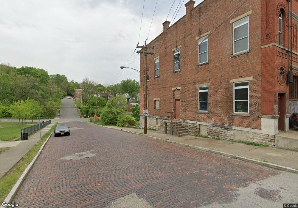
1660 Carll St Cincinnati, OH 45225
North Fairmount NeighborhoodEstimated Value: $72,000 - $124,000
2
Beds
1
Bath
4,176
Sq Ft
$22/Sq Ft
Est. Value
About This Home
This home is located at 1660 Carll St, Cincinnati, OH 45225 and is currently estimated at $91,065, approximately $21 per square foot. 1660 Carll St is a home located in Hamilton County with nearby schools including Ethel M. Taylor Academy, Robert A. Taft Information Technology High School, and Gilbert A. Dater High School.
Ownership History
Date
Name
Owned For
Owner Type
Purchase Details
Closed on
Nov 26, 2013
Sold by
Hoffmann Sarah K and Hoffman Sarah
Bought by
Brungs Benjamin
Current Estimated Value
Purchase Details
Closed on
Apr 22, 2004
Sold by
North Fairmount Community Center Inc
Bought by
Hoffmann Sarah K
Purchase Details
Closed on
Jul 9, 2002
Sold by
City Of Cincinnati
Bought by
North Fairmount Community Center Inc
Create a Home Valuation Report for This Property
The Home Valuation Report is an in-depth analysis detailing your home's value as well as a comparison with similar homes in the area
Home Values in the Area
Average Home Value in this Area
Purchase History
| Date | Buyer | Sale Price | Title Company |
|---|---|---|---|
| Brungs Benjamin | $20,000 | Attorney | |
| Hoffmann Sarah K | $44,000 | -- | |
| North Fairmount Community Center Inc | -- | -- |
Source: Public Records
Tax History Compared to Growth
Tax History
| Year | Tax Paid | Tax Assessment Tax Assessment Total Assessment is a certain percentage of the fair market value that is determined by local assessors to be the total taxable value of land and additions on the property. | Land | Improvement |
|---|---|---|---|---|
| 2024 | $904 | $14,266 | $1,421 | $12,845 |
| 2023 | $924 | $14,266 | $1,421 | $12,845 |
| 2022 | $1,259 | $17,735 | $1,428 | $16,307 |
| 2021 | $1,197 | $17,735 | $1,428 | $16,307 |
| 2020 | $1,231 | $17,735 | $1,428 | $16,307 |
| 2019 | $1,223 | $16,122 | $1,299 | $14,823 |
| 2018 | $1,225 | $16,122 | $1,299 | $14,823 |
| 2017 | $1,162 | $16,122 | $1,299 | $14,823 |
| 2016 | $530 | $7,001 | $1,621 | $5,380 |
| 2015 | $481 | $7,001 | $1,621 | $5,380 |
| 2014 | $485 | $7,001 | $1,621 | $5,380 |
| 2013 | $445 | $6,307 | $1,603 | $4,704 |
Source: Public Records
Map
Nearby Homes
- 1674 Baltimore Ave
- 1646 Pulte St
- 1704 Pulte St
- 2652 Linden St
- 2650 Linden St
- 2654 Linden St
- 2658 Linden St
- 2656 Linden St
- 1623 Sutter Ave
- 1721 Sutter Ave
- 1642 Sutter Ave
- 2911 Moosewood Ct
- 1770 Carll St
- 1619 Hopple Ct
- 2568 Trevor Place
- 1797 Denham St
- 1808 Carll St
- 2568 Beekman St
- 2571 Liddell St
- 2572 Liddell St
- 1658 Carll St
- 1655 Carll St
- 1653 Carll St
- 1645 Denham St
- 1680 Baltimore Ave
- 1643 Denham St
- 1640 Carll St
- 1641 Denham St
- 1658 Denham St
- 1700 Baltimore Ave
- 1654 Denham St
- 1702 Denham St
- 1639 Denham St
- 1706 Baltimore Ave
- 1659 Denham St
- 1645 Carll St
- 1646 Denham St
- 1646 Denham St
- 1636 Carll St
- 1637 Denham St