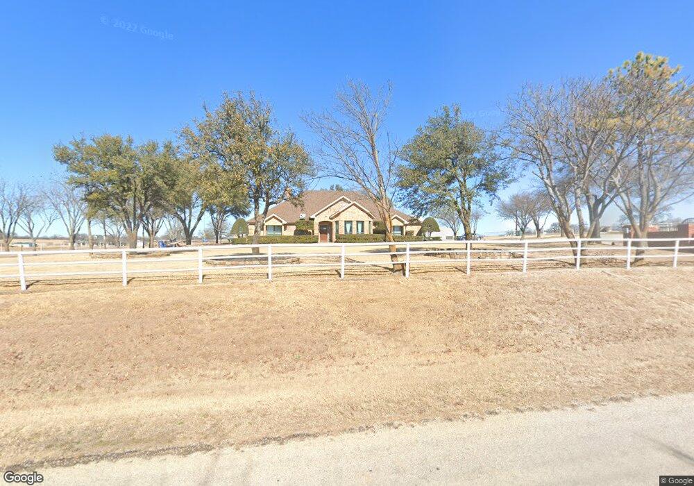
1660 County Road 4360 Decatur, TX 76234
Estimated Value: $546,271 - $686,000
3
Beds
3
Baths
2,486
Sq Ft
$250/Sq Ft
Est. Value
About This Home
This home is located at 1660 County Road 4360, Decatur, TX 76234 and is currently estimated at $621,568, approximately $250 per square foot. 1660 County Road 4360 is a home located in Wise County with nearby schools including Boyd Elementary School, Boyd Middle School, and Boyd High School.
Ownership History
Date
Name
Owned For
Owner Type
Purchase Details
Closed on
Mar 31, 2011
Sold by
Carter Perry Pinkham
Bought by
Carter Perry P and Thomas Lydia A
Current Estimated Value
Home Financials for this Owner
Home Financials are based on the most recent Mortgage that was taken out on this home.
Original Mortgage
$222,200
Outstanding Balance
$155,006
Interest Rate
5.04%
Mortgage Type
FHA
Estimated Equity
$466,562
Purchase Details
Closed on
May 30, 2006
Sold by
Carter Perry
Bought by
Carter Perry and Carter Lydia
Purchase Details
Closed on
Apr 4, 2001
Sold by
Carter Perry
Bought by
Carter Perry and Carter Lydia
Purchase Details
Closed on
Jan 1, 1901
Bought by
Carter Perry and Carter Lydia
Create a Home Valuation Report for This Property
The Home Valuation Report is an in-depth analysis detailing your home's value as well as a comparison with similar homes in the area
Home Values in the Area
Average Home Value in this Area
Purchase History
| Date | Buyer | Sale Price | Title Company |
|---|---|---|---|
| Carter Perry P | -- | -- | |
| Carter Perry | -- | -- | |
| Carter Perry | -- | -- | |
| Carter Perry | -- | -- |
Source: Public Records
Mortgage History
| Date | Status | Borrower | Loan Amount |
|---|---|---|---|
| Open | Carter Perry P | $222,200 |
Source: Public Records
Tax History Compared to Growth
Tax History
| Year | Tax Paid | Tax Assessment Tax Assessment Total Assessment is a certain percentage of the fair market value that is determined by local assessors to be the total taxable value of land and additions on the property. | Land | Improvement |
|---|---|---|---|---|
| 2025 | $4,060 | $460,337 | -- | -- |
| 2024 | $4,060 | $418,488 | $0 | $0 |
| 2023 | $4,544 | $380,444 | $0 | $0 |
| 2022 | $5,136 | $345,858 | $0 | $0 |
| 2021 | $4,997 | $314,420 | $23,250 | $291,170 |
| 2020 | $4,833 | $303,320 | $26,240 | $277,080 |
| 2019 | $4,697 | $285,830 | $26,240 | $259,590 |
| 2018 | $4,463 | $251,450 | $15,000 | $236,450 |
| 2017 | $4,463 | $251,450 | $15,000 | $236,450 |
| 2016 | $4,308 | $256,700 | $29,990 | $226,710 |
| 2015 | -- | $236,970 | $24,740 | $212,230 |
| 2014 | -- | $223,520 | $19,130 | $204,390 |
Source: Public Records
Map
Nearby Homes
- 277 County Road 4461
- 120 Parkview Ln
- 132 Parkview Ln
- 611 Pr 4461
- Caleb Plan at Highland Oaks
- Camden Plan at Highland Oaks
- Carson Plan at Highland Oaks
- Caitlyn Plan at Highland Oaks
- Connor Plan at Highland Oaks
- Caitlyn II Plan at Highland Oaks
- Catherine Plan at Highland Oaks
- 128 Highgate Ct
- 149 Highgate Ct
- TBD Abel Ln
- 000 County Road 4360
- 360 County Road 4358
- 540 County Road 4470
- 113 N Wilson St
- TBD E Rock Island Ave
- 525 Highway 114 Rd
- 142 County Road 4463
- 1544 County Road 4360
- 244 Pr 4459
- 1684 County Road 4360
- 1487 County Road 4360
- 244 County Road 2937 Unit 4459
- 1418 County Road 4360
- 1865 County Road 4360
- 1882 County Road 4360
- 209 County Road 4463
- 209 County Road 4463
- 192 Riverside Dr
- 288 Riverside Dr
- 108 Riverside Dr
- 1320 County Road 4360
- 1310 County Road 4360
- 296 Riverside Dr
- 1262 County Road 4360 Unit 4360
- 1262 County Road 4360 Unit 4360
- 1958 County Road 4360