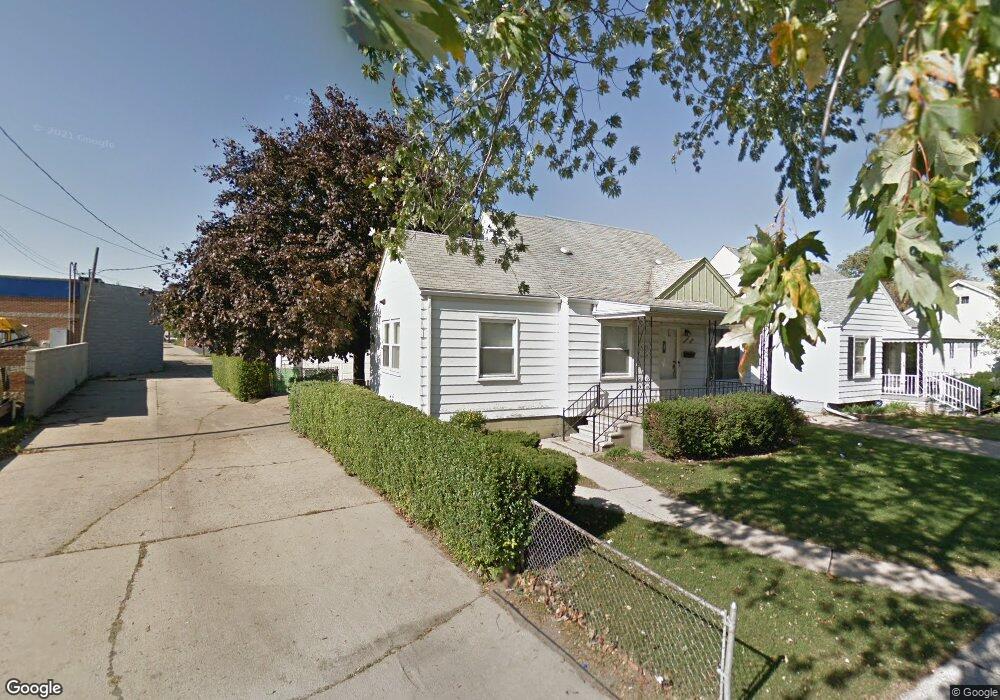
1660 Grant Ave Unit Bldg-Unit Lincoln Park, MI 48146
Estimated Value: $144,000 - $160,386
--
Bed
1
Bath
1,300
Sq Ft
$117/Sq Ft
Est. Value
About This Home
This home is located at 1660 Grant Ave Unit Bldg-Unit, Lincoln Park, MI 48146 and is currently estimated at $152,597, approximately $117 per square foot. 1660 Grant Ave Unit Bldg-Unit is a home located in Wayne County with nearby schools including Raupp Elementary School, Lincoln Park Middle School, and Lincoln Park High School.
Ownership History
Date
Name
Owned For
Owner Type
Purchase Details
Closed on
Nov 30, 2018
Sold by
Porte Andrew R and Webster Shannon K
Bought by
1660 Grant Avenue Llc
Current Estimated Value
Purchase Details
Closed on
Jan 31, 2018
Sold by
Shuler Edward D and Shuler Eric
Bought by
Porte Andrew R
Purchase Details
Closed on
Apr 1, 2013
Sold by
Shuler Edward D and Shuler Eleanore A
Bought by
Shuler Edward D
Create a Home Valuation Report for This Property
The Home Valuation Report is an in-depth analysis detailing your home's value as well as a comparison with similar homes in the area
Home Values in the Area
Average Home Value in this Area
Purchase History
| Date | Buyer | Sale Price | Title Company |
|---|---|---|---|
| 1660 Grant Avenue Llc | -- | None Available | |
| Porte Andrew R | $56,500 | Michigan Title Ins Agency In | |
| Shuler Edward D | -- | None Available |
Source: Public Records
Tax History Compared to Growth
Tax History
| Year | Tax Paid | Tax Assessment Tax Assessment Total Assessment is a certain percentage of the fair market value that is determined by local assessors to be the total taxable value of land and additions on the property. | Land | Improvement |
|---|---|---|---|---|
| 2025 | $2,336 | $74,400 | $0 | $0 |
| 2024 | $2,336 | $69,100 | $0 | $0 |
| 2023 | $2,218 | $57,700 | $0 | $0 |
| 2022 | $2,472 | $48,600 | $0 | $0 |
| 2021 | $2,412 | $42,500 | $0 | $0 |
| 2020 | $2,388 | $38,300 | $0 | $0 |
| 2019 | $2,001 | $32,200 | $0 | $0 |
| 2018 | $1,066 | $26,300 | $0 | $0 |
| 2017 | $793 | $26,200 | $0 | $0 |
| 2016 | $1,394 | $26,200 | $0 | $0 |
| 2015 | $2,570 | $25,700 | $0 | $0 |
| 2013 | $2,740 | $28,700 | $0 | $0 |
| 2012 | $1,703 | $29,500 | $5,800 | $23,700 |
Source: Public Records
Map
Nearby Homes
- 776 Cleophus Pkwy
- 1581 Empire Ave
- 1529 Grant Ave
- 1622 Wilson Ave
- 650 Cleophus Pkwy
- 764 White Ave
- 1673 Ferris Ave
- 880 White Ave
- 637 Park Ave
- 1459 Pingree Ave
- 1375 Wilson Ave
- 1363 Empire Ave
- 881 Garfield Ave
- 1027 Park Ave
- 1554 Austin Ave
- 1473 Austin Ave
- 817 Lincoln Ave
- 1654 Chandler Ave
- 1582 Chandler Ave
- 615 Garfield Ave
- 1660 Grant Ave
- 1658 Grant Ave
- 1626 Grant Ave
- 804 Southfield Rd
- 1659 Washington Ave
- 1663 Washington Ave
- 1653 Washington Ave
- 1622 Grant Ave
- 1627 Washington Ave
- 1651 Grant Ave
- 1621 Washington Ave
- 1643 Grant Ave
- 1606 Grant Ave
- 1625 Grant Ave
- 1611 Washington Ave
- 1617 Grant Ave
- 787 Southfield Rd
- 742 Southfield Rd
- 1664 Washington Ave
- 1607 Washington Ave