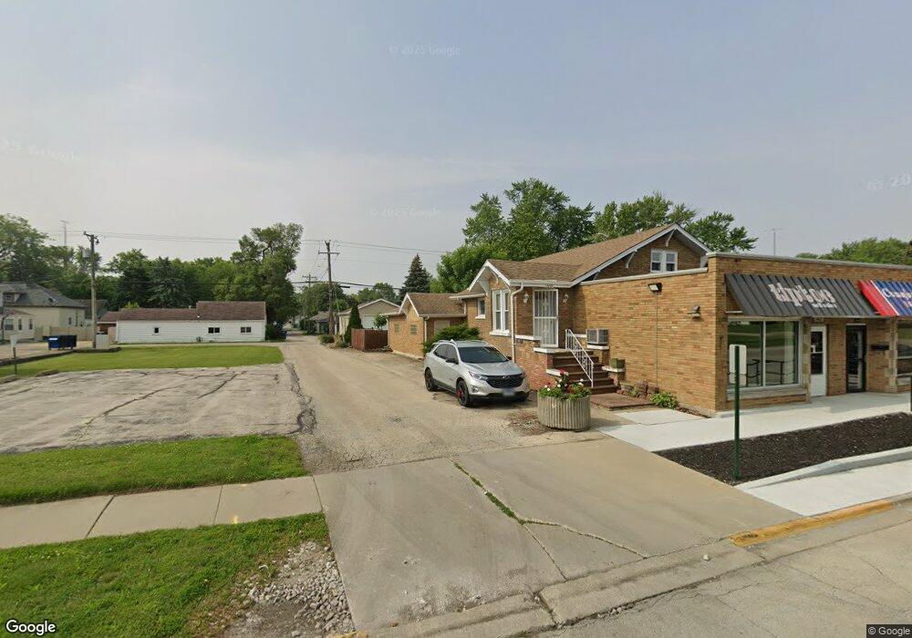
1660 W Station St Kankakee, IL 60901
Estimated Value: $178,949
--
Bed
--
Bath
2,246
Sq Ft
$80/Sq Ft
Est. Value
About This Home
This home is located at 1660 W Station St, Kankakee, IL 60901 and is currently estimated at $178,949, approximately $79 per square foot. 1660 W Station St is a home located in Kankakee County with nearby schools including Kennedy Middle Grade School, Taft Primary School, and Kankakee Junior High School.
Ownership History
Date
Name
Owned For
Owner Type
Purchase Details
Closed on
Aug 27, 2021
Sold by
Hua Tai Ching
Bought by
Crawford David B
Current Estimated Value
Home Financials for this Owner
Home Financials are based on the most recent Mortgage that was taken out on this home.
Original Mortgage
$97,500
Outstanding Balance
$61,623
Interest Rate
2.7%
Mortgage Type
New Conventional
Estimated Equity
$117,326
Purchase Details
Closed on
Apr 6, 2021
Sold by
Tai Donka Shun Hua
Bought by
Tai Ching Hua
Purchase Details
Closed on
Apr 16, 2020
Sold by
Tai Yu-Chen Lee
Bought by
Krone Taro Michael and Tai Ching Hua
Create a Home Valuation Report for This Property
The Home Valuation Report is an in-depth analysis detailing your home's value as well as a comparison with similar homes in the area
Home Values in the Area
Average Home Value in this Area
Purchase History
| Date | Buyer | Sale Price | Title Company |
|---|---|---|---|
| Crawford David B | $130,000 | Kankakee County Title | |
| Tai Ching Hua | -- | -- | |
| Krone Taro Michael | -- | Qu Di |
Source: Public Records
Mortgage History
| Date | Status | Borrower | Loan Amount |
|---|---|---|---|
| Open | Crawford David B | $97,500 |
Source: Public Records
Tax History Compared to Growth
Tax History
| Year | Tax Paid | Tax Assessment Tax Assessment Total Assessment is a certain percentage of the fair market value that is determined by local assessors to be the total taxable value of land and additions on the property. | Land | Improvement |
|---|---|---|---|---|
| 2024 | $3,923 | $33,186 | $4,234 | $28,952 |
| 2023 | $4,243 | $33,186 | $4,234 | $28,952 |
| 2022 | $4,510 | $33,186 | $4,234 | $28,952 |
| 2021 | $4,703 | $33,186 | $4,234 | $28,952 |
| 2020 | $3,976 | $33,186 | $4,234 | $28,952 |
| 2019 | $4,074 | $33,186 | $4,234 | $28,952 |
| 2018 | $4,236 | $33,186 | $4,234 | $28,952 |
| 2017 | $4,851 | $33,186 | $4,234 | $28,952 |
| 2016 | $4,638 | $33,186 | $4,234 | $28,952 |
| 2015 | $4,986 | $36,873 | $4,234 | $32,639 |
| 2014 | $4,355 | $36,873 | $4,234 | $32,639 |
| 2013 | -- | $36,873 | $4,234 | $32,639 |
Source: Public Records
Map
Nearby Homes
- 545 S May Ave
- 455 S Main Ave
- 242 S Fraser Ave
- 1117 W Station St
- 594 S Main Ave
- 420 S Foley Ave
- 1442 W Budd Blvd
- 824 S Mckinley Ave
- 456 S Wall St
- 827 S Mckinley Ave
- 832 S Cheryl Ln
- 842 S Main Ave
- 655 S Wall St
- 1100 W Hawkins St
- 1119 S Curtis Ave Unit F64
- 945 Stone St
- 556 N 10th Ave
- 547 W Bourbonnais St
- 665 N Kennedy Dr
- 957 S 7th Ave
- 1666 W Station St
- 352 S Cannon Ave
- 1610 W Station St
- 325 S Curtis Ave
- 1685 W Station St
- 1625 W Station St
- 349 S Curtis Ave
- 347 1/2 S Curtis Ave
- 347 S Curtis Ave
- 354 S Cannon Ave
- 260 S Cannon Ave Unit 1S
- 260 S Cannon Ave
- 260 S Cannon Ave Unit 2S
- 260 S Cannon Ave Unit 1N
- 357 S Curtis Ave
- 368 S Cannon Ave
- 261 S Curtis Ave
- 1722 W Station St
- 367 S Curtis Ave
- 357 S Cannon Ave