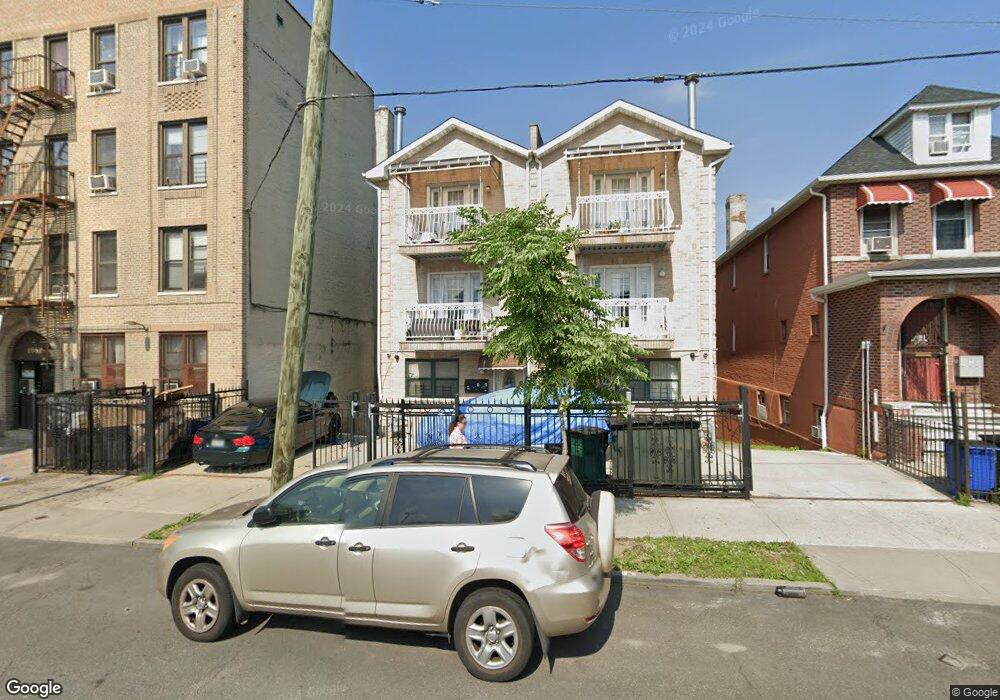
1660 White Plains Rd Bronx, NY 10462
Van Nest NeighborhoodEstimated Value: $794,467 - $1,327,000
--
Bed
--
Bath
3,850
Sq Ft
$252/Sq Ft
Est. Value
About This Home
This home is located at 1660 White Plains Rd, Bronx, NY 10462 and is currently estimated at $969,617, approximately $251 per square foot. 1660 White Plains Rd is a home located in Bronx County with nearby schools including P.S. 083 The Donald Hertz School, Children's Aid College Preparatory Charter School, and Bold Charter School.
Ownership History
Date
Name
Owned For
Owner Type
Purchase Details
Closed on
Nov 1, 2019
Sold by
Boodhoo Basmatie and Boodhoo Hardyal
Bought by
1660 White Plains Road Llc
Current Estimated Value
Purchase Details
Closed on
Apr 30, 2012
Sold by
White Plains Assets Corp
Bought by
Boodhoo Basmatie and Boodhoo Hardyal
Home Financials for this Owner
Home Financials are based on the most recent Mortgage that was taken out on this home.
Original Mortgage
$341,500
Interest Rate
3.88%
Mortgage Type
New Conventional
Create a Home Valuation Report for This Property
The Home Valuation Report is an in-depth analysis detailing your home's value as well as a comparison with similar homes in the area
Home Values in the Area
Average Home Value in this Area
Purchase History
| Date | Buyer | Sale Price | Title Company |
|---|---|---|---|
| 1660 White Plains Road Llc | -- | -- | |
| Boodhoo Basmatie | $500,000 | -- |
Source: Public Records
Mortgage History
| Date | Status | Borrower | Loan Amount |
|---|---|---|---|
| Previous Owner | Boodhoo Basmatie | $341,500 |
Source: Public Records
Tax History Compared to Growth
Tax History
| Year | Tax Paid | Tax Assessment Tax Assessment Total Assessment is a certain percentage of the fair market value that is determined by local assessors to be the total taxable value of land and additions on the property. | Land | Improvement |
|---|---|---|---|---|
| 2025 | $7,809 | $39,571 | $6,270 | $33,301 |
| 2024 | $7,809 | $38,881 | $6,782 | $32,099 |
| 2023 | $7,449 | $36,680 | $6,068 | $30,612 |
| 2022 | $6,908 | $52,080 | $8,100 | $43,980 |
| 2021 | $7,076 | $45,360 | $8,100 | $37,260 |
| 2020 | $6,980 | $38,820 | $8,100 | $30,720 |
| 2019 | $6,778 | $38,820 | $8,100 | $30,720 |
| 2018 | $6,231 | $30,567 | $6,866 | $23,701 |
| 2017 | $5,879 | $28,838 | $7,897 | $20,941 |
| 2016 | $5,601 | $28,020 | $8,100 | $19,920 |
| 2015 | $3,281 | $27,480 | $8,100 | $19,380 |
| 2014 | $3,281 | $27,001 | $8,011 | $18,990 |
Source: Public Records
Map
Nearby Homes
- 1667 Hunt Ave
- 679 van Nest Ave
- 677 van Nest Ave
- 1721 White Plains Rd
- 633 Mead St
- 1731 White Plains Rd
- 591 van Nest Ave
- 1936 E Tremont Ave Unit 5H
- 1938 E Tremont Ave Unit 5C
- 1827 Amethyst St
- 1713 Taylor Ave
- 845 Kinsella St
- 856 van Nest Ave
- 1865 Hunt Ave
- 848 Morris Park Ave
- 1738 Melville St
- 1858 Wallace Ave
- 1622 Van Buren St
- 867 van Nest Ave
- 1501 Metropolitan Ave Unit 6C
- 1658 White Plains Rd
- 1662 White Plains Rd
- 1656 White Plains Rd
- 1654 White Plains Rd
- 1659 Hunt Ave
- 1661 Hunt Ave
- 1653 Hunt Ave
- 1651 Hunt Ave
- 0 Baker Ave
- 1669 Hunt Ave
- 704 van Nest Ave
- 650 Mead St
- 1654 Hunt Ave
- 1656 Hunt Ave
- 1658 Hunt Ave
- 1658 Hunt Ave Unit 2
- 1661 Unionport Rd
- 648 Mead St
- 1660 Hunt Ave
- 1657 Unionport Rd