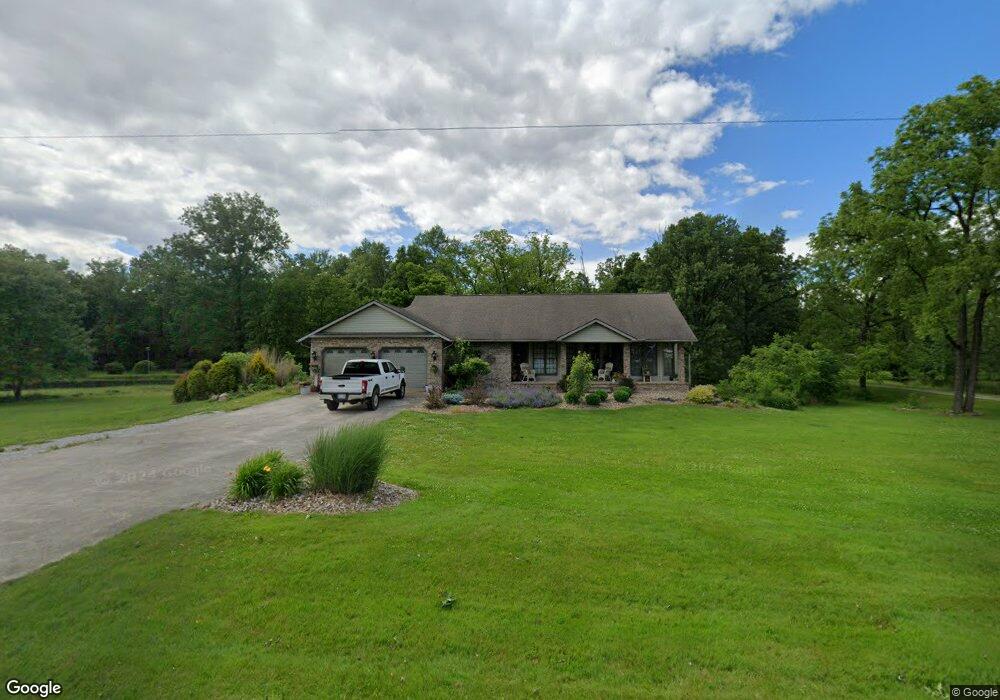
1660 Wyandot Rd Bucyrus, OH 44820
Estimated Value: $295,000 - $361,000
2
Beds
2
Baths
2,472
Sq Ft
$135/Sq Ft
Est. Value
About This Home
This home is located at 1660 Wyandot Rd, Bucyrus, OH 44820 and is currently estimated at $334,155, approximately $135 per square foot. 1660 Wyandot Rd is a home located in Crawford County with nearby schools including Wynford Elementary School, Wynford High School, and Wayside Christian School.
Ownership History
Date
Name
Owned For
Owner Type
Purchase Details
Closed on
Apr 6, 2018
Sold by
United Bank Division Of The Park Nationa
Bought by
Williams Deborah
Current Estimated Value
Home Financials for this Owner
Home Financials are based on the most recent Mortgage that was taken out on this home.
Original Mortgage
$132,000
Outstanding Balance
$113,412
Interest Rate
4.4%
Mortgage Type
New Conventional
Estimated Equity
$220,743
Purchase Details
Closed on
Feb 7, 2014
Sold by
Tuttle Sharon K
Bought by
Tuttle Terry L
Home Financials for this Owner
Home Financials are based on the most recent Mortgage that was taken out on this home.
Original Mortgage
$30,000
Interest Rate
4.55%
Mortgage Type
Future Advance Clause Open End Mortgage
Purchase Details
Closed on
Oct 14, 2002
Bought by
Tuttle Terry L
Create a Home Valuation Report for This Property
The Home Valuation Report is an in-depth analysis detailing your home's value as well as a comparison with similar homes in the area
Home Values in the Area
Average Home Value in this Area
Purchase History
| Date | Buyer | Sale Price | Title Company |
|---|---|---|---|
| Williams Deborah | $165,000 | Acs Title | |
| Tuttle Terry L | -- | Acs Title Bucyrus | |
| Tuttle Terry L | -- | -- |
Source: Public Records
Mortgage History
| Date | Status | Borrower | Loan Amount |
|---|---|---|---|
| Open | Williams Deborah | $132,000 | |
| Previous Owner | Tuttle Terry L | $30,000 | |
| Previous Owner | Tuttle Terry L | $51,800 |
Source: Public Records
Tax History Compared to Growth
Tax History
| Year | Tax Paid | Tax Assessment Tax Assessment Total Assessment is a certain percentage of the fair market value that is determined by local assessors to be the total taxable value of land and additions on the property. | Land | Improvement |
|---|---|---|---|---|
| 2024 | $3,125 | $93,930 | $13,930 | $80,000 |
| 2023 | $3,145 | $77,410 | $8,970 | $68,440 |
| 2022 | $3,546 | $77,410 | $8,970 | $68,440 |
| 2021 | $3,803 | $77,410 | $8,970 | $68,440 |
| 2020 | $2,719 | $59,580 | $8,970 | $50,610 |
| 2019 | $2,777 | $59,580 | $8,970 | $50,610 |
| 2018 | $2,842 | $59,580 | $8,970 | $50,610 |
| 2017 | $2,323 | $50,460 | $8,970 | $41,490 |
| 2016 | $1,932 | $50,460 | $8,970 | $41,490 |
| 2015 | $1,965 | $50,460 | $8,970 | $41,490 |
| 2014 | $2,267 | $53,590 | $8,970 | $44,620 |
| 2013 | $2,267 | $53,590 | $8,970 | $44,620 |
Source: Public Records
Map
Nearby Homes
- 2440 Wyandot Rd
- 1123 Hillcrest Dr
- 2273 Kerstetter Rd
- 275 Brentwood St
- 130 Brentwood St
- 1112 Hillcrest Dr
- 1149 Farmview Dr
- 1315 Lynne Ave
- 0 Lynne Ave
- 1145 Lynne Ave
- 3056 Mccracken Rd
- 452 Pleasant Ln
- 1773 Marion-Melmore Rd
- 1211 S Sandusky Ave
- 182 Williams St
- 900 S Spring St
- 1021 S Sandusky Ave
- 325 W Liberty St
- 1665 Lincoln Hwy
- 318 Charlotte St
- 1636 Wyandot Rd
- 1665 Wyandot Rd
- 1620 Wyandot Rd
- 1723 Wyandot Rd
- 1600 Wyandot Rd
- 1601 Wyandot Rd
- 1580 Wyandot Rd
- 1567 Wyandot Rd
- 1610 Mount Zion Rd
- 1761 Wyandot Rd
- 1523 Wyandot Rd
- 1496 Mount Zion Rd
- 1489 Wyandot Rd
- 1476 Wyandot Rd
- 1466 Wyandot Rd
- 1723 Denzer Rd
- 1723 Denzer Rd
- 1433 Mount Zion Rd
- 1480 Wyandot Rd
- 1417 Mount Zion Rd