16600 S 1025 Rd Stockton, MO 65785
Estimated Value: $136,000 - $410,040
--
Bed
--
Bath
2,635
Sq Ft
$96/Sq Ft
Est. Value
About This Home
This home is located at 16600 S 1025 Rd, Stockton, MO 65785 and is currently estimated at $253,680, approximately $96 per square foot. 16600 S 1025 Rd is a home with nearby schools including Stockton Elementary School, Stockton Middle School, and Stockton High School.
Ownership History
Date
Name
Owned For
Owner Type
Purchase Details
Closed on
Aug 4, 2015
Sold by
Rutledge Gus and Rutledge Patsy
Bought by
Rutledge Gus and Rutledge Patsy
Current Estimated Value
Purchase Details
Closed on
Sep 15, 2008
Sold by
Fent Kenneth and Fent Amy
Bought by
Rutledge Gus S and Rutledge Patsy C
Home Financials for this Owner
Home Financials are based on the most recent Mortgage that was taken out on this home.
Original Mortgage
$23,000
Interest Rate
6.54%
Mortgage Type
Unknown
Create a Home Valuation Report for This Property
The Home Valuation Report is an in-depth analysis detailing your home's value as well as a comparison with similar homes in the area
Home Values in the Area
Average Home Value in this Area
Purchase History
| Date | Buyer | Sale Price | Title Company |
|---|---|---|---|
| Rutledge Gus | -- | None Available | |
| Rutledge Gus S | -- | None Available |
Source: Public Records
Mortgage History
| Date | Status | Borrower | Loan Amount |
|---|---|---|---|
| Previous Owner | Rutledge Gus S | $23,000 |
Source: Public Records
Tax History Compared to Growth
Tax History
| Year | Tax Paid | Tax Assessment Tax Assessment Total Assessment is a certain percentage of the fair market value that is determined by local assessors to be the total taxable value of land and additions on the property. | Land | Improvement |
|---|---|---|---|---|
| 2025 | $1,026 | $23,500 | $2,590 | $20,910 |
| 2024 | $1,026 | $20,720 | $2,500 | $18,220 |
| 2023 | $1,024 | $20,720 | $0 | $0 |
| 2022 | $1,024 | $20,720 | $0 | $0 |
| 2021 | $994 | $20,720 | $0 | $0 |
| 2020 | $994 | $20,030 | $0 | $0 |
| 2019 | $1,274 | $26,310 | $0 | $0 |
| 2018 | $1,278 | $26,520 | $0 | $0 |
| 2017 | -- | $26,520 | $0 | $0 |
| 2016 | -- | $26,520 | $0 | $0 |
| 2015 | -- | $26,520 | $0 | $0 |
| 2014 | -- | $26,370 | $0 | $0 |
| 2013 | -- | $26,370 | $0 | $0 |
Source: Public Records
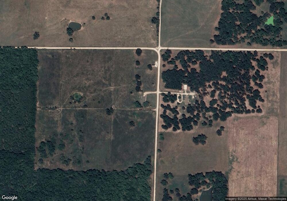
Map
Nearby Homes
- 9990 E 1650 Rd
- 16860 S 1135 Rd
- 19525 S 975 Rd
- 18420 S 975 Rd
- 004 Gum Springs Dr
- 11861 E 1350 Rd
- 8400 E 1320 Rd
- 0 S 725 Rd Unit HMS2577634
- 003 E 1400 Rd
- 11998 State Hwy 32
- 11998 E Highway 32
- 000 S 1457 Rd
- TBD S 725 Rd
- 14500 E 1450 Rd
- 14562 S 1453 Rd
- 0004 S 1453 Road Tract A
- 0004 South S 1453 Rd
- 0004 #B S 1453 Rd
- 0004 #A S 1453 Rd
- 0004 S 1453 Rd
- 1650 E Rd Rd
- 16605 S 1025 Rd
- 0 1025 1700 Unit 60073219
- 16325 S 975 Rd
- 0 County Road 1025 1700 Unit 60023584
- 0 County Road 1025 1700 Unit 60023591
- 0 County Road 1025 1700 Unit 60039264
- 0 County Road 1025 1700 Unit 60039256
- 0 County Road 1025 1700 Unit 60073220
- 16145 S 975 Rd
- 0 975 Rd
- 15999 S 975 Rd
- 9190 E 1674 Rd
- 0 1674 Rd Unit 60123899
- 10500 E Highway Z
- 10820 E 1700 Rd
- 10286 E Highway Z
- 16360 S 1075 Rd