16600 S Highway O Jerico Springs, MO 64756
Estimated Value: $256,000 - $384,805
--
Bed
--
Bath
1,404
Sq Ft
$216/Sq Ft
Est. Value
About This Home
This home is located at 16600 S Highway O, Jerico Springs, MO 64756 and is currently estimated at $302,935, approximately $215 per square foot. 16600 S Highway O is a home with nearby schools including Stockton Elementary School, Stockton Middle School, and Stockton High School.
Ownership History
Date
Name
Owned For
Owner Type
Purchase Details
Closed on
May 15, 2023
Sold by
Carol K Stubock Revocable Trust
Bought by
Schwartz Petie Pl and Schwartz Veronica Cf
Current Estimated Value
Purchase Details
Closed on
Jun 30, 2015
Sold by
Baunack Guenther A and Baunack Jan E
Bought by
Schwartz Fannie J and Schwartz Chris K
Home Financials for this Owner
Home Financials are based on the most recent Mortgage that was taken out on this home.
Original Mortgage
$200,000
Interest Rate
3.9%
Mortgage Type
Future Advance Clause Open End Mortgage
Create a Home Valuation Report for This Property
The Home Valuation Report is an in-depth analysis detailing your home's value as well as a comparison with similar homes in the area
Home Values in the Area
Average Home Value in this Area
Purchase History
| Date | Buyer | Sale Price | Title Company |
|---|---|---|---|
| Schwartz Petie Pl | -- | None Listed On Document | |
| Schwartz Fannie J | -- | None Available |
Source: Public Records
Mortgage History
| Date | Status | Borrower | Loan Amount |
|---|---|---|---|
| Previous Owner | Schwartz Fannie J | $200,000 |
Source: Public Records
Tax History Compared to Growth
Tax History
| Year | Tax Paid | Tax Assessment Tax Assessment Total Assessment is a certain percentage of the fair market value that is determined by local assessors to be the total taxable value of land and additions on the property. | Land | Improvement |
|---|---|---|---|---|
| 2025 | $862 | $22,000 | $2,250 | $19,750 |
| 2024 | $862 | $19,580 | $2,160 | $17,420 |
| 2023 | $897 | $19,570 | $0 | $0 |
| 2022 | $897 | $20,400 | $0 | $0 |
| 2021 | $864 | $20,400 | $0 | $0 |
| 2020 | $864 | $19,610 | $0 | $0 |
| 2019 | $840 | $19,610 | $0 | $0 |
| 2018 | $841 | $19,730 | $0 | $0 |
| 2017 | -- | $19,730 | $0 | $0 |
| 2016 | -- | $19,730 | $0 | $0 |
| 2015 | -- | $19,730 | $0 | $0 |
| 2014 | -- | $19,650 | $0 | $0 |
| 2013 | -- | $19,650 | $0 | $0 |
Source: Public Records
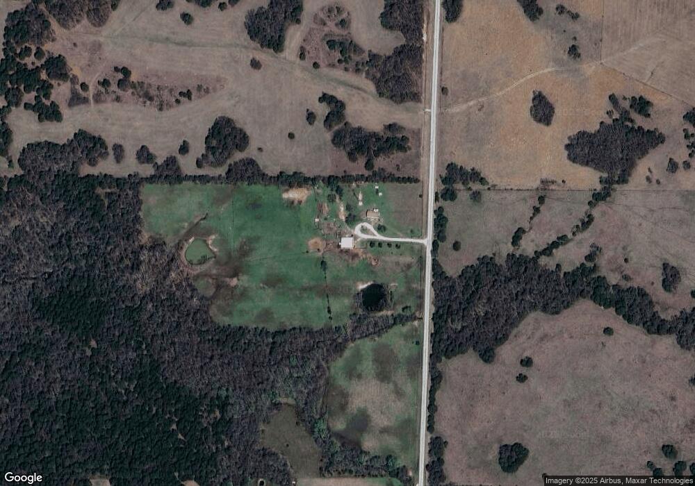
Map
Nearby Homes
- Tbd S 525 Rd
- S 525 Rd
- 18905 S Highway 97
- 0 S 725 Rd Unit HMS2577634
- 000 E 1320 Rd
- TBD S 725 Rd
- 8400 E 1320 Rd
- 19525 S 975 Rd
- 21649 S 525 Rd
- 18420 S 975 Rd
- 21395 S 725 Rd
- 2140 E 2100 Rd
- 000 E 1320 Rd
- 6745 E Highway Cc
- 10900 S 351 Rd
- 16860 S 1135 Rd
- 21395 725 Rd
- 4395 E 1000 Rd
- 4489 E 1000 Rd
- 0 S 2925 Rd