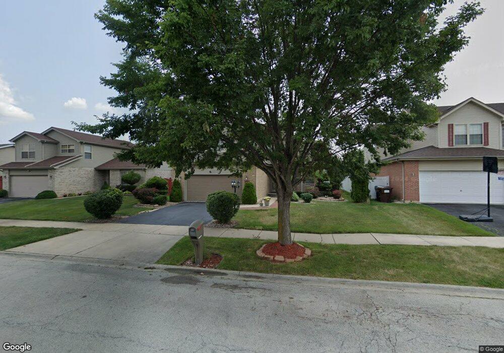
16601 Lockridge Ave Oak Forest, IL 60452
Estimated Value: $390,000 - $457,000
4
Beds
3
Baths
2,696
Sq Ft
$157/Sq Ft
Est. Value
About This Home
This home is located at 16601 Lockridge Ave, Oak Forest, IL 60452 and is currently estimated at $423,355, approximately $157 per square foot. 16601 Lockridge Ave is a home located in Cook County with nearby schools including Kimberly Heights Elementary School, Scarlet Oak Elementary School, and Arbor Park Middle School.
Ownership History
Date
Name
Owned For
Owner Type
Purchase Details
Closed on
May 23, 2000
Sold by
Bridgeview Bank & Trust
Bought by
Mcfalls Allan D
Current Estimated Value
Home Financials for this Owner
Home Financials are based on the most recent Mortgage that was taken out on this home.
Original Mortgage
$150,800
Outstanding Balance
$52,247
Interest Rate
8.18%
Estimated Equity
$371,108
Purchase Details
Closed on
Feb 3, 2000
Sold by
First National Bank Of Blue Island
Bought by
Bridgeview Bank & Trust and Trust #1-2712
Create a Home Valuation Report for This Property
The Home Valuation Report is an in-depth analysis detailing your home's value as well as a comparison with similar homes in the area
Home Values in the Area
Average Home Value in this Area
Purchase History
| Date | Buyer | Sale Price | Title Company |
|---|---|---|---|
| Mcfalls Allan D | $195,000 | -- | |
| Bridgeview Bank & Trust | $39,000 | -- |
Source: Public Records
Mortgage History
| Date | Status | Borrower | Loan Amount |
|---|---|---|---|
| Open | Mcfalls Allan D | $150,800 |
Source: Public Records
Tax History Compared to Growth
Tax History
| Year | Tax Paid | Tax Assessment Tax Assessment Total Assessment is a certain percentage of the fair market value that is determined by local assessors to be the total taxable value of land and additions on the property. | Land | Improvement |
|---|---|---|---|---|
| 2024 | $10,861 | $36,000 | $3,960 | $32,040 |
| 2023 | $8,154 | $36,000 | $3,960 | $32,040 |
| 2022 | $8,154 | $23,661 | $3,420 | $20,241 |
| 2021 | $9,237 | $23,660 | $3,420 | $20,240 |
| 2020 | $9,005 | $23,660 | $3,420 | $20,240 |
| 2019 | $9,487 | $24,573 | $3,060 | $21,513 |
| 2018 | $9,276 | $24,573 | $3,060 | $21,513 |
| 2017 | $9,260 | $24,573 | $3,060 | $21,513 |
| 2016 | $7,922 | $19,954 | $2,700 | $17,254 |
| 2015 | $7,640 | $19,954 | $2,700 | $17,254 |
| 2014 | $7,474 | $19,954 | $2,700 | $17,254 |
| 2013 | $7,936 | $23,349 | $2,700 | $20,649 |
Source: Public Records
Map
Nearby Homes
- 16465 Roy St
- 4401 Adele Ln
- 16453 Harold St
- 16520 Brenden Ln
- 16524 Brockton Ln
- 16409 Craig Dr
- 4348 Mann St
- 16740 Forest Ave
- 4363 Henry St
- 4316 Mann St
- 4230 Barry Ln
- 16224 S Cicero Ave
- 16934 Cicero Ave
- 16938 Cicero Ave
- 5112 Deerpath Rd Unit 4
- 16104 Oak Ave
- 5103 Elmwood Rd
- 5185 Greentree Rd
- 5256 169th Place
- 15240 S Cicero Ave
- 16561 Lockridge Ave
- 16611 Lockridge Ave
- 16536 Terry Ct
- 16551 Lockridge Ave
- 16621 Lockridge Ave
- 16534 Terry Ct
- 16538 Terry Ct
- 16541 Lockridge Ave
- 16631 Lockridge Ave
- 16600 Lockridge Ave
- 16560 Lockridge Ave
- 16610 Lockridge Ave
- 16528 George Dr
- 16532 Terry Ct
- 16531 Lockridge Ave
- 16539 Terry Ct
- 16641 Lockridge Ave
- 4611 Milford Ave
- 4620 Milford Ave
