Estimated Value: $84,000 - $127,000
3
Beds
2
Baths
1,320
Sq Ft
$86/Sq Ft
Est. Value
About This Home
This home is located at 16603 Us Highway 271, Spiro, OK 74959 and is currently estimated at $113,030, approximately $85 per square foot. 16603 Us Highway 271 is a home located in Le Flore County with nearby schools including Spiro Elementary School, Spiro Middle School, and Spiro High School.
Ownership History
Date
Name
Owned For
Owner Type
Purchase Details
Closed on
Mar 5, 2024
Sold by
Phillips Vernon O
Bought by
Phillips Vernon O
Current Estimated Value
Purchase Details
Closed on
Feb 20, 2024
Sold by
Phillips Vernon O
Bought by
Phillips Vernon O
Purchase Details
Closed on
May 13, 2022
Sold by
Phillip Vernon O
Bought by
Phillips Vernon O
Purchase Details
Closed on
May 3, 2019
Sold by
Johnson Gary
Bought by
Johnson Ernest J and Phillips Vernon
Purchase Details
Closed on
May 3, 2013
Sold by
Johnson Earnest J
Bought by
Johnson Earnest J and Phillips Vernon
Create a Home Valuation Report for This Property
The Home Valuation Report is an in-depth analysis detailing your home's value as well as a comparison with similar homes in the area
Home Values in the Area
Average Home Value in this Area
Purchase History
| Date | Buyer | Sale Price | Title Company |
|---|---|---|---|
| Phillips Vernon O | -- | None Listed On Document | |
| Phillips Vernon O | $2,000 | None Listed On Document | |
| Phillips Vernon O | -- | None Listed On Document | |
| Johnson Ernest J | -- | None Available | |
| Johnson Earnest J | -- | None Available |
Source: Public Records
Tax History Compared to Growth
Tax History
| Year | Tax Paid | Tax Assessment Tax Assessment Total Assessment is a certain percentage of the fair market value that is determined by local assessors to be the total taxable value of land and additions on the property. | Land | Improvement |
|---|---|---|---|---|
| 2025 | $342 | $5,150 | $809 | $4,341 |
| 2024 | $342 | $3,822 | $770 | $3,052 |
| 2023 | $342 | $8,726 | $770 | $7,956 |
| 2022 | $719 | $8,568 | $770 | $7,798 |
| 2021 | $566 | $8,319 | $770 | $7,549 |
| 2020 | $538 | $8,076 | $770 | $7,306 |
| 2019 | $545 | $7,841 | $770 | $7,071 |
| 2018 | $524 | $7,614 | $770 | $6,844 |
| 2017 | $515 | $7,392 | $770 | $6,622 |
| 2016 | $608 | $8,478 | $770 | $7,708 |
| 2015 | $569 | $8,594 | $770 | $7,824 |
| 2014 | $576 | $8,609 | $756 | $7,853 |
Source: Public Records
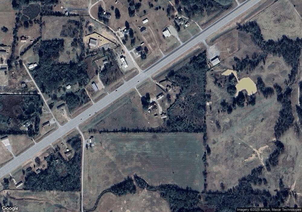
Map
Nearby Homes
- TBD Cowshed Crossing Rd
- 0 Cowshed Crossing Rd
- 17172 Hamilton Cir
- 17845 Cardinal Ln
- 17953 Old Pocola Hwy
- 18825 Leflore Dr
- 1207 Karl St
- Tbd Deaton Dr
- 2300 Barnes St
- TBD Hall Ln
- 15663 Central St
- 904 Gregory Ave
- 601 Howard St
- 405 W Pryor Ave
- 3204 W George Ave
- 105 Elm
- 201 N Pocola Blvd Unit 2
- 105 B St
- 107 Hannah Ln
- 112 Countryside Way
- 16749 Us Hwy 271
- 17728 Oriole Ln
- 16702 Us Highway 271
- 17816 Whitfield Ln
- 89 Rr 1
- 16763 Us Highway 271
- 16490 Us Highway 271
- 17670 Oriole Ln
- 16826 Us Highway 271
- 16845 Us Highway 271
- 17080 Whitfield Lane Spiro Loop
- 17670 Smokey Loop
- 16383 Larry Ln
- 17805 Smokey Loop
- 17833 Smokey Loop
- 17834 Rogers Ln
- 16377 Larry Ln
- 16685 Larry Ln
- 17702 Rogers Ln
- 16568 Larry Ln