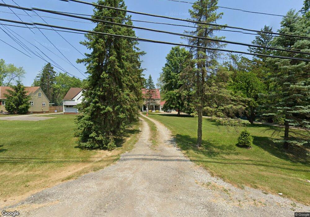
16604 Whitney Rd Strongsville, OH 44136
Estimated Value: $238,541 - $290,000
4
Beds
1
Bath
1,632
Sq Ft
$167/Sq Ft
Est. Value
About This Home
This home is located at 16604 Whitney Rd, Strongsville, OH 44136 and is currently estimated at $272,635, approximately $167 per square foot. 16604 Whitney Rd is a home located in Cuyahoga County with nearby schools including Strongsville High School, Sts Joseph & John Interparochial School, and The Academy of St. Bartholomew.
Ownership History
Date
Name
Owned For
Owner Type
Purchase Details
Closed on
May 2, 1989
Sold by
Stockwell Daniel R
Bought by
Asmondy William Robert
Current Estimated Value
Purchase Details
Closed on
Mar 28, 1985
Sold by
Stockwell Daniel R and Stockwell Eileen
Bought by
Stockwell Daniel R
Purchase Details
Closed on
Jan 1, 1975
Bought by
Stockwell Daniel R and Stockwell Eileen
Create a Home Valuation Report for This Property
The Home Valuation Report is an in-depth analysis detailing your home's value as well as a comparison with similar homes in the area
Home Values in the Area
Average Home Value in this Area
Purchase History
| Date | Buyer | Sale Price | Title Company |
|---|---|---|---|
| Asmondy William Robert | $86,000 | -- | |
| Stockwell Daniel R | -- | -- | |
| Stockwell Daniel R | -- | -- |
Source: Public Records
Tax History Compared to Growth
Tax History
| Year | Tax Paid | Tax Assessment Tax Assessment Total Assessment is a certain percentage of the fair market value that is determined by local assessors to be the total taxable value of land and additions on the property. | Land | Improvement |
|---|---|---|---|---|
| 2024 | $2,817 | $59,500 | $40,985 | $18,515 |
| 2023 | $2,991 | $47,500 | $20,160 | $27,340 |
| 2022 | $2,970 | $47,500 | $20,160 | $27,340 |
| 2021 | $2,947 | $47,500 | $20,160 | $27,340 |
| 2020 | $2,798 | $39,900 | $16,940 | $22,960 |
| 2019 | $2,717 | $114,000 | $48,400 | $65,600 |
| 2018 | $2,228 | $39,900 | $16,940 | $22,960 |
| 2017 | $2,443 | $36,610 | $13,300 | $23,310 |
| 2016 | $2,423 | $36,610 | $13,300 | $23,310 |
| 2015 | $2,388 | $36,610 | $13,300 | $23,310 |
| 2014 | $2,388 | $35,570 | $12,920 | $22,650 |
Source: Public Records
Map
Nearby Homes
- 9129 Tahoe Cir
- 9945 Twelve Oaks Cir
- 10369 Council Bluff
- 18203 Broxton Dr
- 9890 Webster Rd
- 18433 Whitney Rd
- 10010 Chevy Chase
- 18737 Evergreen Dr
- 16519 Albion Rd
- 15485 Albion Rd
- 9531 Nicole Cir
- 0 Webster Rd
- 7685 Saratoga Rd
- 14015 Byron Blvd
- 7475 Lanier Dr
- 13976 W Sprague Rd
- 16347 Craigmere Dr
- 11650 River Moss Rd
- 16691 Craigmere Dr
- Buchanan Plan at The Enclave at Pine Lakes Crossing
- 16640 Whitney Rd
- 16554 Whitney Rd
- 16700 Whitney Rd
- 16748 Whitney Rd
- 16462 Whitney Rd
- 16605 Whitney Rd
- 16555 Whitney Rd
- 16651 Whitney Rd
- V/L V/L Whitney Rd
- 0 Whitney Rd
- 16749 Whitney Rd
- 16467 Whitney Rd
- 16364 Whitney Rd
- 16459 Whitney Rd
- 16606 Lake Circle Dr
- 16610 Lake Circle Dr
- 16560 Lake Circle Dr
- 16642 Lake Circle Dr
- 16646 Lake Circle Dr
- 16409 Whitney Rd