Estimated Value: $269,774 - $273,000
4
Beds
1
Bath
2,206
Sq Ft
$123/Sq Ft
Est. Value
About This Home
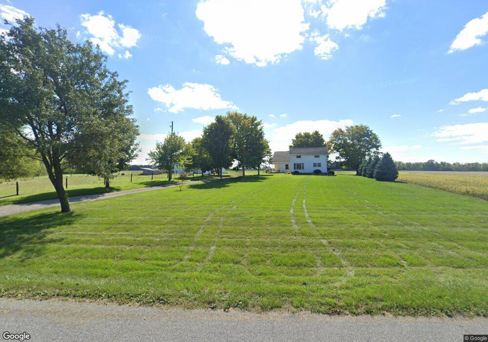
This home is located at 1661 Beery Rd, Lima, OH 45807 and is currently estimated at $271,444, approximately $123 per square foot. 1661 Beery Rd is a home located in Allen County with nearby schools including Elida Elementary School, Elida Middle School, and Elida High School.
Ownership History
Date
Name
Owned For
Owner Type
Purchase Details
Closed on
Dec 23, 2020
Bought by
Robert E Miller
Current Estimated Value
Purchase Details
Closed on
Dec 5, 2018
Sold by
Miller Robert E and Miller Marcia L
Bought by
Bgmr Llc
Purchase Details
Closed on
Jul 1, 1996
Sold by
Calvin Cook Trst
Bought by
Miller Gabriel
Home Financials for this Owner
Home Financials are based on the most recent Mortgage that was taken out on this home.
Original Mortgage
$67,500
Interest Rate
9.13%
Mortgage Type
New Conventional
Create a Home Valuation Report for This Property
The Home Valuation Report is an in-depth analysis detailing your home's value as well as a comparison with similar homes in the area
Purchase History
| Date | Buyer | Sale Price | Title Company |
|---|---|---|---|
| Robert E Miller | -- | -- | |
| Bgmr Llc | -- | None Available | |
| Miller Robert E | -- | None Available | |
| Miller Gabriel | $90,000 | -- |
Source: Public Records
Mortgage History
| Date | Status | Borrower | Loan Amount |
|---|---|---|---|
| Previous Owner | Miller Gabriel | $67,500 |
Source: Public Records
Tax History
| Year | Tax Paid | Tax Assessment Tax Assessment Total Assessment is a certain percentage of the fair market value that is determined by local assessors to be the total taxable value of land and additions on the property. | Land | Improvement |
|---|---|---|---|---|
| 2024 | $3,567 | $84,880 | $26,180 | $58,700 |
| 2023 | $2,887 | $61,500 | $18,970 | $42,530 |
| 2022 | $2,944 | $61,710 | $18,760 | $42,950 |
| 2021 | $2,959 | $61,710 | $18,760 | $42,950 |
| 2020 | $2,706 | $53,410 | $18,200 | $35,210 |
| 2019 | $2,706 | $49,910 | $14,700 | $35,210 |
| 2018 | $2,731 | $49,910 | $14,700 | $35,210 |
| 2017 | $2,400 | $45,160 | $14,530 | $30,630 |
| 2016 | $2,397 | $45,160 | $14,530 | $30,630 |
| 2015 | $2,077 | $45,160 | $14,530 | $30,630 |
| 2014 | $2,077 | $37,600 | $14,670 | $22,930 |
| 2013 | $1,875 | $37,600 | $14,670 | $22,930 |
Source: Public Records
Map
Nearby Homes
- 0 Fraunfelter Unit 307817
- 0 N Eastown Rd Unit 1034495
- 0 Thorndyke Dr
- 3137 Thorndyke Dr
- 2718 Carolyn Dr
- 1743 Sherry Lee Dr
- 2630 Carolyn Dr
- 4387 N West St
- 520 Kenmore St
- 2371 Mandolin Dr
- 2380 Mandolin Dr
- 475 Kenmore St
- 1143 Brower Rd
- 2300 Mandolin Dr
- 1014 Brower Rd
- 2113 Kimberly Dr
- 2129 Reinell Ave
- 2275 N Cable Rd Unit 178
- 2275 N Cable Rd Unit 130
- 2275 N Cable Rd Unit 43 Unit Package
Your Personal Tour Guide
Ask me questions while you tour the home.