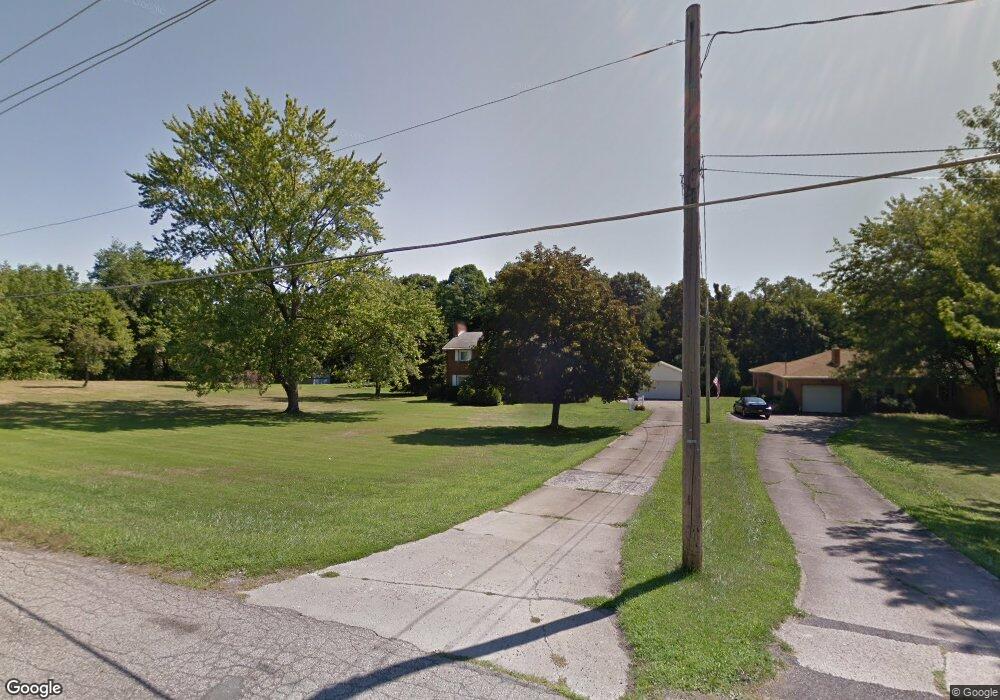
1661 Hubbard Thomas Rd Hubbard, OH 44425
Estimated Value: $218,168 - $305,000
3
Beds
2
Baths
2,169
Sq Ft
$127/Sq Ft
Est. Value
About This Home
This home is located at 1661 Hubbard Thomas Rd, Hubbard, OH 44425 and is currently estimated at $275,542, approximately $127 per square foot. 1661 Hubbard Thomas Rd is a home located in Trumbull County with nearby schools including Hubbard Elementary School, Hubbard Middle School, and Hubbard High School.
Ownership History
Date
Name
Owned For
Owner Type
Purchase Details
Closed on
Aug 13, 2018
Sold by
Helmbrecht Grace O and Helmbrecht Grace
Bought by
Getts Todd E and Getts Lora L
Current Estimated Value
Purchase Details
Closed on
Nov 14, 2002
Sold by
Helmbrecht Grace and Helmbrecht William
Bought by
Helmbrecht Grace
Purchase Details
Closed on
Jan 4, 1994
Sold by
Helmbrecht Grace
Bought by
Grace Helmbrecht J and Grace S
Purchase Details
Closed on
Jan 1, 1990
Bought by
Grace Helmbrecht
Create a Home Valuation Report for This Property
The Home Valuation Report is an in-depth analysis detailing your home's value as well as a comparison with similar homes in the area
Home Values in the Area
Average Home Value in this Area
Purchase History
| Date | Buyer | Sale Price | Title Company |
|---|---|---|---|
| Getts Todd E | $149,900 | American Land Title Agency I | |
| Helmbrecht Grace | -- | Chicago Title Agency Of Trum | |
| Grace Helmbrecht J | -- | -- | |
| Grace Helmbrecht | -- | -- |
Source: Public Records
Tax History Compared to Growth
Tax History
| Year | Tax Paid | Tax Assessment Tax Assessment Total Assessment is a certain percentage of the fair market value that is determined by local assessors to be the total taxable value of land and additions on the property. | Land | Improvement |
|---|---|---|---|---|
| 2024 | $1,288 | $62,340 | $9,310 | $53,030 |
| 2023 | $3,768 | $62,340 | $9,310 | $53,030 |
| 2022 | $3,224 | $47,010 | $8,650 | $38,360 |
| 2021 | $3,442 | $50,230 | $8,650 | $41,580 |
| 2020 | $3,525 | $50,230 | $8,650 | $41,580 |
| 2019 | $3,064 | $44,180 | $8,020 | $36,160 |
| 2018 | $2,335 | $44,180 | $8,020 | $36,160 |
| 2017 | $2,328 | $44,180 | $8,020 | $36,160 |
| 2016 | $2,305 | $45,540 | $8,020 | $37,520 |
| 2015 | $2,313 | $45,540 | $8,020 | $37,520 |
| 2014 | $2,268 | $45,540 | $8,020 | $37,520 |
| 2013 | $2,264 | $45,540 | $8,020 | $37,520 |
Source: Public Records
Map
Nearby Homes
- 6976 White Oak Dr
- 1354 Stevenson Rd
- 1952 Hubbard Masury Rd
- 7182 Stewart Sharon Rd
- 7440 Stewart Sharon Rd
- 6855 Stewart Sharon Rd
- 928 Bedford Rd
- 887 State Route 7 SE
- 132 Drummond Ave
- 742 Dresden Dr
- 138 Moore St
- 1034 Doris Dr
- 7086 Warren Sharon Rd
- 381 Lauretta Ln
- 766 S Irvine Ave
- 430 E Park Ave
- 351 Elmwood Dr
- 545 & 625 Davis St
- 691 S Irvine Ave
- 312 W Park Ave
- 1661 Thomas Rd
- 1669 Hubbard Thomas Rd
- 0 Thomas Hubbard Rd
- 1610 Hubbard Thomas
- 1695 Hubbard Thomas Rd
- 7238 Pine Grove Dr
- 7226 Pine Grove Dr
- 1607 Hubbard Thomas Rd
- 7220 Pine Grove Dr
- 1577 Hubbard Thomas Rd
- 7208 Pine Grove Dr
- 7215 Pine Grove Dr
- 1555 Hubbard Thomas Rd
- 7187 Pine Grove Dr
- 7194 Pine Grove Dr
- 7182 Pine Grove Dr
- 1731 Cherry Ln
- 7169 Pine Grove Dr
- 7305 Chestnut Ridge Rd
- 1741 Cherry Ln