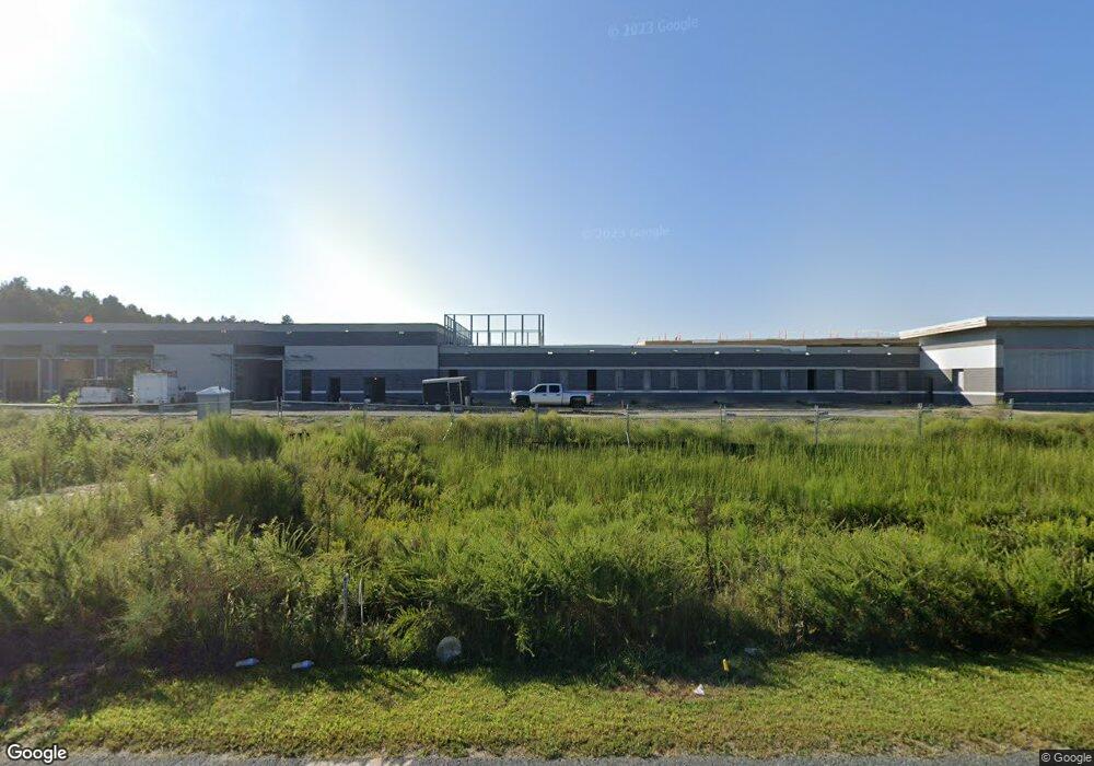
1661 West Rd Salisbury, MD 21801
North Salisbury NeighborhoodEstimated Value: $1,014,545
--
Bed
--
Bath
40,690
Sq Ft
$25/Sq Ft
Est. Value
About This Home
This home is located at 1661 West Rd, Salisbury, MD 21801 and is currently priced at $1,014,545, approximately $24 per square foot. 1661 West Rd is a home located in Wicomico County with nearby schools including West Salisbury Elementary School, North Salisbury Elementary School, and Salisbury Middle School.
Ownership History
Date
Name
Owned For
Owner Type
Purchase Details
Closed on
Nov 1, 2018
Sold by
Westwood Development Llc
Bought by
Wicomino County
Current Estimated Value
Purchase Details
Closed on
Feb 2, 2010
Sold by
Stock Building Supply Inc
Bought by
Westwood Development Llc
Purchase Details
Closed on
Sep 22, 2006
Sold by
Westwood Development Llc
Bought by
Stock Building Supply Inc
Purchase Details
Closed on
Aug 1, 2006
Sold by
Westwood Development Llc
Bought by
Stock Building Supply Inc
Create a Home Valuation Report for This Property
The Home Valuation Report is an in-depth analysis detailing your home's value as well as a comparison with similar homes in the area
Home Values in the Area
Average Home Value in this Area
Purchase History
| Date | Buyer | Sale Price | Title Company |
|---|---|---|---|
| Wicomino County | $586,300 | None Available | |
| Westwood Development Llc | $575,000 | -- | |
| Stock Building Supply Inc | $617,870 | -- | |
| Stock Building Supply Inc | $617,870 | -- |
Source: Public Records
Tax History Compared to Growth
Tax History
| Year | Tax Paid | Tax Assessment Tax Assessment Total Assessment is a certain percentage of the fair market value that is determined by local assessors to be the total taxable value of land and additions on the property. | Land | Improvement |
|---|---|---|---|---|
| 2025 | -- | $15,377,033 | $0 | $0 |
| 2024 | -- | $15,291,867 | $0 | $0 |
| 2023 | $0 | $556,300 | $556,300 | $0 |
| 2022 | $5,669 | $556,300 | $556,300 | $0 |
| 2021 | $0 | $556,300 | $556,300 | $0 |
| 2020 | $0 | $556,300 | $556,300 | $0 |
| 2019 | $5,822 | $556,300 | $556,300 | $0 |
| 2018 | $11,380 | $556,300 | $556,300 | $0 |
| 2017 | $11,184 | $556,300 | $0 | $0 |
| 2016 | -- | $556,300 | $0 | $0 |
| 2015 | $10,521 | $566,100 | $0 | $0 |
| 2014 | $10,521 | $556,300 | $0 | $0 |
Source: Public Records
Map
Nearby Homes
- 1618 West Rd
- 1621 Waconia Dr
- 1707 West Rd
- 1817 Ocean Shore Ln
- 1816 Ocean Shore Dr
- 907 Marquis Ave
- JEFFERSON Plan at Sassafras Meadows
- Lot C2 International Dr
- Lot D5 International Dr
- 922 Marquis Ave
- 667 Cook Dr
- 28600 Naylor Mill Rd
- 830 Mersey Ln
- 834 Mersey Ln
- 650 Suffolk Ct
- 813 Marquis Ave
- 516 Purnell St
- 0 Queen Ave Unit MDWC2006982
- Lot B6 Westwood Dr
- Lot B7 Westwood Dr