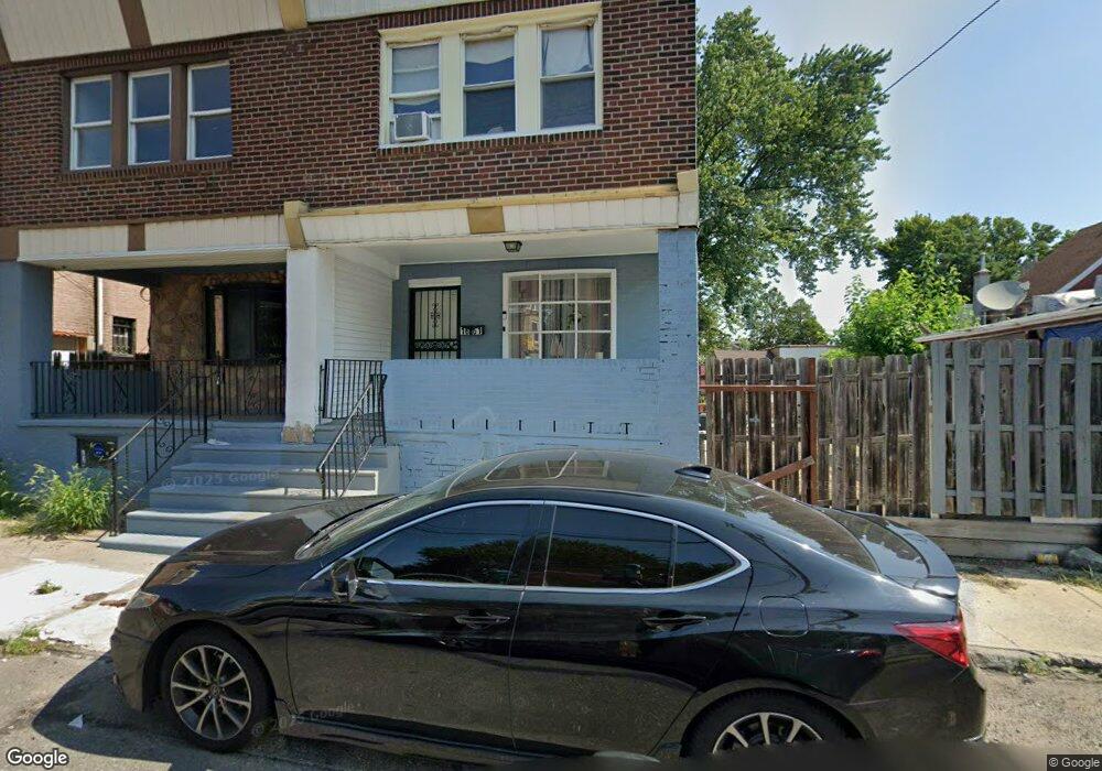
1661 Womrath St Philadelphia, PA 19124
Frankford NeighborhoodEstimated Value: $114,000 - $134,000
3
Beds
1
Bath
945
Sq Ft
$129/Sq Ft
Est. Value
About This Home
This home is located at 1661 Womrath St, Philadelphia, PA 19124 and is currently estimated at $121,606, approximately $128 per square foot. 1661 Womrath St is a home located in Philadelphia County with nearby schools including Allen M. Stearne School, Frankford High School, and Mariana Bracetti Academy Cs.
Ownership History
Date
Name
Owned For
Owner Type
Purchase Details
Closed on
Jul 1, 2021
Sold by
Bennett Iii Franklin A and Bennett Jaime L
Bought by
Inversiones Garcia Acosta Inc
Current Estimated Value
Purchase Details
Closed on
Aug 28, 2008
Sold by
Hull Mary A and Spinelli Judy
Bought by
Hull Mary A and Spinelli Judy
Purchase Details
Closed on
May 19, 1995
Sold by
Pierce Marcella F and Scollin Marcella F
Bought by
Hull Mary A
Create a Home Valuation Report for This Property
The Home Valuation Report is an in-depth analysis detailing your home's value as well as a comparison with similar homes in the area
Home Values in the Area
Average Home Value in this Area
Purchase History
| Date | Buyer | Sale Price | Title Company |
|---|---|---|---|
| Inversiones Garcia Acosta Inc | $60,000 | New Title Company Name | |
| Hull Mary A | $35,500 | None Available | |
| Hull Mary A | $25,000 | -- |
Source: Public Records
Tax History Compared to Growth
Tax History
| Year | Tax Paid | Tax Assessment Tax Assessment Total Assessment is a certain percentage of the fair market value that is determined by local assessors to be the total taxable value of land and additions on the property. | Land | Improvement |
|---|---|---|---|---|
| 2025 | $920 | $100,300 | $20,000 | $80,300 |
| 2024 | $920 | $100,300 | $20,000 | $80,300 |
| 2023 | $920 | $65,700 | $13,140 | $52,560 |
| 2022 | $634 | $65,700 | $13,140 | $52,560 |
| 2021 | $658 | $0 | $0 | $0 |
| 2020 | $658 | $0 | $0 | $0 |
| 2019 | $631 | $0 | $0 | $0 |
| 2018 | $630 | $0 | $0 | $0 |
| 2017 | $630 | $0 | $0 | $0 |
| 2016 | $630 | $0 | $0 | $0 |
| 2015 | -- | $0 | $0 | $0 |
| 2014 | -- | $45,000 | $7,323 | $37,677 |
| 2012 | -- | $6,720 | $416 | $6,304 |
Source: Public Records
Map
Nearby Homes
- 4184 Paul St
- 4034 80 Orchard St
- 4147 Paul St
- 4134-36 Orchard St
- 4123 Orchard St
- 4255-57 Orchard St
- 4270 Paul St
- 4229 Romain St
- 4283 Frankford Ave
- 1818 Church St
- 1923 Berkshire St
- 4229 Griscom St
- 1519 Womrath St
- 1903 Church St
- 1512 Adams Ave
- 1507 Adams Ave
- 4331 Waln St
- 4347 Paul St
- 1417 Deal St
- 1419 Deal St