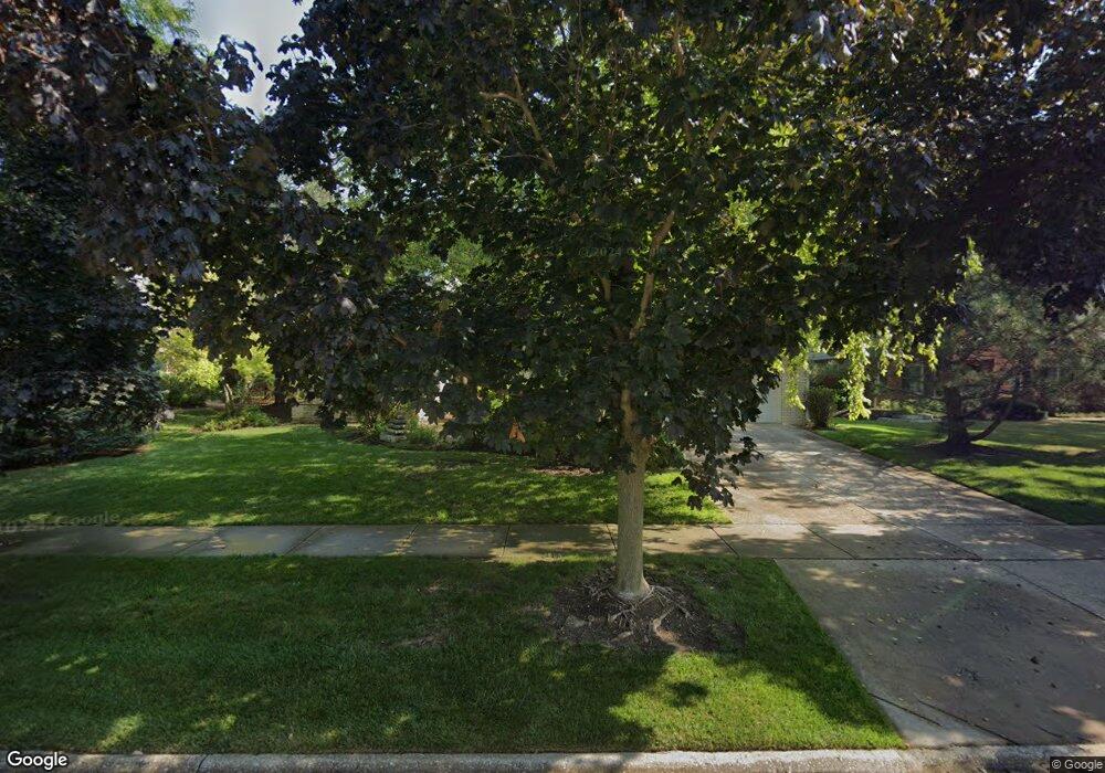
16614 W Primrose Ln Lockport, IL 60441
Estimated Value: $478,319 - $574,000
3
Beds
--
Bath
2,763
Sq Ft
$190/Sq Ft
Est. Value
About This Home
This home is located at 16614 W Primrose Ln, Lockport, IL 60441 and is currently estimated at $524,830, approximately $189 per square foot. 16614 W Primrose Ln is a home located in Will County with nearby schools including Walsh Elementary School, Ludwig Elementary School, and Reed Elementary School.
Ownership History
Date
Name
Owned For
Owner Type
Purchase Details
Closed on
May 10, 2004
Sold by
Sluski Dennis and Sluski Carole J
Bought by
State Bank Of Illinois and Trust #1-1267
Current Estimated Value
Create a Home Valuation Report for This Property
The Home Valuation Report is an in-depth analysis detailing your home's value as well as a comparison with similar homes in the area
Home Values in the Area
Average Home Value in this Area
Purchase History
| Date | Buyer | Sale Price | Title Company |
|---|---|---|---|
| State Bank Of Illinois | $360,000 | Chicago Title Insurance Comp |
Source: Public Records
Tax History Compared to Growth
Tax History
| Year | Tax Paid | Tax Assessment Tax Assessment Total Assessment is a certain percentage of the fair market value that is determined by local assessors to be the total taxable value of land and additions on the property. | Land | Improvement |
|---|---|---|---|---|
| 2024 | $12,626 | $162,933 | $22,736 | $140,197 |
| 2023 | $12,626 | $147,691 | $20,609 | $127,082 |
| 2022 | $12,012 | $137,900 | $19,243 | $118,657 |
| 2021 | $10,842 | $130,649 | $18,231 | $112,418 |
| 2020 | $10,782 | $125,842 | $17,560 | $108,282 |
| 2019 | $10,445 | $121,060 | $16,893 | $104,167 |
| 2018 | $10,195 | $116,673 | $16,699 | $99,974 |
| 2017 | $10,011 | $113,407 | $16,232 | $97,175 |
| 2016 | $9,804 | $109,625 | $15,691 | $93,934 |
| 2015 | $9,604 | $105,510 | $15,102 | $90,408 |
| 2014 | $9,604 | $103,330 | $14,790 | $88,540 |
| 2013 | $9,604 | $103,330 | $14,790 | $88,540 |
Source: Public Records
Map
Nearby Homes
- 15451 S Scott Dr
- 9.5 Acres S Archer Ave
- 510 N Lockwood Dr
- 14838 S Hillside Dr
- 16525 Golden Valley Ln
- 16523 Golden Valley Ln
- 16517 Golden Valley Ln
- 16541 Golden Valley Ln
- 16527 Golden Valley Ln
- 16533 Golden Valley Ln
- 16531 Golden Valley Ln
- 16535 Golden Valley Ln
- Marianne Plan at Oak Valley
- Darcy Plan at Oak Valley
- Charlotte Plan at Oak Valley
- 16742 Fawn Path
- 14903 S Preserve Dr
- 0 151st & MacGregor St Unit MRD11873272
- 0 Smith Rd South of 135th St Unit MRD12274096
- 0 N State St Unit 10995892
- 16622 W Primrose Ln
- 16606 W Primrose Ln
- 16630 W Primrose Ln
- 16564 W Primrose Ln
- 16563 W Arbor Terrace Unit 2
- 16625 W Primrose Ln
- 16621 W Arbor Terrace
- 16636 W Primrose Ln
- 16555 W Arbor Terrace
- 16611 W Primrose Ln
- 16556 W Primrose Ln
- 16619 W Primrose Ln
- 16605 W Primrose Ln
- 16633 W Primrose Ln
- 16642 W Primrose Ln
- 16563 W Primrose Ln Unit 1
- 16629 W Arbor Terrace
- 16602 W Arbor Terrace
- 15365 W Chestnut Cir Unit 1
- 16610 W Arbor Terrace