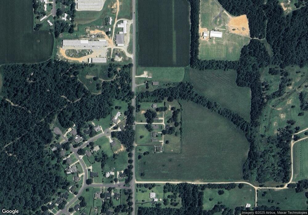
16616 State Highway 181 Fairhope, AL 36532
Estimated Value: $273,541 - $310,000
3
Beds
2
Baths
1,417
Sq Ft
$205/Sq Ft
Est. Value
About This Home
This home is located at 16616 State Highway 181, Fairhope, AL 36532 and is currently estimated at $290,635, approximately $205 per square foot. 16616 State Highway 181 is a home located in Baldwin County with nearby schools including J. Larry Newton School, Fairhope Middle School, and Fairhope High School.
Ownership History
Date
Name
Owned For
Owner Type
Purchase Details
Closed on
Jun 10, 2024
Sold by
Herndon Peter G
Bought by
Childress Stephanie and Childress Charlz
Current Estimated Value
Home Financials for this Owner
Home Financials are based on the most recent Mortgage that was taken out on this home.
Original Mortgage
$417,050
Outstanding Balance
$379,707
Interest Rate
7.17%
Mortgage Type
Balloon
Estimated Equity
-$89,072
Create a Home Valuation Report for This Property
The Home Valuation Report is an in-depth analysis detailing your home's value as well as a comparison with similar homes in the area
Home Values in the Area
Average Home Value in this Area
Purchase History
| Date | Buyer | Sale Price | Title Company |
|---|---|---|---|
| Childress Stephanie | $439,000 | None Listed On Document |
Source: Public Records
Mortgage History
| Date | Status | Borrower | Loan Amount |
|---|---|---|---|
| Open | Childress Stephanie | $417,050 |
Source: Public Records
Tax History Compared to Growth
Tax History
| Year | Tax Paid | Tax Assessment Tax Assessment Total Assessment is a certain percentage of the fair market value that is determined by local assessors to be the total taxable value of land and additions on the property. | Land | Improvement |
|---|---|---|---|---|
| 2024 | $1,365 | $43,700 | $4,100 | $39,600 |
| 2023 | $1,259 | $40,600 | $3,460 | $37,140 |
| 2022 | $1,097 | $35,400 | $0 | $0 |
| 2021 | $967 | $30,900 | $0 | $0 |
| 2020 | $947 | $30,560 | $0 | $0 |
| 2019 | $53 | $1,880 | $0 | $0 |
| 2018 | $53 | $1,880 | $0 | $0 |
| 2017 | $53 | $1,880 | $0 | $0 |
| 2016 | $53 | $1,880 | $0 | $0 |
| 2015 | $53 | $1,880 | $0 | $0 |
| 2014 | $53 | $1,880 | $0 | $0 |
| 2013 | -- | $1,660 | $0 | $0 |
Source: Public Records
Map
Nearby Homes
- 16968 Lea Cir
- 9803 Silverwood Dr
- 502 Hardwood Ave
- 9785 Terrace Dr
- 17057 Count Ct
- 10590 County Road 32
- 9607 Czar Ct
- 9575 Czar Ct
- 9629 Watkins Dr
- 17412 Abingdon Ln
- 16277 Laurelbrooke Loop
- 16099 Laurelbrooke Loop
- CALI Plan at Laurelbrooke
- The Ryder Plan at Laurelbrooke
- KELLY Plan at Laurelbrooke
- LAKESIDE Plan at Laurelbrooke
- 16087 Laurelbrooke Loop
- 16075 Laurelbrooke Loop
- 16051 Laurelbrooke Loop
- 16054 Laurelbrooke Loop
- 16616 Alabama 181 Unit A
- 16616 Alabama 181
- 16700 State Highway 181
- 16700 State Highway 181
- 16700 Alabama 181
- 16572 State Highway 181
- 16752 State Highway 181
- 9925 Glover Ct
- 11 Glover Ct
- 8 Glover Ct
- 6 Glover Ct
- 7 Glover Ct
- 0 Glover Ct
- 0 Glover Ct Unit 8 0544829
- 0 Glover Ct Unit 7 0544827
- 0 Glover Ct Unit 6 0544824
- 0 Glover Ct Unit 11 0544830
- 0 Glover Ct Unit 1 0543235
- 0 Glover Ct Unit 1 0528693
- 0 Glover Ct Unit 1 0515545
