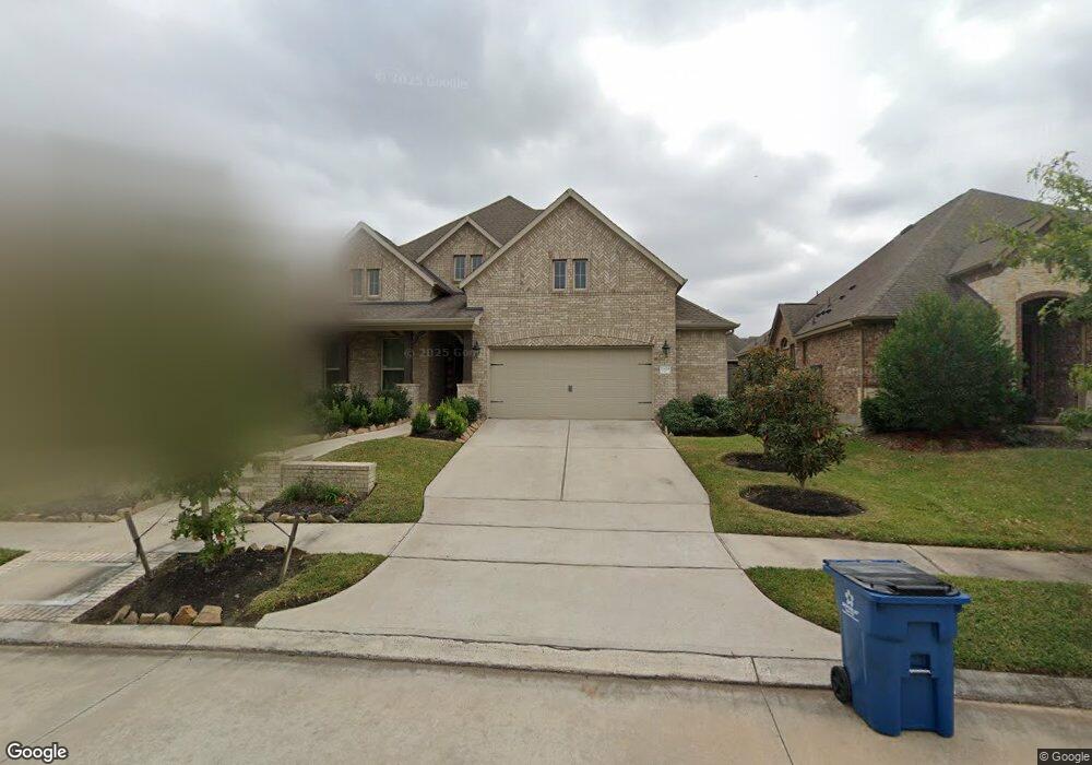
16618 Emmaus Ln Cypress, TX 77433
Bridgeland NeighborhoodEstimated Value: $647,289 - $697,000
4
Beds
3
Baths
3,312
Sq Ft
$201/Sq Ft
Est. Value
About This Home
This home is located at 16618 Emmaus Ln, Cypress, TX 77433 and is currently estimated at $667,072, approximately $201 per square foot. 16618 Emmaus Ln is a home with nearby schools including Wells Elementary, Bridgeland High School, and Silverline Montessori School - Cypress.
Ownership History
Date
Name
Owned For
Owner Type
Purchase Details
Closed on
Mar 23, 2018
Sold by
Mhi Partnership Ltd
Bought by
Williams Eric W and Williams Tasha M
Current Estimated Value
Home Financials for this Owner
Home Financials are based on the most recent Mortgage that was taken out on this home.
Original Mortgage
$399,746
Outstanding Balance
$342,062
Interest Rate
4.32%
Mortgage Type
New Conventional
Estimated Equity
$325,010
Create a Home Valuation Report for This Property
The Home Valuation Report is an in-depth analysis detailing your home's value as well as a comparison with similar homes in the area
Home Values in the Area
Average Home Value in this Area
Purchase History
| Date | Buyer | Sale Price | Title Company |
|---|---|---|---|
| Williams Eric W | -- | Millennium Title Company |
Source: Public Records
Mortgage History
| Date | Status | Borrower | Loan Amount |
|---|---|---|---|
| Open | Williams Eric W | $399,746 |
Source: Public Records
Tax History Compared to Growth
Tax History
| Year | Tax Paid | Tax Assessment Tax Assessment Total Assessment is a certain percentage of the fair market value that is determined by local assessors to be the total taxable value of land and additions on the property. | Land | Improvement |
|---|---|---|---|---|
| 2025 | $13,508 | $596,575 | $107,291 | $489,284 |
| 2024 | $13,508 | $643,659 | $107,291 | $536,368 |
| 2023 | $13,508 | $565,000 | $107,291 | $457,709 |
| 2022 | $15,315 | $580,000 | $73,968 | $506,032 |
| 2021 | $14,693 | $428,000 | $73,968 | $354,032 |
| 2020 | $15,280 | $431,418 | $73,968 | $357,450 |
| 2019 | $14,515 | $400,608 | $73,968 | $326,640 |
| 2018 | $2,851 | $197,971 | $73,968 | $124,003 |
| 2017 | $2,148 | $73,968 | $73,968 | $0 |
| 2016 | $2,693 | $73,968 | $73,968 | $0 |
| 2015 | -- | $73,968 | $73,968 | $0 |
Source: Public Records
Map
Nearby Homes
- 18922 New Birmingham Dr
- 16406 Mount Hope Dr
- 16706 Chestnut Square Dr
- 8443 Jetty Glen Dr
- 21211 Shore Bluff Dr
- 18731 Pilot Knolls Dr
- 19122 Panther Cave Ct
- 16706 Blackland Prairie Dr
- 16159 Lower Pecos St
- 16719 Highland Country Dr
- 17002 Brickellbush Ct
- 16131 Lower Pecos St
- 16747 Highland Country Dr
- 17131 Upton Hill Dr
- 19243 Presa Canyon Dr
- 18802 Luby Creek Dr
- 18515 Gunda Heights Dr
- 15815 Talala Trail
- 18534 Inspiration Dr
- 18422 Blue Hollow Heights Dr
- 16614 Emmaus Ln
- 16622 Emmaus Ln
- 16610 Emmaus Ln
- 18918 New Birmingham Dr
- 18927 Lookout Ridge Dr
- 18914 New Birmingham Dr
- 18926 New Birmingham Dr
- 16606 Emmaus Ln
- 18918 Lookout Ridge Dr
- 18922 Lookout Ridge Dr
- 18910 New Birmingham Dr
- 18914 Lookout Ridge Dr
- 18931 Lookout Ridge Dr
- 16602 Emmaus Ln
- 18926 Lookout Ridge Dr
- 18930 New Birmingham Dr
- 18930 Lookout Ridge Dr
- 18934 New Birmingham Dr
- 18935 Lookout Ridge Dr
- 18923 New Birmingham Dr