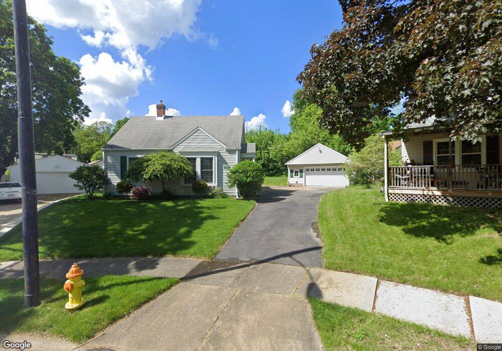
1662 Catawba Cir Akron, OH 44301
Firestone Park NeighborhoodEstimated Value: $149,425 - $172,000
2
Beds
1
Bath
868
Sq Ft
$183/Sq Ft
Est. Value
About This Home
This home is located at 1662 Catawba Cir, Akron, OH 44301 and is currently estimated at $159,106, approximately $183 per square foot. 1662 Catawba Cir is a home located in Summit County with nearby schools including Kenmore Garfield Community Learning Center, Main Preparatory Academy, and Eagle Elementary.
Ownership History
Date
Name
Owned For
Owner Type
Purchase Details
Closed on
Oct 20, 2004
Sold by
King Cynthia M and King Richard L
Bought by
Daniels Carol L
Current Estimated Value
Purchase Details
Closed on
Oct 19, 2004
Sold by
Estate Of Ralph W Daniels
Bought by
Daniels Cheryl A and Daniels Carol L
Purchase Details
Closed on
Oct 25, 2002
Sold by
Daniels Ralph W
Bought by
Daniels Ralph W and Daniels Cheryl
Create a Home Valuation Report for This Property
The Home Valuation Report is an in-depth analysis detailing your home's value as well as a comparison with similar homes in the area
Home Values in the Area
Average Home Value in this Area
Purchase History
| Date | Buyer | Sale Price | Title Company |
|---|---|---|---|
| Daniels Carol L | -- | -- | |
| Daniels Carol L | -- | -- | |
| Daniels Cheryl A | -- | -- | |
| Daniels Ralph W | -- | -- |
Source: Public Records
Tax History Compared to Growth
Tax History
| Year | Tax Paid | Tax Assessment Tax Assessment Total Assessment is a certain percentage of the fair market value that is determined by local assessors to be the total taxable value of land and additions on the property. | Land | Improvement |
|---|---|---|---|---|
| 2025 | $2,356 | $44,640 | $9,545 | $35,095 |
| 2024 | $2,356 | $44,640 | $9,545 | $35,095 |
| 2023 | $2,356 | $44,640 | $9,545 | $35,095 |
| 2022 | $2,208 | $32,809 | $6,916 | $25,893 |
| 2021 | $2,210 | $32,809 | $6,916 | $25,893 |
| 2020 | $2,177 | $32,810 | $6,920 | $25,890 |
| 2019 | $1,930 | $26,310 | $7,460 | $18,850 |
| 2018 | $1,904 | $26,310 | $7,460 | $18,850 |
| 2017 | $1,934 | $26,310 | $7,460 | $18,850 |
| 2016 | $1,936 | $26,310 | $7,460 | $18,850 |
| 2015 | $1,934 | $26,310 | $7,460 | $18,850 |
| 2014 | $1,919 | $26,310 | $7,460 | $18,850 |
| 2013 | $1,871 | $26,190 | $7,460 | $18,730 |
Source: Public Records
Map
Nearby Homes
- 1637 Rockford St
- 1614 Glenmount Ave
- 74 E Catawba Ave
- 197 E Wilbeth Rd
- 361 Mission Dr
- 369 Mission Dr
- 227 Crescent Dr
- 41 E Rosewood Ave
- 88 E Dresden Ave
- 1861 S Main St
- 23 Selden Ave
- 40 E Dresden Ave
- 132 Crescent Dr
- 451 Selden Ave
- 1500 Beardsley St
- 437 Palmetto Ave
- 1699 Redwood Ave
- 1459 Holly Ave
- 1560 Redwood Ave
- 739 S Firestone Blvd
- 1667 Catawba Cir
- 1668 Catawba Cir
- 1677 Marigold Ave
- 1702 Thornapple Ave
- 1681 Marigold Ave
- 1671 Marigold Ave
- 1696 Thornapple Ave
- 1671 Catawba Cir
- 1687 Marigold Ave
- 1672 Catawba Cir
- 1712 Thornapple Ave
- 1688 Thornapple Ave
- 1691 Marigold Ave
- 231 E Catawba Ave
- 1720 Thornapple Ave
- 1728 Thornapple Ave
- 217 E Catawba Ave
- 1697 Marigold Ave
- 239 E Catawba Ave
- 209 E Catawba Ave