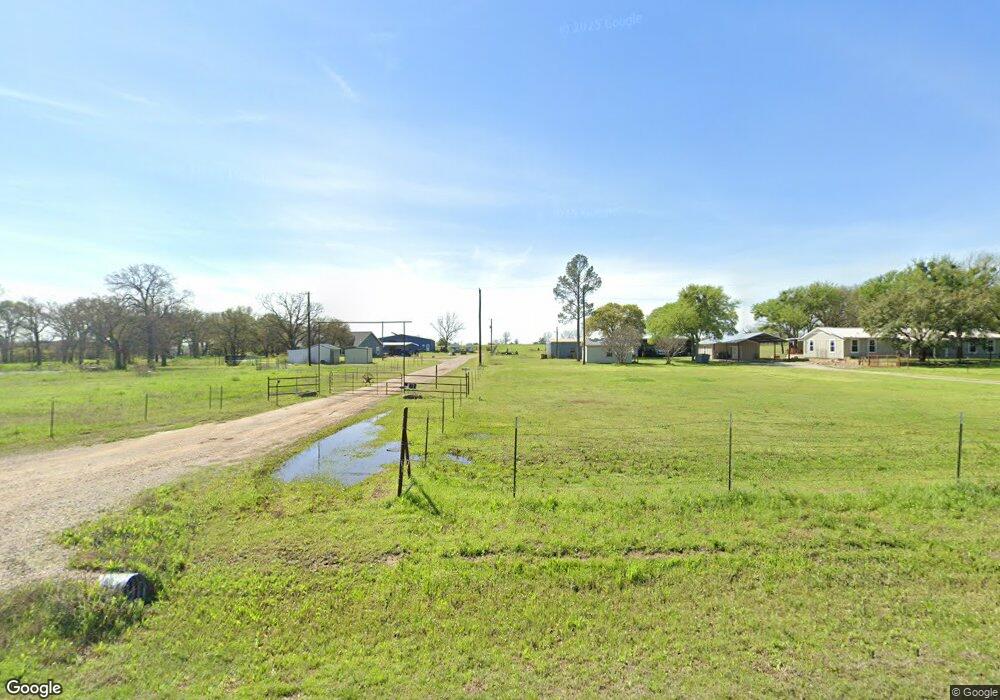
1662 Poe Prairie Rd Millsap, TX 76066
Estimated Value: $792,000
--
Bed
--
Bath
2,293
Sq Ft
$345/Sq Ft
Est. Value
About This Home
This home is located at 1662 Poe Prairie Rd, Millsap, TX 76066 and is currently estimated at $792,000, approximately $345 per square foot. 1662 Poe Prairie Rd is a home located in Parker County with nearby schools including Millsap Elementary School, Millsap Middle School, and Millsap High School.
Ownership History
Date
Name
Owned For
Owner Type
Purchase Details
Closed on
Apr 11, 1984
Sold by
Veterans Land Board
Bought by
Jackson Grace Annette Newton
Current Estimated Value
Purchase Details
Closed on
Sep 21, 1968
Sold by
Veterans Land Board
Bought by
Jackson Grace Annette Newton
Purchase Details
Closed on
Sep 18, 1968
Sold by
Peninger Donald N and Patricia Ann
Bought by
Jackson Grace Annette Newton
Create a Home Valuation Report for This Property
The Home Valuation Report is an in-depth analysis detailing your home's value as well as a comparison with similar homes in the area
Home Values in the Area
Average Home Value in this Area
Purchase History
| Date | Buyer | Sale Price | Title Company |
|---|---|---|---|
| Jackson Grace Annette Newton | -- | -- | |
| Jackson Grace Annette Newton | -- | -- | |
| Jackson Grace Annette Newton | -- | -- |
Source: Public Records
Tax History Compared to Growth
Tax History
| Year | Tax Paid | Tax Assessment Tax Assessment Total Assessment is a certain percentage of the fair market value that is determined by local assessors to be the total taxable value of land and additions on the property. | Land | Improvement |
|---|---|---|---|---|
| 2025 | $2,677 | $247,868 | -- | -- |
| 2024 | $2,677 | $225,335 | -- | -- |
| 2023 | $2,677 | $329,330 | $22,960 | $306,370 |
| 2022 | $3,534 | $186,230 | $12,460 | $173,770 |
| 2021 | $3,594 | $172,730 | $12,460 | $160,270 |
| 2020 | $3,259 | $151,490 | $14,810 | $136,680 |
| 2019 | $3,281 | $146,070 | $9,390 | $136,680 |
| 2018 | $3,017 | $132,610 | $7,000 | $125,610 |
| 2017 | $2,840 | $132,610 | $7,000 | $125,610 |
| 2016 | $2,582 | $108,160 | $6,200 | $101,960 |
| 2015 | $1,334 | $108,160 | $6,200 | $101,960 |
| 2014 | $1,466 | $88,320 | $5,500 | $82,820 |
Source: Public Records
Map
Nearby Homes
- 251 Tumbleweed Ct
- 1350 Stephens Rd
- TBD Wolf Hollow
- 4962 S Fm 113
- 7530 W Interstate 20
- 555 Sunset Trail
- XXXX Wolf Hollow
- 5288 Bennett Rd
- 6427 S Fm Rd 113
- 3810 Fairview Rd
- 401 Brock Spur
- 181 Savannah Dr
- 169 Savannah Dr
- 2350 Grindstone Rd
- 3200 Fairview Rd
- 2710 Fairview Rd
- Farm To Market 113
- TBD Consolation
- 101 Consolation Dr
- 3499 S Fm 113
- 1600 Poe Prairie Rd
- 1588 Poe Prairie Rd
- 1668 Poe Prairie Rd
- 1562 Poe Prairie Rd
- 1674 Poe Prairie Rd
- 1561 Poe Prairie Rd
- 1530 Poe Prairie Rd
- 1812 Poe Prairie Rd
- 353 Cattail Trail
- 1502 Poe Prairie Rd
- 1852 Poe Prairie Rd
- 1801 Poe Prairie Rd
- 1850 Poe Prairie Rd
- 1990 Poe Prairie Rd
- 2050 Poe Prairie Rd
- 329 Cattail Trail
- TBD2 Lazy Bend Rd
- 125 Nightlinger Trail
- TBD Norman Cool Jct
- 0002 Fm 113 S