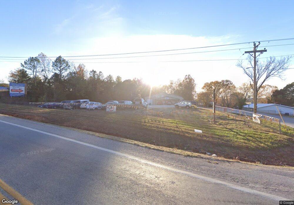
1662 State Highway H W Shell Knob, MO 65747
Estimated Value: $232,920 - $456,000
3
Beds
1
Bath
1,896
Sq Ft
$170/Sq Ft
Est. Value
About This Home
This home is located at 1662 State Highway H W, Shell Knob, MO 65747 and is currently estimated at $321,973, approximately $169 per square foot. 1662 State Highway H W is a home located in Stone County with nearby schools including Blue Eye Elementary School, Blue Eye Middle School, and Blue Eye High School.
Ownership History
Date
Name
Owned For
Owner Type
Purchase Details
Closed on
Apr 6, 2006
Sold by
Twuyver William J Van and Twuyver Diane M Van
Bought by
Johnson Jimmie L and Johnson Anne M
Current Estimated Value
Home Financials for this Owner
Home Financials are based on the most recent Mortgage that was taken out on this home.
Original Mortgage
$159,400
Interest Rate
9.37%
Mortgage Type
Adjustable Rate Mortgage/ARM
Create a Home Valuation Report for This Property
The Home Valuation Report is an in-depth analysis detailing your home's value as well as a comparison with similar homes in the area
Home Values in the Area
Average Home Value in this Area
Purchase History
| Date | Buyer | Sale Price | Title Company |
|---|---|---|---|
| Johnson Jimmie L | -- | -- |
Source: Public Records
Mortgage History
| Date | Status | Borrower | Loan Amount |
|---|---|---|---|
| Previous Owner | Johnson Jimmie L | $159,400 |
Source: Public Records
Tax History Compared to Growth
Tax History
| Year | Tax Paid | Tax Assessment Tax Assessment Total Assessment is a certain percentage of the fair market value that is determined by local assessors to be the total taxable value of land and additions on the property. | Land | Improvement |
|---|---|---|---|---|
| 2025 | $543 | $10,090 | -- | -- |
| 2024 | $542 | $10,090 | -- | -- |
| 2023 | $542 | $10,090 | $0 | $0 |
| 2022 | $540 | $10,090 | $0 | $0 |
| 2021 | $546 | $10,090 | $0 | $0 |
| 2020 | $553 | $10,090 | $0 | $0 |
| 2019 | $552 | $10,090 | $0 | $0 |
| 2018 | $393 | $10,090 | $0 | $0 |
| 2017 | $349 | $7,190 | $0 | $0 |
| 2016 | $342 | $7,190 | $0 | $0 |
| 2015 | $343 | $7,190 | $0 | $0 |
| 2014 | $344 | $7,180 | $0 | $0 |
| 2012 | $344 | $7,180 | $0 | $0 |
Source: Public Records
Map
Nearby Homes
- Lot 81 Eagles Point Green Cypress Ln
- Lot 82 Eagles Point Green Cypress Ln
- 310 Rocky Road Ln
- 302 Wildwood Rd
- 253 Green Cypress Rd
- 110 Wildwood Rd
- 60 Green Cypress Ln
- 293 Green Cypress Ln
- Lot 33 Eagles Point Ln
- 3558 W State Highway H
- 845 Pilot View Rd
- 1 Hobbs Hollow Rd
- Lot 4 Lake Ridge
- 0 Wispy Trail Unit 60308064
- 48 Clearspring Rd
- 56 N Fork Ln
- 19 Nellie Ln
- 237 Daisy Ln
- 278 Daisy Ln
- 20 Cedar Falls Rd
- 1506 State Highway H W
- 33 Joyland Rd
- 0 H Unit 551290
- Tbd H
- 0 H Unit 30349499
- Tbd W H Hwy
- 1940 W State Highway H
- 1956 W State Highway H
- 1373 State Highway H W
- 2156 W State Highway H
- 2102 W State Highway H
- 2110 W West State Hwy H
- 2110 W State Highway H
- 2102 W H Hwy
- 2283 W State Highway H
- 2283 W H Hwy
- 2421 W State Highway H
- 2417 W State Highway H
- 385 Hendrickson School Rd
- 918 W State Highway H
