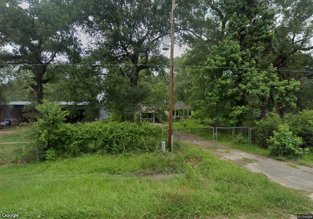
16623 Springfield Dr Conroe, TX 77302
Estimated Value: $194,178 - $328,000
2
Beds
1
Bath
1,136
Sq Ft
$218/Sq Ft
Est. Value
About This Home
This home is located at 16623 Springfield Dr, Conroe, TX 77302 and is currently estimated at $247,545, approximately $217 per square foot. 16623 Springfield Dr is a home located in Montgomery County with nearby schools including Grangerland Intermediate School, Moorhead Junior High School, and Caney Creek High School.
Ownership History
Date
Name
Owned For
Owner Type
Purchase Details
Closed on
Jun 30, 2022
Sold by
Debra Larson
Bought by
Montgomery County Texas
Current Estimated Value
Purchase Details
Closed on
Jul 22, 2016
Sold by
Dudley Phyllis J
Bought by
Larson Debra
Purchase Details
Closed on
Jul 18, 1997
Sold by
Clifford Calvin L and Clifford Hazel V
Bought by
Dudley Phyllis J
Purchase Details
Closed on
Jul 29, 1992
Sold by
Gilcrest Alice H
Bought by
Larson Debra
Purchase Details
Closed on
Sep 1, 1982
Bought by
Larson Debra
Create a Home Valuation Report for This Property
The Home Valuation Report is an in-depth analysis detailing your home's value as well as a comparison with similar homes in the area
Home Values in the Area
Average Home Value in this Area
Purchase History
| Date | Buyer | Sale Price | Title Company |
|---|---|---|---|
| Montgomery County Texas | -- | Chicago Title Company | |
| Larson Debra | -- | Old Republic Title | |
| Dudley Phyllis J | -- | -- | |
| Larson Debra | -- | -- | |
| Larson Debra | -- | -- |
Source: Public Records
Tax History
| Year | Tax Paid | Tax Assessment Tax Assessment Total Assessment is a certain percentage of the fair market value that is determined by local assessors to be the total taxable value of land and additions on the property. | Land | Improvement |
|---|---|---|---|---|
| 2025 | -- | $145,876 | $47,237 | $98,639 |
| 2024 | -- | $130,996 | $47,237 | $83,759 |
| 2023 | $2,082 | $131,910 | $47,240 | $84,670 |
| 2022 | $1,146 | $66,000 | $47,240 | $63,290 |
| 2021 | $1,109 | $60,000 | $23,580 | $36,420 |
| 2020 | $1,300 | $66,880 | $23,580 | $43,300 |
| 2019 | $1,526 | $75,770 | $3,820 | $71,950 |
| 2018 | $651 | $75,860 | $3,820 | $72,040 |
| 2017 | $1,534 | $75,910 | $3,820 | $72,090 |
| 2016 | $495 | $24,490 | $3,820 | $59,780 |
| 2015 | -- | $22,260 | $3,820 | $41,630 |
| 2014 | -- | $20,240 | $3,820 | $25,980 |
Source: Public Records
Map
Nearby Homes
- 16900 Hazelnut Dr
- 16912 Hazelnut Dr
- 16969 Hazelnut Dr
- 16976 Hazelnut Dr
- 16980 Hazelnut Dr
- 16981 Hazelnut Dr
- 16870 Bristle Cone Way
- 16994 Hazelnut Dr
- 17002 Hazelnut Dr
- 16889 Springfield Dr
- 17014 Hazelnut Dr
- 16763 Country Roots Ave
- 14308 Ash Tree Dr
- 16635 Olivewood Ln
- 14325 Ash Tree Dr
- 16587 Willow Forest Dr
- 14337 Ash Tree Dr
- 14300 Ash Tree Dr
- 16866 Needlepoint Dr
- 16874 Needlepoint Dr
- 16653 Springfield Dr
- 16601 Springfield
- 16698 Springfield Dr
- 0 Springfield Dr Unit 18851705
- 16693 Springfield Dr
- 16730 Springfield Dr
- 16723 Springfield Dr Unit 1
- 16758 Springfield Dr
- 16786 Springfield Dr
- 16783 Springfield Dr
- 16948 Hazelnut Dr
- 16956 Hazelnut Dr
- 16805 Springfield Dr
- 16949 Hazelnut Dr
- 16937 Hazelnut Dr
- 15436 Willowisp Trail
- 15435 Willowisp Trail
- 16822 Springfield Dr
- 16261 Southern Pines Dr
- 16823 Bristle Cone Way
Your Personal Tour Guide
Ask me questions while you tour the home.