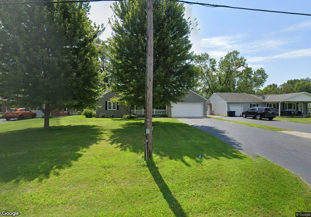
1663 State Route 730 Wilmington, OH 45177
Estimated Value: $237,323 - $282,000
3
Beds
1
Bath
1,652
Sq Ft
$162/Sq Ft
Est. Value
About This Home
This home is located at 1663 State Route 730, Wilmington, OH 45177 and is currently estimated at $266,831, approximately $161 per square foot. 1663 State Route 730 is a home located in Clinton County with nearby schools including East End Elementary School, Roy E. Holmes Elementary School, and Denver Place Elementary School.
Ownership History
Date
Name
Owned For
Owner Type
Purchase Details
Closed on
Sep 29, 2021
Sold by
Taylor Jamie N and Taylor Matt
Bought by
Taylor Jamie N and Taylor Matt
Current Estimated Value
Purchase Details
Closed on
Oct 17, 2013
Sold by
Swigert Rodney A
Bought by
Taylor Jamie N
Home Financials for this Owner
Home Financials are based on the most recent Mortgage that was taken out on this home.
Original Mortgage
$97,697
Interest Rate
3.87%
Mortgage Type
FHA
Purchase Details
Closed on
Jun 29, 1994
Bought by
Swigert Ronald A
Create a Home Valuation Report for This Property
The Home Valuation Report is an in-depth analysis detailing your home's value as well as a comparison with similar homes in the area
Home Values in the Area
Average Home Value in this Area
Purchase History
| Date | Buyer | Sale Price | Title Company |
|---|---|---|---|
| Taylor Jamie N | -- | None Listed On Document | |
| Taylor Jamie N | -- | None Available | |
| Taylor Jamie N | -- | -- | |
| Swigert Ronald A | -- | -- |
Source: Public Records
Mortgage History
| Date | Status | Borrower | Loan Amount |
|---|---|---|---|
| Previous Owner | Taylor Jamie N | $97,697 |
Source: Public Records
Tax History Compared to Growth
Tax History
| Year | Tax Paid | Tax Assessment Tax Assessment Total Assessment is a certain percentage of the fair market value that is determined by local assessors to be the total taxable value of land and additions on the property. | Land | Improvement |
|---|---|---|---|---|
| 2024 | $1,675 | $53,450 | $6,720 | $46,730 |
| 2023 | $1,675 | $53,450 | $6,720 | $46,730 |
| 2022 | $1,292 | $38,650 | $4,700 | $33,950 |
| 2021 | $1,307 | $38,650 | $4,700 | $33,950 |
| 2020 | $1,263 | $38,650 | $4,700 | $33,950 |
| 2019 | $1,275 | $35,930 | $5,110 | $30,820 |
| 2018 | $1,287 | $35,930 | $5,110 | $30,820 |
| 2017 | $1,251 | $35,930 | $5,110 | $30,820 |
| 2016 | $1,183 | $33,740 | $7,840 | $25,900 |
| 2015 | $1,183 | $33,740 | $7,840 | $25,900 |
| 2013 | $907 | $33,740 | $7,840 | $25,900 |
Source: Public Records
Map
Nearby Homes
- 1452 Meadow Ridge Cir
- 1985 State Route 730
- 1219 Blue Spruce Ln
- 1243 Blue Spruce Ln
- 1087 Warren Dr
- 514 Red Maple Ln
- 490 Red Maple Ln
- 166 Glenwood Cir
- 914 Hickory Trail Dr
- 89 Cambo Place
- 462 Randolph St
- 1052 Linhof Rd
- 1957 Ohio 730
- 2746 State Route 730
- 909 W Main St
- 63 Randolph St
- ac Cuba Rd
- 668 Catalpa Dr
- 1244 Mayfair Dr
- 1706 Woodside Dr
- 1663 St Rt 730
- 1649 S St Rt 730
- 1649 State Route 730
- 1631 State Route 730
- 1615 State Route 730
- 1709 State Route 730
- 1599 Ohio 730
- 1599 State Route 730
- 1729 State Route 730
- 1559 State Route 730
- 1769 State Route 730
- 1493 St Rt 730
- 1823 St Rt 730
- 1493 State Route 730
- 1869 State Route 730
- 921 S Nelson Ave
- 1025 Ohio 730
- 1393 Meadow Ridge Cir
- 1405 Meadow Ridge Cir
- 1419 Meadow Ridge Cir