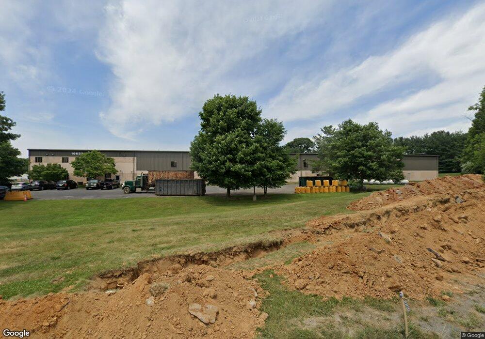
16634 Industrial Ln Williamsport, MD 21795
Estimated Value: $4,544,758
--
Bed
--
Bath
82,000
Sq Ft
$55/Sq Ft
Est. Value
About This Home
This home is located at 16634 Industrial Ln, Williamsport, MD 21795 and is currently estimated at $4,544,758, approximately $55 per square foot. 16634 Industrial Ln is a home located in Washington County with nearby schools including Williamsport Elementary School, Springfield Middle School, and Williamsport High School.
Ownership History
Date
Name
Owned For
Owner Type
Purchase Details
Closed on
Nov 14, 2014
Sold by
Rust Oleum Corporation
Bought by
16634 Industrial Lane Llc
Current Estimated Value
Purchase Details
Closed on
Sep 3, 1997
Sold by
V P Winter Distributing Co
Bought by
Rust & Oleum Corporation
Purchase Details
Closed on
Aug 11, 1989
Sold by
Hag Wash Co Ind Found Inc
Bought by
V P Winter Distributing Co
Create a Home Valuation Report for This Property
The Home Valuation Report is an in-depth analysis detailing your home's value as well as a comparison with similar homes in the area
Home Values in the Area
Average Home Value in this Area
Purchase History
| Date | Buyer | Sale Price | Title Company |
|---|---|---|---|
| 16634 Industrial Lane Llc | $2,300,000 | Premier Settlements & Title | |
| Rust & Oleum Corporation | $1,750,000 | -- | |
| V P Winter Distributing Co | $100,100 | -- |
Source: Public Records
Tax History Compared to Growth
Tax History
| Year | Tax Paid | Tax Assessment Tax Assessment Total Assessment is a certain percentage of the fair market value that is determined by local assessors to be the total taxable value of land and additions on the property. | Land | Improvement |
|---|---|---|---|---|
| 2025 | $35,072 | $3,448,867 | $0 | $0 |
| 2024 | $35,072 | $3,387,433 | $0 | $0 |
| 2023 | $34,436 | $3,326,000 | $756,900 | $2,569,100 |
| 2022 | $34,436 | $3,326,000 | $756,900 | $2,569,100 |
| 2021 | $35,256 | $3,326,000 | $756,900 | $2,569,100 |
| 2020 | $37,423 | $3,546,300 | $756,900 | $2,789,400 |
| 2019 | $37,591 | $3,546,300 | $756,900 | $2,789,400 |
| 2018 | $37,591 | $3,546,300 | $756,900 | $2,789,400 |
| 2017 | $39,607 | $3,736,500 | $0 | $0 |
| 2016 | -- | $3,677,167 | $0 | $0 |
| 2015 | -- | $3,617,833 | $0 | $0 |
| 2014 | $31,784 | $3,558,500 | $0 | $0 |
Source: Public Records
Map
Nearby Homes
- 10608 Hershey Dr
- 10642 Hershey Dr
- 10701 Bratton Ct
- 10730 Hershey Dr
- 10808 Archer Ln
- 10813 Wilcox Dr
- 10818 Anderson Dr
- 16722 Custer Ct
- 11015 Donelson Dr
- 10744 Apple Tree Ln
- 16040 Cloverton Ln
- Hemingway Plan at Elmwood Farm
- Alexandrite Plan at Elmwood Farm - Seasons
- Pearl Plan at Elmwood Farm - Seasons
- 10122 Wilkes Dr
- 10135 Wilkes Dr
- 10123 Wilkes Dr
- 10127 Wilkes Dr
- 10616 Peachtree Ln
- 302 Sunset Ave
- 16641 Edward Doub Rd
- 16605 Coney Ct
- 16609 Coney Ct
- 16601 Coney Ct
- 16639 Edward Doub Rd
- 16707 Edward Doub Rd
- 16703 Edward Doub Rd
- 16611 Coney Ct
- 16600 Coney Ct
- 16613 Coney Ct
- 16617 Coney Ct
- 10598 Will Rich Dr
- 16706 Edward Doub Rd
- 16604 Industrial Ln
- 16602 Coney Ct
- 16712 Edward Doub Rd
- 16635 Industrial Ln
- 16606 Coney Ct
- 16608 Coney Ct
- 16612 Coney Ct