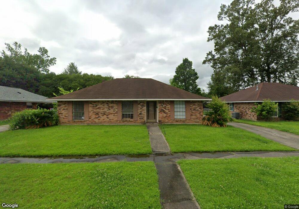
16638 Ellis Ave Baton Rouge, LA 70816
Shenandoah NeighborhoodEstimated Value: $178,253 - $219,000
3
Beds
2
Baths
1,469
Sq Ft
$136/Sq Ft
Est. Value
About This Home
This home is located at 16638 Ellis Ave, Baton Rouge, LA 70816 and is currently estimated at $199,313, approximately $135 per square foot. 16638 Ellis Ave is a home located in East Baton Rouge Parish with nearby schools including Wedgewood Elementary School, Southeast Middle School, and Tara High School.
Ownership History
Date
Name
Owned For
Owner Type
Purchase Details
Closed on
Feb 7, 2012
Sold by
R C Investments Inc
Bought by
Roy Carter Realty Inc
Current Estimated Value
Purchase Details
Closed on
Oct 30, 1998
Sold by
Hall Roberts Randa Lei
Bought by
Gorsch Jeannette D
Home Financials for this Owner
Home Financials are based on the most recent Mortgage that was taken out on this home.
Original Mortgage
$59,305
Interest Rate
6.61%
Mortgage Type
FHA
Create a Home Valuation Report for This Property
The Home Valuation Report is an in-depth analysis detailing your home's value as well as a comparison with similar homes in the area
Home Values in the Area
Average Home Value in this Area
Purchase History
| Date | Buyer | Sale Price | Title Company |
|---|---|---|---|
| Roy Carter Realty Inc | $99,000 | -- | |
| Gorsch Jeannette D | $79,500 | -- |
Source: Public Records
Mortgage History
| Date | Status | Borrower | Loan Amount |
|---|---|---|---|
| Previous Owner | Gorsch Jeannette D | $59,305 |
Source: Public Records
Tax History
| Year | Tax Paid | Tax Assessment Tax Assessment Total Assessment is a certain percentage of the fair market value that is determined by local assessors to be the total taxable value of land and additions on the property. | Land | Improvement |
|---|---|---|---|---|
| 2024 | $2,118 | $16,951 | $1,200 | $15,751 |
| 2023 | $2,127 | $13,270 | $1,200 | $12,070 |
| 2022 | $1,693 | $13,270 | $1,200 | $12,070 |
| 2021 | $1,664 | $13,270 | $1,200 | $12,070 |
| 2020 | $1,683 | $13,270 | $1,200 | $12,070 |
| 2019 | $1,294 | $10,300 | $1,200 | $9,100 |
| 2018 | $1,279 | $10,300 | $1,200 | $9,100 |
| 2017 | $1,279 | $10,300 | $1,200 | $9,100 |
| 2016 | $872 | $7,115 | $1,200 | $5,915 |
| 2015 | $1,153 | $9,500 | $1,200 | $8,300 |
| 2014 | $1,149 | $9,500 | $1,200 | $8,300 |
| 2013 | -- | $9,500 | $1,200 | $8,300 |
Source: Public Records
Map
Nearby Homes
- 16508 Patton Ave
- 16711 Patton Ave
- 2309 Cully Dr
- 16137 Chancel Ave
- 2914 O'Neal Ln
- 16210, 14, 18 Thorncrown Ln
- 16214 Thorncrown Ln
- 16816 White Springs Ave
- 16023 Derby Ave
- 2234 Morningbrook Dr
- 2413 Shadowbrook Dr
- 3251 King Bradford Dr
- 3323 King Bradford Dr
- 3234 Silver Sand Dr
- 3422 & 3 448 King Bradford Dr
- 2406 Shadowbrook Dr
- 3421 Oneal Ln Unit A
- 3246 Pine Grove Dr
- 3306 Grassy Lake Dr
- 2606 Shadowbrook Dr
- 16710 Ellis Ave
- 16628 Ellis Ave
- 16635 Bonham Ave
- 16720 Ellis Ave
- 16618 Ellis Ave
- 16707 Bonham Ave
- 16625 Bonham Ave
- 16637 Ellis Ave
- 16717 Bonham Ave
- 16615 Bonham Ave
- 16709 Ellis Ave
- 16627 Ellis Ave
- 16730 Ellis Ave
- 16608 Ellis Ave
- 16719 Ellis Ave
- 16617 Ellis Ave
- 16727 Bonham Ave
- 16605 Bonham Ave
- 16609 Ellis Ave
- 16740 Ellis Ave
Your Personal Tour Guide
Ask me questions while you tour the home.