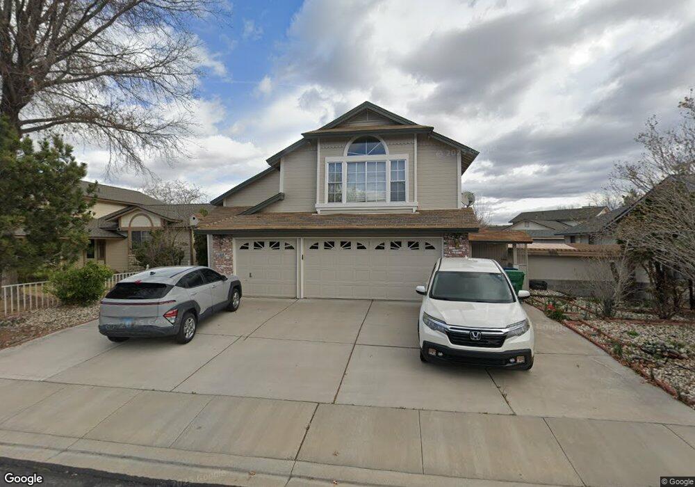
1664 Atlantic Way Sparks, NV 89434
Reed NeighborhoodEstimated Value: $619,319 - $661,000
5
Beds
3
Baths
2,748
Sq Ft
$232/Sq Ft
Est. Value
About This Home
This home is located at 1664 Atlantic Way, Sparks, NV 89434 and is currently estimated at $638,330, approximately $232 per square foot. 1664 Atlantic Way is a home located in Washoe County with nearby schools including Lloyd Diedrichsen Elementary School, Lou Mendive Middle School, and Edward C Reed High School.
Ownership History
Date
Name
Owned For
Owner Type
Purchase Details
Closed on
Sep 8, 2017
Sold by
Kim Bryan and Kim Yun J
Bought by
Kim Bryan and Kim Yun J
Current Estimated Value
Home Financials for this Owner
Home Financials are based on the most recent Mortgage that was taken out on this home.
Original Mortgage
$111,925
Outstanding Balance
$96,061
Interest Rate
5.25%
Mortgage Type
FHA
Estimated Equity
$542,269
Purchase Details
Closed on
Jul 18, 2011
Sold by
Kim Won S and Kim Ok T
Bought by
Kim Bryan and Kim Yun J
Purchase Details
Closed on
Apr 17, 1995
Sold by
Bailey and Bailey Mcgah
Bought by
Kim Bryan and Kim Yun J
Home Financials for this Owner
Home Financials are based on the most recent Mortgage that was taken out on this home.
Original Mortgage
$99,950
Interest Rate
8.6%
Create a Home Valuation Report for This Property
The Home Valuation Report is an in-depth analysis detailing your home's value as well as a comparison with similar homes in the area
Home Values in the Area
Average Home Value in this Area
Purchase History
| Date | Buyer | Sale Price | Title Company |
|---|---|---|---|
| Kim Bryan | -- | Capital Title Co Of Nevada | |
| Kim Bryan | -- | None Available | |
| Kim Bryan | $195,000 | Stewart Title |
Source: Public Records
Mortgage History
| Date | Status | Borrower | Loan Amount |
|---|---|---|---|
| Open | Kim Bryan | $111,925 | |
| Closed | Kim Bryan | $99,950 |
Source: Public Records
Tax History Compared to Growth
Tax History
| Year | Tax Paid | Tax Assessment Tax Assessment Total Assessment is a certain percentage of the fair market value that is determined by local assessors to be the total taxable value of land and additions on the property. | Land | Improvement |
|---|---|---|---|---|
| 2026 | $3,020 | $110,073 | $36,890 | $73,183 |
| 2025 | $3,734 | $111,038 | $36,120 | $74,918 |
| 2024 | $3,734 | $109,354 | $33,215 | $76,139 |
| 2023 | $2,397 | $107,519 | $35,175 | $72,344 |
| 2022 | $3,202 | $87,331 | $26,740 | $60,591 |
| 2021 | $3,022 | $82,359 | $21,735 | $60,624 |
| 2020 | $2,910 | $81,831 | $20,720 | $61,111 |
| 2019 | $2,771 | $80,331 | $20,720 | $59,611 |
| 2018 | $2,645 | $72,858 | $14,455 | $58,403 |
| 2017 | $2,538 | $72,498 | $13,720 | $58,778 |
| 2016 | $2,474 | $72,444 | $12,250 | $60,194 |
| 2015 | $2,470 | $70,720 | $10,325 | $60,395 |
| 2014 | $2,392 | $66,996 | $9,030 | $57,966 |
| 2013 | -- | $64,051 | $6,860 | $57,191 |
Source: Public Records
Map
Nearby Homes
- 1866 Pocono Ct
- 2002 Wabash Cir
- 1345 Coupler Ct
- 1770 Burnside Dr
- 1332 Coachman Ct
- 1005 Amico Dr
- 1290 Highgate Ct
- 1218 Junction Dr
- 2119 Avella Dr
- 1544 Woodhaven Ln
- 1757 Bluehaven Dr
- 1990 Fargo Way
- 1280 O'Callaghan Dr
- 2252 Sycamore Glen Dr
- 2159 Meritage Dr
- 675 Parlanti Ln Unit 52
- 675 Parlanti Ln Unit 124
- 675 Parlanti Ln Unit 42
- 675 Parlanti Ln
- 675 Parlanti Ln Unit 88
- 1634 Atlantic Way
- 1694 Atlantic Way
- 980 Railborne Dr
- 986 Railborne Dr
- 974 Railborne Dr
- 1604 Atlantic Way
- 1698 Atlantic Way
- 1665 Atlantic Way
- 968 Railborne Dr
- 1635 Atlantic Way
- 1695 Atlantic Way
- 955 Lillard Dr
- 992 Railborne Dr
- 1605 Atlantic Way
- 965 Lillard Dr
- 905 Railborne Dr
- 998 Railborne Dr
- 951 Railborne Dr
- 955 Railborne Dr
- 2781 Wabash Cir