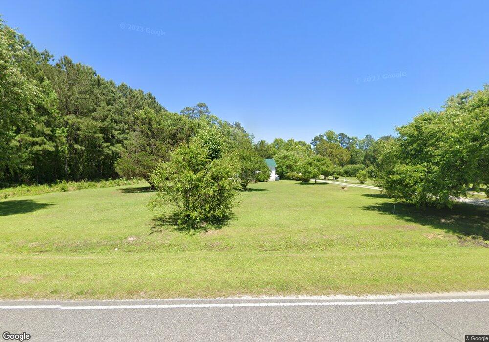
1664 Dirty Branch Rd Conway, SC 29527
Estimated Value: $195,000 - $247,000
3
Beds
2
Baths
1,152
Sq Ft
$194/Sq Ft
Est. Value
About This Home
This home is located at 1664 Dirty Branch Rd, Conway, SC 29527 and is currently estimated at $223,294, approximately $193 per square foot. 1664 Dirty Branch Rd is a home located in Horry County with nearby schools including Pee Dee Elementary School, Whittemore Park Middle School, and Conway High School.
Ownership History
Date
Name
Owned For
Owner Type
Purchase Details
Closed on
Jul 18, 2012
Sold by
Brown Meldon Maxwell
Bought by
Brown Cheryl Filmore
Current Estimated Value
Create a Home Valuation Report for This Property
The Home Valuation Report is an in-depth analysis detailing your home's value as well as a comparison with similar homes in the area
Home Values in the Area
Average Home Value in this Area
Purchase History
| Date | Buyer | Sale Price | Title Company |
|---|---|---|---|
| Brown Cheryl Filmore | -- | -- |
Source: Public Records
Tax History Compared to Growth
Tax History
| Year | Tax Paid | Tax Assessment Tax Assessment Total Assessment is a certain percentage of the fair market value that is determined by local assessors to be the total taxable value of land and additions on the property. | Land | Improvement |
|---|---|---|---|---|
| 2024 | $530 | $8,854 | $4,082 | $4,772 |
| 2023 | $498 | $4,165 | $1,387 | $2,778 |
| 2021 | $484 | $4,572 | $1,448 | $3,124 |
| 2020 | $407 | $4,572 | $1,448 | $3,124 |
| 2019 | $407 | $4,572 | $1,448 | $3,124 |
| 2018 | $0 | $3,622 | $1,206 | $2,416 |
| 2017 | $354 | $3,622 | $1,206 | $2,416 |
| 2016 | $0 | $3,622 | $1,206 | $2,416 |
| 2015 | -- | $3,622 | $1,206 | $2,416 |
| 2014 | $328 | $3,622 | $1,206 | $2,416 |
Source: Public Records
Map
Nearby Homes
- 3120 Merganser Dr
- 3230 Merganser Dr
- 1301 Mandarin Dr
- 3524 Merganser Dr
- 1300 Ruddy Ct
- 1911 Dirty Branch Rd
- TBD New Rd
- 5241 Cates Bay Hwy
- 7.4 Acs Cates Bay Hwy Unit Lot 10
- 5.47 Acs Cates Bay Hwy Unit Lot 4
- 6.97 Acs Cates Bay Hwy Unit Lot 12
- 19.09 Acs Cates Bay Hwy Unit Lot 11
- 5.73 Acs Cates Bay Hwy Unit Lot 5
- 6.84 Acs Cates Bay Hwy Unit Lot 8
- 7.39 Acs Cates Bay Hwy Unit Lot 9
- 9.33 Acs Cates Bay Hwy Unit Lot 13
- 1048 Cadbury Ct
- 1049 Augustus Dr
- 632 Golden Resin Rd Unit Lot 190
- 628 Golden Resin Rd
- 1527 Dirty Branch Rd
- TBD Blain Ln
- 3348 Blain Ln
- 3345 Blain Ln
- 1676 Dirty Branch Rd
- 3341 Blain Ln
- 1688 Dirty Branch Rd
- 9433 Carrington Dr
- 1500 Dirty Branch Rd
- 3311 Blain Ln
- 1498 Dirty Branch Rd
- 1465 Dirty Branch Rd
- 4201 Ossie Ln
- 4213 Ossie Ln
- 1496 Dirty Branch Rd
- 4221 Ossie Ln
- 1499 Dirty Branch Rd
- 1494 Dirty Branch Rd
- 4243 Ossie Ln
- 3514 Merganser Dr