Estimated Value: $687,617 - $832,000
3
Beds
3
Baths
2,077
Sq Ft
$367/Sq Ft
Est. Value
About This Home
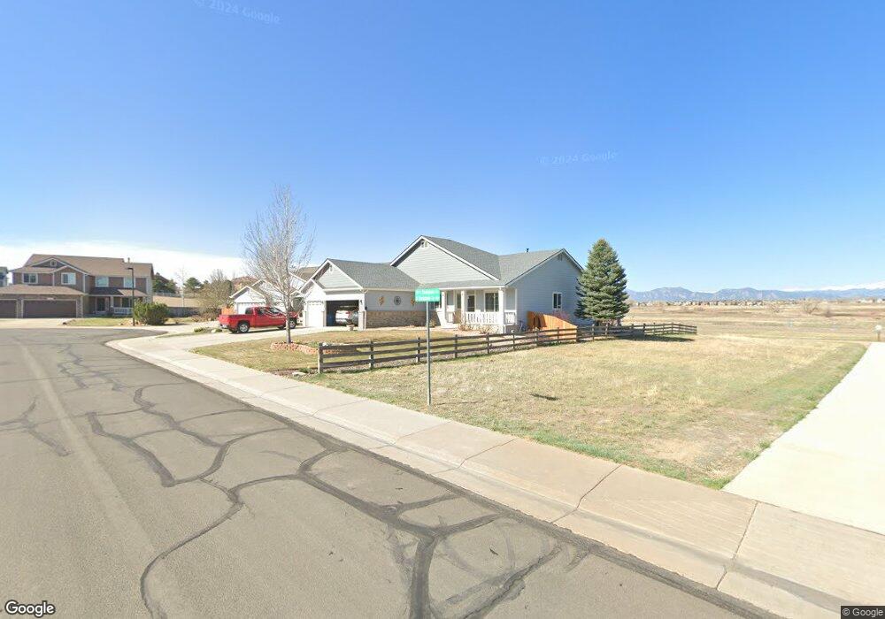
This home is located at 1664 Parkdale Cir S, Erie, CO 80516 and is currently estimated at $762,904, approximately $367 per square foot. 1664 Parkdale Cir S is a home located in Weld County with nearby schools including Black Rock Elementary School, Erie Middle School, and Erie High School.
Ownership History
Date
Name
Owned For
Owner Type
Purchase Details
Closed on
Jun 4, 2025
Sold by
Lukowicz Richard C and Lukowicz Jessie S
Bought by
Lukowicz Family Trust
Current Estimated Value
Purchase Details
Closed on
Jul 30, 2003
Sold by
Melody Homes Inc
Bought by
Lukowicz Richard C and Lukowicz Jessie S
Home Financials for this Owner
Home Financials are based on the most recent Mortgage that was taken out on this home.
Original Mortgage
$260,111
Interest Rate
5.19%
Mortgage Type
Unknown
Create a Home Valuation Report for This Property
The Home Valuation Report is an in-depth analysis detailing your home's value as well as a comparison with similar homes in the area
Home Values in the Area
Average Home Value in this Area
Purchase History
| Date | Buyer | Sale Price | Title Company |
|---|---|---|---|
| Lukowicz Family Trust | -- | None Listed On Document | |
| Lukowicz Richard C | $325,149 | Land Title Guarantee Company |
Source: Public Records
Mortgage History
| Date | Status | Borrower | Loan Amount |
|---|---|---|---|
| Previous Owner | Lukowicz Richard C | $260,111 | |
| Closed | Lukowicz Richard C | $48,771 |
Source: Public Records
Tax History Compared to Growth
Tax History
| Year | Tax Paid | Tax Assessment Tax Assessment Total Assessment is a certain percentage of the fair market value that is determined by local assessors to be the total taxable value of land and additions on the property. | Land | Improvement |
|---|---|---|---|---|
| 2025 | $3,546 | $42,710 | $10,810 | $31,900 |
| 2024 | $3,546 | $42,710 | $10,810 | $31,900 |
| 2023 | $3,418 | $43,970 | $11,030 | $32,940 |
| 2022 | $3,011 | $34,880 | $7,710 | $27,170 |
| 2021 | $3,076 | $35,890 | $7,940 | $27,950 |
| 2020 | $2,668 | $32,280 | $6,440 | $25,840 |
| 2019 | $2,692 | $32,280 | $6,440 | $25,840 |
| 2018 | $2,323 | $28,910 | $5,040 | $23,870 |
| 2017 | $2,258 | $28,910 | $5,040 | $23,870 |
| 2016 | $1,883 | $25,850 | $4,940 | $20,910 |
| 2015 | $1,827 | $25,850 | $4,940 | $20,910 |
| 2014 | $1,724 | $24,710 | $5,170 | $19,540 |
Source: Public Records
Map
Nearby Homes
- 919 Taylor Ln
- 147 Commander Dr
- 1348 Lawson Ave
- 290 Commander Dr
- 1287 Serene Dr
- 1055 Greens Place
- 1055 Greens Place Unit 30
- 2131 Driver Ln
- 190 Cessna Dr
- 599 Greenville Alley
- 540 Grenville Cir
- 1143 Koss St
- 1595 Quest Alley
- 702 Drake Ave
- 2321 Links Place
- 2299 Links Place
- 1033 Petras St
- 112 Austin Ave
- 1038 Mircos St
- 561 Piper Dr
- 1670 Parkdale Cir S
- 1678 S Parkdale Cir
- 1678 Parkdale Cir S
- 1663 Parkdale Cir S
- 1628 Parkdale Cir N
- 1684 Parkdale Cir S
- 1673 Parkdale Cir S
- 1690 Parkdale Cir S
- 1638 Parkdale Cir N
- 1617 Parkdale Cir N
- 1627 Parkdale Cir N
- 1683 Parkdale Cir S
- 1696 Parkdale Cir S
- 1650 Parkdale Cir N
- 1637 Parkdale Cir N
- 1693 Parkdale Cir S
- 1702 S Parkdale Cir
- 1649 Parkdale Cir N
- 1702 Parkdale Cir S
- 1697 S Parkdale Cir