1665 Ben Davis Rd Buchanan, GA 30113
Estimated Value: $354,000 - $467,707
3
Beds
2
Baths
1,798
Sq Ft
$237/Sq Ft
Est. Value
About This Home
This home is located at 1665 Ben Davis Rd, Buchanan, GA 30113 and is currently estimated at $425,569, approximately $236 per square foot. 1665 Ben Davis Rd is a home with nearby schools including Haralson County High School.
Ownership History
Date
Name
Owned For
Owner Type
Purchase Details
Closed on
Feb 25, 2022
Sold by
Land John P
Bought by
Land John P and Causey Kathy L
Current Estimated Value
Home Financials for this Owner
Home Financials are based on the most recent Mortgage that was taken out on this home.
Original Mortgage
$254,976
Outstanding Balance
$236,944
Interest Rate
3.92%
Mortgage Type
Cash
Estimated Equity
$188,625
Purchase Details
Closed on
Dec 22, 2020
Sold by
King John A
Bought by
Land John P
Purchase Details
Closed on
Dec 29, 2016
Sold by
Tressy Adams
Bought by
King John A and King Amelia F
Purchase Details
Closed on
Feb 16, 1995
Sold by
Davis J B
Bought by
Treadwell Tressy Adams
Purchase Details
Closed on
Jun 16, 1975
Sold by
Davis B L Mrs
Bought by
Davis J B
Create a Home Valuation Report for This Property
The Home Valuation Report is an in-depth analysis detailing your home's value as well as a comparison with similar homes in the area
Purchase History
| Date | Buyer | Sale Price | Title Company |
|---|---|---|---|
| Land John P | -- | -- | |
| Land John P | $46,000 | -- | |
| King John A | $30,000 | -- | |
| Treadwell Tressy Adams | -- | -- | |
| Davis J B | -- | -- |
Source: Public Records
Mortgage History
| Date | Status | Borrower | Loan Amount |
|---|---|---|---|
| Open | Land John P | $254,976 |
Source: Public Records
Tax History
| Year | Tax Paid | Tax Assessment Tax Assessment Total Assessment is a certain percentage of the fair market value that is determined by local assessors to be the total taxable value of land and additions on the property. | Land | Improvement |
|---|---|---|---|---|
| 2025 | $3,494 | $211,956 | $43,164 | $168,792 |
| 2024 | $3,494 | $147,422 | $17,674 | $129,748 |
| 2023 | $3,505 | $140,815 | $14,691 | $126,124 |
| 2022 | $2,697 | $108,845 | $14,691 | $94,154 |
| 2021 | $353 | $12,632 | $12,632 | $0 |
| 2020 | $354 | $12,632 | $12,632 | $0 |
| 2019 | $368 | $12,632 | $12,632 | $0 |
| 2018 | $373 | $12,632 | $12,632 | $0 |
| 2017 | $390 | $12,632 | $12,632 | $0 |
| 2016 | $55 | $11,634 | $11,634 | $0 |
| 2015 | $53 | $11,634 | $11,634 | $0 |
| 2014 | $351 | $11,634 | $11,634 | $0 |
Source: Public Records
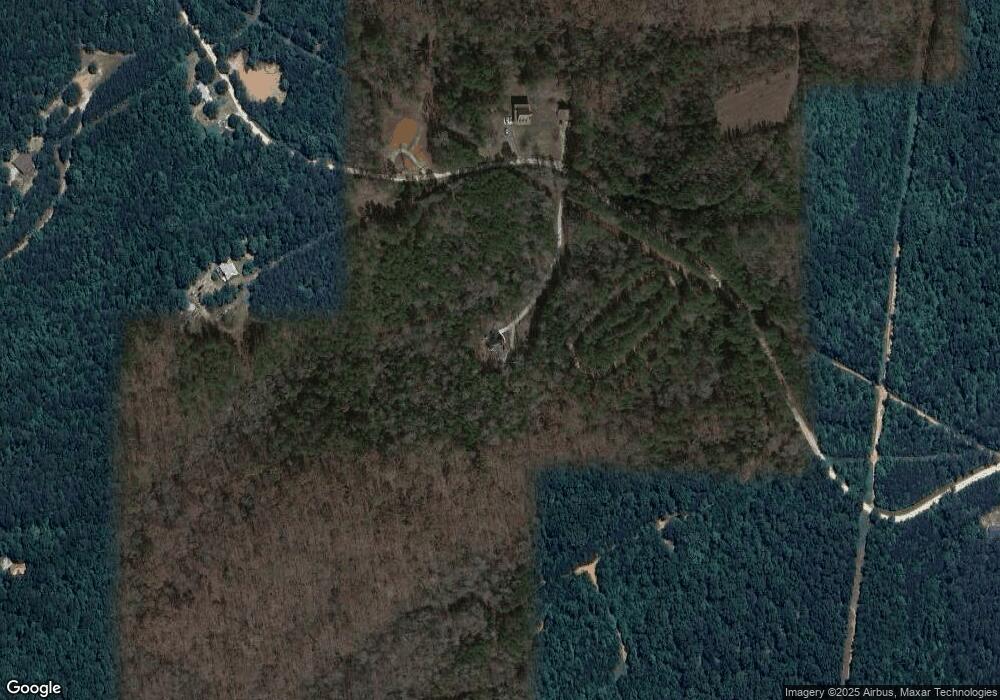
Map
Nearby Homes
- 1475 Ben Davis Rd
- 1470 Ben Davis Rd
- 73 Friendship Church Rd
- 1225 Coppermine Rd
- 0000 Corinth-Five Points Rd
- 0 Hutcheson Road Off
- 262 Corinth-Five Points Rd
- 0 Corinth Five Points Rd Unit 10704513
- 327 Jeffers Rd
- 420 Ed Church Rd
- 33 Tolbert Rd
- 40 Cherokee Cir
- 50 Dogwood Trail
- 6 Cherokee Cir
- 00 Coppermine Rd Trac #1
- 5960 Georgia Highway 120
- 735 Seabreeze Lake Rd
- 731 Seabreeze Lake Rd
- 62 Joe Rowell Rd
- 0 Allgood Church Rd Unit 144628
- 1533 Ben Davis Rd
- 1604 Ben Davis Rd
- 1444 Ben Davis Rd
- 1463 Ben Davis Rd
- 1467 Ben Davis Rd
- 1694 Rockmart Rd
- 1830 Ben Davis Rd
- 1442 Rockmart Rd
- 1474 Rockmart Rd
- 1596 Rockmart Rd
- 1596 Rockmart Rd
- 1336 Rockmart Rd
- 1590 Rockmart Rd
- 1368 Rockmart Rd
- 1626 Rockmart Rd
- 1550 Rockmart Rd
- 1381 Rockmart Rd
- 1553 Rockmart Rd
- 1585 Rockmart Rd
- 1584 Rockmart Rd
Your Personal Tour Guide
Ask me questions while you tour the home.