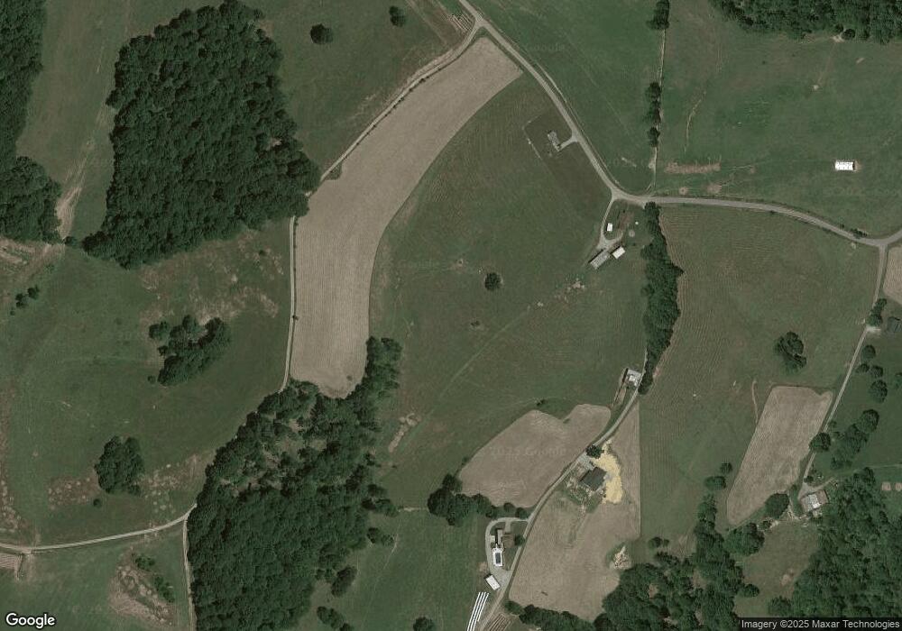
1665 Bird Rd Columbia, KY 42728
Estimated Value: $176,054 - $292,000
3
Beds
1
Bath
1,408
Sq Ft
$149/Sq Ft
Est. Value
About This Home
This home is located at 1665 Bird Rd, Columbia, KY 42728 and is currently estimated at $209,764, approximately $148 per square foot. 1665 Bird Rd is a home located in Adair County with nearby schools including Colonel William Casey Elementary School, Adair County Elementary School, and Adair County Middle School.
Ownership History
Date
Name
Owned For
Owner Type
Purchase Details
Closed on
Jun 8, 2025
Sold by
Campbell Brian and Campbell Julie
Bought by
Petty Barry and Petty Candace
Current Estimated Value
Purchase Details
Closed on
Dec 3, 2021
Sold by
White Barnett Anita and Barnett Prunice Jeffery
Bought by
Campbell Mark
Home Financials for this Owner
Home Financials are based on the most recent Mortgage that was taken out on this home.
Original Mortgage
$63,790
Interest Rate
2.35%
Mortgage Type
Construction
Purchase Details
Closed on
Dec 21, 2015
Sold by
Welsh Nncy D and Welsh Patrick R
Bought by
Campbell Anita
Home Financials for this Owner
Home Financials are based on the most recent Mortgage that was taken out on this home.
Original Mortgage
$74,770
Interest Rate
3.91%
Mortgage Type
Commercial
Create a Home Valuation Report for This Property
The Home Valuation Report is an in-depth analysis detailing your home's value as well as a comparison with similar homes in the area
Home Values in the Area
Average Home Value in this Area
Purchase History
| Date | Buyer | Sale Price | Title Company |
|---|---|---|---|
| Petty Barry | -- | None Listed On Document | |
| Petty Barry | -- | None Listed On Document | |
| Campbell Mark | -- | None Available | |
| Campbell Anita | $90,000 | None Available |
Source: Public Records
Mortgage History
| Date | Status | Borrower | Loan Amount |
|---|---|---|---|
| Previous Owner | Campbell Mark | $63,790 | |
| Previous Owner | Campbell Anita | $74,770 |
Source: Public Records
Tax History Compared to Growth
Tax History
| Year | Tax Paid | Tax Assessment Tax Assessment Total Assessment is a certain percentage of the fair market value that is determined by local assessors to be the total taxable value of land and additions on the property. | Land | Improvement |
|---|---|---|---|---|
| 2024 | $525 | $44,800 | $10,800 | $34,000 |
| 2023 | $533 | $44,800 | $10,800 | $34,000 |
| 2022 | $505 | $44,800 | $10,800 | $34,000 |
| 2021 | $534 | $44,800 | $10,800 | $34,000 |
| 2020 | $524 | $44,800 | $10,800 | $34,000 |
| 2019 | $529 | $44,800 | $10,800 | $34,000 |
| 2018 | $509 | $44,800 | $10,800 | $34,000 |
| 2017 | $507 | $44,800 | $10,800 | $34,000 |
| 2016 | $494 | $44,800 | $10,800 | $34,000 |
| 2015 | $36 | $39,800 | $39,800 | $0 |
| 2013 | $36 | $39,800 | $39,800 | $0 |
Source: Public Records
Map
Nearby Homes
- 100 Felton Fudge Rd
- 345 Blue Ridge Cir
- 1445 Weed Sparksville Rd
- 950 Hughes Rd
- 536 Dirigo Rd
- 0 Jay Wheeler Rd Unit HK25001489
- 2751 Weed Sparksville Rd
- 1572 Greenbriar Rd
- 0 Walnut Grove Rd
- 7.54 Walnut Grove Rd
- 1982 Walnut Grove Rd
- 0 Breeding Loop Rd
- 2948 Chestnut Grove Rd
- 2375 Jones Chapel Rd
- 42 Hidden Acres Ln
- 9625 Breeding Rd
- 633 T Bradshaw Rd
- 4743 Mosby Ridge Rd
- 3700 W Fork Rd
- 2512 Fairplay Rd
