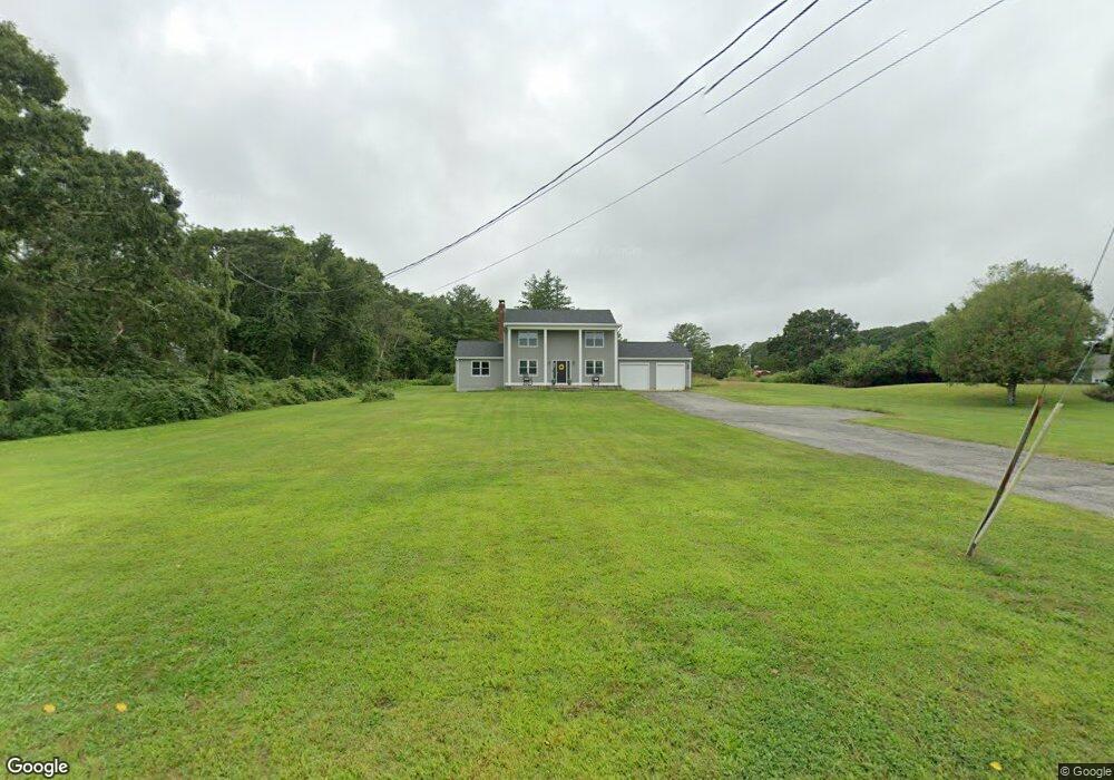
1665 Drift Rd Westport, MA 02790
Westport Point NeighborhoodEstimated Value: $1,092,000 - $1,188,077
3
Beds
--
Bath
2,234
Sq Ft
$512/Sq Ft
Est. Value
About This Home
This home is located at 1665 Drift Rd, Westport, MA 02790 and is currently estimated at $1,143,019, approximately $511 per square foot. 1665 Drift Rd is a home located in Bristol County with nearby schools including Alice A. Macomber Primary School, Westport Elementary School, and Westport Middle-High School.
Ownership History
Date
Name
Owned For
Owner Type
Purchase Details
Closed on
Apr 7, 2023
Sold by
Cabral David P and Cabral Lillian
Bought by
Cabral Ft
Current Estimated Value
Purchase Details
Closed on
Nov 13, 1968
Bought by
Cabral David P and Cabral Lillian
Create a Home Valuation Report for This Property
The Home Valuation Report is an in-depth analysis detailing your home's value as well as a comparison with similar homes in the area
Home Values in the Area
Average Home Value in this Area
Purchase History
| Date | Buyer | Sale Price | Title Company |
|---|---|---|---|
| Cabral Ft | -- | None Available | |
| Cabral Ft | -- | None Available | |
| Cabral David P | -- | -- |
Source: Public Records
Mortgage History
| Date | Status | Borrower | Loan Amount |
|---|---|---|---|
| Previous Owner | Cabral David P | $160,000 |
Source: Public Records
Tax History Compared to Growth
Tax History
| Year | Tax Paid | Tax Assessment Tax Assessment Total Assessment is a certain percentage of the fair market value that is determined by local assessors to be the total taxable value of land and additions on the property. | Land | Improvement |
|---|---|---|---|---|
| 2025 | $6,487 | $870,800 | $576,200 | $294,600 |
| 2024 | $6,444 | $833,600 | $545,800 | $287,800 |
| 2023 | $6,625 | $811,900 | $527,600 | $284,300 |
| 2022 | $6,606 | $779,000 | $527,600 | $251,400 |
| 2021 | $5,427 | $629,600 | $410,500 | $219,100 |
| 2020 | $5,215 | $618,600 | $399,500 | $219,100 |
| 2019 | $5,622 | $679,800 | $472,200 | $207,600 |
| 2018 | $4,334 | $530,500 | $292,500 | $238,000 |
| 2017 | $4,323 | $542,400 | $311,200 | $231,200 |
| 2016 | $4,388 | $554,700 | $332,400 | $222,300 |
| 2015 | $3,962 | $499,600 | $313,700 | $185,900 |
Source: Public Records
Map
Nearby Homes
- 1702J Drift Rd
- 1702 Drift Rd
- 1749 Main Rd
- 1580 Main Rd
- 1881 Main Rd
- 99 Sylvia Ln
- 1346 Main Rd Unit B
- 225 Hixbridge Rd
- 920 Drift Rd
- Lot 2 Horseneck Rd
- 19 Seabury Ln
- 101 Adamsville Rd
- 2 Slades Farm Ln
- 837 Main Rd
- 238-242 E Beach Rd
- 17 Quail Trail
- Lot 2E Horseneck Rd
- 8 Village Way
- 255 John Dyer Rd
- 7 Village Way
- 1681 Drift Rd
- 1659 Drift Rd
- 1670 Drift Rd
- 1676 Drift Rd
- 1660 Drift Rd
- 1651 Drift Rd
- 1687 Drift Rd
- 5 Julius Way
- 1645 Drift Rd
- 1688 Drift Rd
- 1695 Drift Rd
- 1642 Drift Rd
- 1680 Drift Rd Unit L
- 1680 Drift Rd Unit B
- 1680 Drift Rd Unit F
- 1680 Drift Rd
- 1680 Drift Rd Unit J
- 1680 Drift Rd
- 1635 Drift Rd
- 63 Julius Way