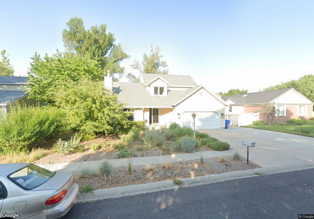
1665 N 1770 E Logan, UT 84341
Hillcrest NeighborhoodEstimated Value: $462,000 - $525,000
3
Beds
3
Baths
2,361
Sq Ft
$211/Sq Ft
Est. Value
About This Home
This home is located at 1665 N 1770 E, Logan, UT 84341 and is currently estimated at $498,160, approximately $210 per square foot. 1665 N 1770 E is a home located in Cache County with nearby schools including Hillcrest Elementary School, Mount Logan Middle School, and Logan High School.
Ownership History
Date
Name
Owned For
Owner Type
Purchase Details
Closed on
Aug 26, 2016
Sold by
Laine Caroline M
Bought by
Laine Caroline M and Duret Alexandre
Current Estimated Value
Home Financials for this Owner
Home Financials are based on the most recent Mortgage that was taken out on this home.
Original Mortgage
$206,150
Outstanding Balance
$164,037
Interest Rate
3.48%
Mortgage Type
New Conventional
Estimated Equity
$334,123
Purchase Details
Closed on
Mar 21, 2006
Sold by
Wells Fargo Financial Utah Inc
Bought by
Behl Diane Dolores
Home Financials for this Owner
Home Financials are based on the most recent Mortgage that was taken out on this home.
Original Mortgage
$145,600
Interest Rate
6.25%
Mortgage Type
New Conventional
Create a Home Valuation Report for This Property
The Home Valuation Report is an in-depth analysis detailing your home's value as well as a comparison with similar homes in the area
Home Values in the Area
Average Home Value in this Area
Purchase History
| Date | Buyer | Sale Price | Title Company |
|---|---|---|---|
| Laine Caroline M | -- | Cache Title | |
| Laine Caroline M | -- | Cache Title | |
| Behl Diane Dolores | -- | First American Title Company |
Source: Public Records
Mortgage History
| Date | Status | Borrower | Loan Amount |
|---|---|---|---|
| Open | Laine Caroline M | $206,150 | |
| Closed | Laine Caroline M | $206,150 | |
| Previous Owner | Behl Diane Dolores | $145,600 |
Source: Public Records
Tax History
| Year | Tax Paid | Tax Assessment Tax Assessment Total Assessment is a certain percentage of the fair market value that is determined by local assessors to be the total taxable value of land and additions on the property. | Land | Improvement |
|---|---|---|---|---|
| 2025 | $2,162 | $279,600 | $0 | $0 |
| 2024 | $2,232 | $279,600 | $0 | $0 |
| 2023 | $2,328 | $277,950 | $0 | $0 |
| 2022 | $2,074 | $231,205 | $0 | $0 |
| 2021 | $1,964 | $338,360 | $65,000 | $273,360 |
| 2020 | $1,889 | $292,800 | $65,000 | $227,800 |
| 2019 | $1,689 | $250,552 | $65,000 | $185,552 |
| 2018 | $1,641 | $222,248 | $65,000 | $157,248 |
| 2017 | $1,463 | $104,720 | $0 | $0 |
| 2016 | $1,516 | $104,720 | $0 | $0 |
| 2015 | $1,518 | $104,720 | $0 | $0 |
| 2014 | $1,259 | $96,050 | $0 | $0 |
| 2013 | -- | $96,050 | $0 | $0 |
Source: Public Records
Map
Nearby Homes
- 1720 N 1850 E
- 1586 N Sharptail Cir
- 1901 Southpointe Ct
- 1902 E 1500 N
- 1949 Deer Crest Cir Unit 49
- 1959 Deer Crest Cir
- 1475 N Aspen Dr Unit 16
- 1451 N Aspen Dr
- 1440 N 1600 E
- 1405 N Aspen Dr
- 1450 N 1525 E
- 1535 E 1385 N
- 1810 N 2070 E Unit 10
- 1454 N 1400 E
- 1782 E 1250 N
- 2025 N 1550 E
- 1336 E Talmage Ln Unit 38
- 1512 E 1260 N
- 1374 N 1250 E Unit 48
- 1354 N 1250 E Unit 46
- 1645 N 1770 E
- 1675 N 1770 E
- 1760 Foothill Dr
- 1750 Foothill Dr
- 1697 N 1770 E
- 1740 Foothill Dr
- 1619 N 1770 E
- 1672 N 1770 E
- 1656 N 1770 E
- 1648 N 1770 E
- 1696 N 1770 E
- 1730 Foothill Dr
- 1630 N 1770 E
- 1701 N 1770 E
- 1720 Foothill Dr
- 1610 N 1770 E
- 1765 Foothill Dr
- 1755 E 1700 N
- 1755 Foothill Dr
- 1745 Foothill Dr
Your Personal Tour Guide
Ask me questions while you tour the home.