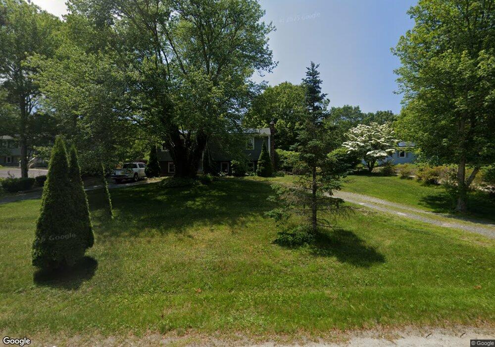
1665 State Rd Plymouth, MA 02360
Estimated Value: $518,000 - $575,000
3
Beds
1
Bath
1,815
Sq Ft
$303/Sq Ft
Est. Value
About This Home
This home is located at 1665 State Rd, Plymouth, MA 02360 and is currently estimated at $549,364, approximately $302 per square foot. 1665 State Rd is a home located in Plymouth County with nearby schools including Indian Brook, Plymouth South Middle School, and Plymouth South High School.
Ownership History
Date
Name
Owned For
Owner Type
Purchase Details
Closed on
Dec 19, 2006
Sold by
Belmont Teresa A and Carroll Robert W
Bought by
Murphy Jason J and Murphy Deanna J
Current Estimated Value
Home Financials for this Owner
Home Financials are based on the most recent Mortgage that was taken out on this home.
Original Mortgage
$228,000
Outstanding Balance
$136,316
Interest Rate
6.31%
Mortgage Type
Purchase Money Mortgage
Estimated Equity
$413,048
Create a Home Valuation Report for This Property
The Home Valuation Report is an in-depth analysis detailing your home's value as well as a comparison with similar homes in the area
Home Values in the Area
Average Home Value in this Area
Purchase History
| Date | Buyer | Sale Price | Title Company |
|---|---|---|---|
| Murphy Jason J | $285,000 | -- |
Source: Public Records
Mortgage History
| Date | Status | Borrower | Loan Amount |
|---|---|---|---|
| Open | Murphy Jason J | $228,000 | |
| Closed | Murphy Jason J | $57,000 |
Source: Public Records
Tax History Compared to Growth
Tax History
| Year | Tax Paid | Tax Assessment Tax Assessment Total Assessment is a certain percentage of the fair market value that is determined by local assessors to be the total taxable value of land and additions on the property. | Land | Improvement |
|---|---|---|---|---|
| 2025 | $5,416 | $426,800 | $202,400 | $224,400 |
| 2024 | $4,960 | $385,400 | $182,400 | $203,000 |
| 2023 | $4,804 | $350,400 | $167,400 | $183,000 |
| 2022 | $4,660 | $302,000 | $157,200 | $144,800 |
| 2021 | $4,522 | $279,800 | $157,200 | $122,600 |
| 2020 | $4,537 | $277,500 | $157,200 | $120,300 |
| 2019 | $4,396 | $265,800 | $147,200 | $118,600 |
| 2018 | $4,099 | $249,000 | $132,200 | $116,800 |
| 2017 | $3,964 | $239,100 | $132,200 | $106,900 |
| 2016 | $3,729 | $229,200 | $122,200 | $107,000 |
| 2015 | $3,484 | $224,200 | $117,200 | $107,000 |
| 2014 | $3,320 | $219,400 | $122,200 | $97,200 |
Source: Public Records
Map
Nearby Homes
- 47 Pleasant Harbour Rd
- 296 Center Hill Rd
- 30 Nautical Way
- 35 Nautical Way
- 322R Center Hill Rd
- 43 Pond View Cir
- 475 Ship Pond Rd
- 451 Ship Pond Rd
- 12 Mayflower Dr
- 1924 State Rd
- 35 Trask Rd
- 5 Trask Rd
- 107 Shore Dr
- 25 Great Woods Rd
- 128 Pine Mountain Dr
- 32 Shore Dr
- 27 Ocean Walk Dr Unit 204
- 2021 State Rd
- 26 Goelette Dr
- 1029 Old Sandwich Rd
- 1661 State Rd
- 1669 State Rd
- 1673 State Rd
- 1664 State Rd
- 1670 State Rd
- 1657 State Rd
- 1674 State Rd
- 1658 State Rd
- 1653 State Rd
- 1679 State Rd
- 1652 State Rd
- 1678 State Rd
- 1683 State Rd
- 1684 State Rd
- 1687 State Rd
- 1677 State Rd
- 1690 State Rd
- 1691 State Rd
- 0 State Rd Unit D 70308381
- 0 State Rd Unit C 70308382