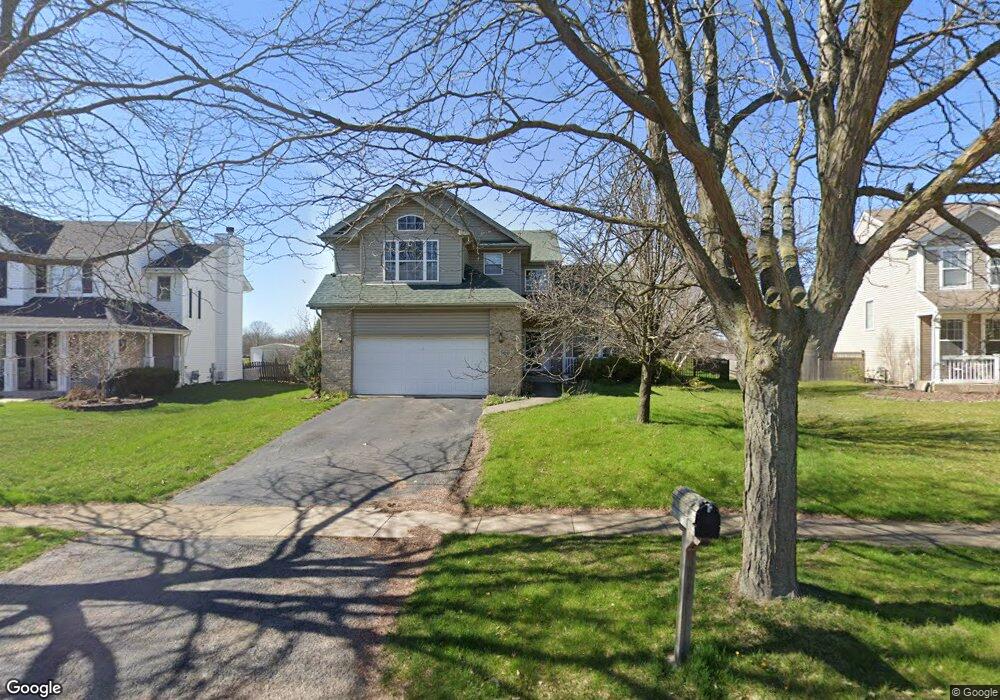
16650 W Apache Dr Lockport, IL 60441
Estimated Value: $441,000 - $466,066
3
Beds
3
Baths
2,760
Sq Ft
$164/Sq Ft
Est. Value
About This Home
This home is located at 16650 W Apache Dr, Lockport, IL 60441 and is currently estimated at $452,267, approximately $163 per square foot. 16650 W Apache Dr is a home located in Will County with nearby schools including William J. Butler, Hadley Middle School, and Homer Jr High School.
Ownership History
Date
Name
Owned For
Owner Type
Purchase Details
Closed on
Nov 30, 2005
Sold by
Mcnamara John J and Mc Namara Mary K
Bought by
Zurawic Buck Laura E
Current Estimated Value
Home Financials for this Owner
Home Financials are based on the most recent Mortgage that was taken out on this home.
Original Mortgage
$214,000
Outstanding Balance
$120,232
Interest Rate
6.36%
Mortgage Type
Fannie Mae Freddie Mac
Estimated Equity
$332,035
Purchase Details
Closed on
Jul 28, 1998
Sold by
Lockport Development Inc
Bought by
Mcnamara John J and Mcnamara Mary Kay
Home Financials for this Owner
Home Financials are based on the most recent Mortgage that was taken out on this home.
Original Mortgage
$182,000
Interest Rate
7.03%
Mortgage Type
Balloon
Create a Home Valuation Report for This Property
The Home Valuation Report is an in-depth analysis detailing your home's value as well as a comparison with similar homes in the area
Home Values in the Area
Average Home Value in this Area
Purchase History
| Date | Buyer | Sale Price | Title Company |
|---|---|---|---|
| Zurawic Buck Laura E | $319,000 | Chicago Title Insurance Comp | |
| Mcnamara John J | $228,500 | -- |
Source: Public Records
Mortgage History
| Date | Status | Borrower | Loan Amount |
|---|---|---|---|
| Open | Zurawic Buck Laura E | $214,000 | |
| Previous Owner | Mcnamara John J | $182,000 |
Source: Public Records
Tax History
| Year | Tax Paid | Tax Assessment Tax Assessment Total Assessment is a certain percentage of the fair market value that is determined by local assessors to be the total taxable value of land and additions on the property. | Land | Improvement |
|---|---|---|---|---|
| 2024 | $12,624 | $152,151 | $25,999 | $126,152 |
| 2023 | $12,624 | $137,918 | $23,567 | $114,351 |
| 2022 | $11,575 | $129,018 | $20,375 | $108,643 |
| 2021 | $11,058 | $122,234 | $19,304 | $102,930 |
| 2020 | $11,018 | $117,737 | $18,594 | $99,143 |
| 2019 | $10,606 | $113,263 | $17,887 | $95,376 |
| 2018 | $10,371 | $109,218 | $17,682 | $91,536 |
| 2017 | $10,213 | $106,161 | $17,187 | $88,974 |
| 2016 | $9,993 | $102,621 | $16,614 | $86,007 |
| 2015 | $9,808 | $98,769 | $15,990 | $82,779 |
| 2014 | $9,808 | $96,728 | $15,660 | $81,068 |
| 2013 | $9,808 | $96,728 | $15,660 | $81,068 |
Source: Public Records
Map
Nearby Homes
- 14847 S Hillside Dr
- 14845 S Hillside Dr
- 14805 S Hillside Dr
- 14801 S Hillside Dr
- 17259 Long Bow Dr
- 16641 W Oneida Dr
- 16510 Teton Dr
- 16704 W Natoma Dr
- 16738 W Natoma Dr
- 17053 Mendota Dr
- 17009 Mendota Dr
- 17213 Mendota Dr
- 15880 W Bruce Rd
- 17113 Manitoba
- 17040 Cheyenne Ct
- 17030 Roosevelt Ave
- 17105 Mead St
- 17120 Carlislie Ln
- 16736 Karen Springs Dr
- 17656 S Gilbert Dr
- 16646 W Apache Dr
- 16654 W Apache Dr
- 16642 W Apache Dr
- 16658 W Apache Dr
- 16651 W Apache Dr
- 16647 W Apache Dr
- 16662 W Apache Dr
- 16657 W Apache Dr
- 16639 W Apache Dr
- 16661 W Apache Dr
- 16634 W Apache Dr
- 16700 W Apache Dr
- 16633 W Apache Dr
- 16550 W Montauk Dr
- 16658 W Montauk Dr
- 16701 W Apache Dr
- 16630 W Apache Dr
- 16542 W Montauk Dr
- 16564 W Montauk Dr
- 16704 W Apache Dr
Your Personal Tour Guide
Ask me questions while you tour the home.