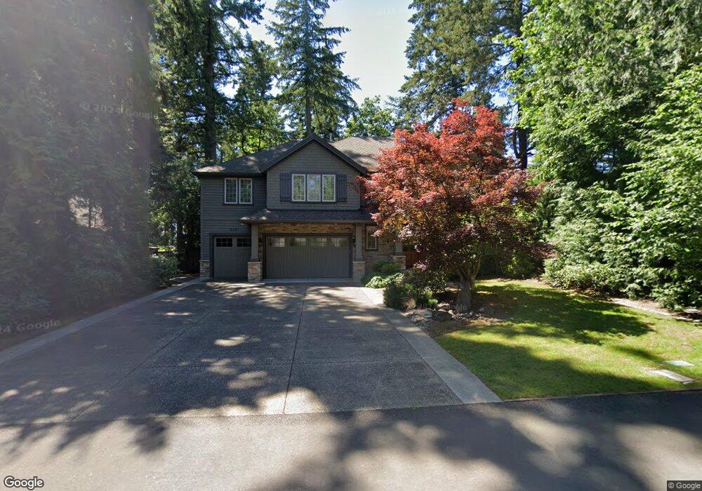
16653 Fir Ln Lake Oswego, OR 97034
Palisades NeighborhoodEstimated Value: $1,878,741 - $2,295,000
4
Beds
4
Baths
3,957
Sq Ft
$546/Sq Ft
Est. Value
About This Home
This home is located at 16653 Fir Ln, Lake Oswego, OR 97034 and is currently estimated at $2,158,685, approximately $545 per square foot. 16653 Fir Ln is a home located in Clackamas County with nearby schools including Westridge Elementary School, Lakeridge Middle School, and Lakeridge High School.
Ownership History
Date
Name
Owned For
Owner Type
Purchase Details
Closed on
Mar 23, 2007
Sold by
Westlake Homes Inc
Bought by
Robards William and Robards Kathleen
Current Estimated Value
Home Financials for this Owner
Home Financials are based on the most recent Mortgage that was taken out on this home.
Original Mortgage
$700,000
Outstanding Balance
$420,201
Interest Rate
6.2%
Mortgage Type
Purchase Money Mortgage
Estimated Equity
$1,738,484
Purchase Details
Closed on
Mar 19, 2007
Sold by
Robards William O and Robards Kathleen M
Bought by
Robards William O and Robards Kathleen M
Home Financials for this Owner
Home Financials are based on the most recent Mortgage that was taken out on this home.
Original Mortgage
$700,000
Outstanding Balance
$420,201
Interest Rate
6.2%
Mortgage Type
Purchase Money Mortgage
Estimated Equity
$1,738,484
Purchase Details
Closed on
Apr 25, 2005
Sold by
Wilkins Mary Ethel
Bought by
Westlake Homes Inc
Home Financials for this Owner
Home Financials are based on the most recent Mortgage that was taken out on this home.
Original Mortgage
$300,000
Interest Rate
5.92%
Mortgage Type
Purchase Money Mortgage
Create a Home Valuation Report for This Property
The Home Valuation Report is an in-depth analysis detailing your home's value as well as a comparison with similar homes in the area
Home Values in the Area
Average Home Value in this Area
Purchase History
| Date | Buyer | Sale Price | Title Company |
|---|---|---|---|
| Robards William | $1,384,000 | First American Title Insuran | |
| Robards William O | -- | First American Title Insuran | |
| Westlake Homes Inc | $400,000 | Chicago Title Insurance Comp |
Source: Public Records
Mortgage History
| Date | Status | Borrower | Loan Amount |
|---|---|---|---|
| Open | Robards William | $700,000 | |
| Previous Owner | Westlake Homes Inc | $300,000 |
Source: Public Records
Tax History Compared to Growth
Tax History
| Year | Tax Paid | Tax Assessment Tax Assessment Total Assessment is a certain percentage of the fair market value that is determined by local assessors to be the total taxable value of land and additions on the property. | Land | Improvement |
|---|---|---|---|---|
| 2025 | $22,168 | $1,154,323 | -- | -- |
| 2024 | $21,577 | $1,120,702 | -- | -- |
| 2023 | $21,577 | $1,088,061 | $0 | $0 |
| 2022 | $20,321 | $1,056,370 | $0 | $0 |
| 2021 | $18,769 | $1,025,602 | $0 | $0 |
| 2020 | $18,298 | $995,731 | $0 | $0 |
| 2019 | $17,835 | $966,730 | $0 | $0 |
| 2018 | $16,972 | $938,573 | $0 | $0 |
| 2017 | $16,377 | $911,236 | $0 | $0 |
| 2016 | $14,910 | $884,695 | $0 | $0 |
| 2015 | $14,405 | $858,927 | $0 | $0 |
| 2014 | $14,082 | $833,910 | $0 | $0 |
Source: Public Records
Map
Nearby Homes
- 0 S Shore Blvd
- 2255 Glen Haven Rd
- 1931 Park Forest Ct
- 16878 Canyon Dr
- 1951 Greentree Rd
- 1847 Woodland Terrace
- 1700 Woodland Terrace
- 2627 Park Rd
- 2240 Summit Ct
- 1990 Indian Trail
- 1410 Woodland Terrace
- 17360 Alpine Way
- 17035 Westview Dr
- 15948 Twin Fir Rd
- 15947 Twin Fir Rd
- 1467 Greentree Cir
- 1300 Tyndall Ct
- 1224 Tyndall Ct
- 2306 Mayors Ln
- 17210 Cedar Rd
- 2315 Southshore Blvd
- 16645 Fir Ln
- 16671 Fir Ln
- 2271 Southshore Blvd
- 16586 Phantom Bluff Ct
- 16586 SW Phantom Bluff Ct
- 16672 Fir Ln
- 16640 Fir Ln
- 16470 Phantom Bluff Ct
- 16700 Phantom Bluff Ct
- 2240 SW South Shore Blvd
- 2260 S Shore Blvd
- 2280 Southshore Blvd
- 2260 Southshore Blvd
- 16351 Phantom Bluff Ct
- 2300 Southshore Blvd
- 2250 Southshore Blvd
- 16750 Phantom Bluff Ct
- 2041 Cedar Ct
- 2240 Southshore Blvd