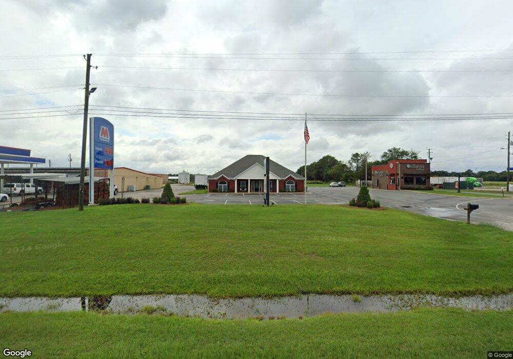
16662 Us Highway 431 S Headland, AL 36345
Estimated Value: $418,897
--
Bed
2
Baths
2,816
Sq Ft
$149/Sq Ft
Est. Value
About This Home
This home is located at 16662 Us Highway 431 S, Headland, AL 36345 and is currently estimated at $418,897, approximately $148 per square foot. 16662 Us Highway 431 S is a home located in Henry County with nearby schools including Headland Elementary School, Headland Middle School, and Headland High School.
Ownership History
Date
Name
Owned For
Owner Type
Purchase Details
Closed on
Jun 25, 2019
Sold by
Marion B Smith Revocable Living Trust
Bought by
John Smith Enterprises Llc
Current Estimated Value
Purchase Details
Closed on
Feb 18, 2011
Sold by
Five Star Credit Union
Bought by
King Dana L
Home Financials for this Owner
Home Financials are based on the most recent Mortgage that was taken out on this home.
Original Mortgage
$319,136
Interest Rate
4.71%
Mortgage Type
Future Advance Clause Open End Mortgage
Create a Home Valuation Report for This Property
The Home Valuation Report is an in-depth analysis detailing your home's value as well as a comparison with similar homes in the area
Home Values in the Area
Average Home Value in this Area
Purchase History
| Date | Buyer | Sale Price | Title Company |
|---|---|---|---|
| John Smith Enterprises Llc | $270,000 | None Available | |
| King Dana L | $250,000 | -- |
Source: Public Records
Mortgage History
| Date | Status | Borrower | Loan Amount |
|---|---|---|---|
| Previous Owner | King Dana L | $319,136 |
Source: Public Records
Tax History Compared to Growth
Tax History
| Year | Tax Paid | Tax Assessment Tax Assessment Total Assessment is a certain percentage of the fair market value that is determined by local assessors to be the total taxable value of land and additions on the property. | Land | Improvement |
|---|---|---|---|---|
| 2024 | $2,372 | $53,908 | $6,500 | $47,408 |
| 2023 | $2,372 | $53,908 | $6,500 | $47,408 |
| 2022 | $2,635 | $60,272 | $13,000 | $47,272 |
| 2021 | $2,209 | $50,200 | $13,000 | $37,200 |
| 2020 | $2,209 | $50,200 | $13,000 | $37,200 |
| 2019 | $2,209 | $50,200 | $13,000 | $37,200 |
| 2018 | $2,209 | $50,200 | $13,000 | $37,200 |
| 2017 | $2,211 | $65,491 | $13,000 | $52,491 |
| 2016 | $2,211 | $50,242 | $13,000 | $37,242 |
| 2015 | $2,211 | $251,211 | $0 | $0 |
| 2014 | $2,211 | $251,211 | $0 | $0 |
Source: Public Records
Map
Nearby Homes
- 0 Us Hwy 431
- 200 Benfield
- 300 Rock Creek Rd
- Lot 5 Block "B" County Road 20
- Lot 6 Block "B" County Road 20
- Lot 2 Block "B" County Road 20
- Lot 3 Block "B" County Road 20
- 110 Creekridge St
- 111 Creekridge St
- 108 Creekridge St
- 109 Creekridge St
- 107 Creekridge St
- 106 Creekridge St
- 116 Heritage Way
- 201 Heritage Way
- 209 Heritage Way
- 126 Heritage Way
- 105 Creekridge St
- 103 Creekridge St
- 101 Creekridge St
- 16662 U S 431
- 16566 Us Highway 431 S
- 0 U S 431
- 3+-ac Hwy 431 Cty Rd 18 Cty Rd 122
- 16468 U S 431
- 16468 Us Hwy 431 S
- 134 Alabama 134
- 613 E Church St
- TBD Weeping Willow Trail
- 00 County Rd 55 Parcel 2
- 615 E Church St
- 612 E Church St
- 824 E Main St
- 866 E Main St
- 531 E Church St
- 602 E Church St
- 529 E Church St
- 1 Us Hwy 431
- 110 Valleyview Terrace
- 108 Valleyview Terrace