1667 Brittain St Berwick, PA 18603
Estimated Value: $250,305
Studio
--
Bath
1,494
Sq Ft
$168/Sq Ft
Est. Value
About This Home
This home is located at 1667 Brittain St, Berwick, PA 18603 and is currently estimated at $250,305, approximately $167 per square foot. 1667 Brittain St is a home located in Columbia County with nearby schools including Berwick Area High School, Holy Family Consolidated School, and New Story School.
Ownership History
Date
Name
Owned For
Owner Type
Purchase Details
Closed on
Nov 26, 2019
Sold by
Rishkofski Sally A and Johnson Harold H
Bought by
Mcclaine Michael E
Current Estimated Value
Home Financials for this Owner
Home Financials are based on the most recent Mortgage that was taken out on this home.
Original Mortgage
$164,000
Outstanding Balance
$144,872
Interest Rate
3.7%
Mortgage Type
VA
Estimated Equity
$104,327
Purchase Details
Closed on
Apr 27, 1988
Bought by
Rishkofski Sally A
Create a Home Valuation Report for This Property
The Home Valuation Report is an in-depth analysis detailing your home's value as well as a comparison with similar homes in the area
Home Values in the Area
Average Home Value in this Area
Purchase History
| Date | Buyer | Sale Price | Title Company |
|---|---|---|---|
| Mcclaine Michael E | $164,000 | None Available | |
| Rishkofski Sally A | $44,000 | -- |
Source: Public Records
Mortgage History
| Date | Status | Borrower | Loan Amount |
|---|---|---|---|
| Open | Mcclaine Michael E | $164,000 |
Source: Public Records
Tax History
| Year | Tax Paid | Tax Assessment Tax Assessment Total Assessment is a certain percentage of the fair market value that is determined by local assessors to be the total taxable value of land and additions on the property. | Land | Improvement |
|---|---|---|---|---|
| 2025 | $2,171 | $24,219 | $0 | $0 |
| 2024 | $2,147 | $24,219 | $2,720 | $21,499 |
| 2023 | $2,002 | $24,219 | $2,720 | $21,499 |
| 2022 | $1,936 | $24,219 | $2,720 | $21,499 |
| 2021 | $1,893 | $24,219 | $2,720 | $21,499 |
| 2020 | $1,850 | $24,219 | $2,720 | $21,499 |
| 2019 | $1,787 | $23,771 | $2,720 | $21,051 |
| 2018 | $1,717 | $23,771 | $2,720 | $21,051 |
| 2017 | $1,723 | $23,771 | $2,720 | $21,051 |
| 2016 | -- | $23,771 | $2,720 | $21,051 |
| 2015 | -- | $23,771 | $2,720 | $21,051 |
| 2014 | -- | $23,771 | $2,720 | $21,051 |
Source: Public Records
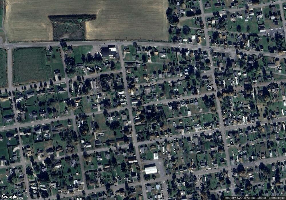
Map
Nearby Homes
- 1638 Brittain St
- 1609,1611 Orange St
- 1522 1st Ave
- 1510 Spring Garden Ave
- 1500 2nd Ave
- 405 N Mercer St
- 120 Briarcliff Rd
- 825 N Mercer St
- LOT #13 3rd Ave
- 1224 Orange St
- 1239,1241 W Front St
- 1185 Ferris Ave
- 4 E Rittenhouse Mill Rd
- 1318 7th Ave
- 1135 2nd Ave
- 108 110 Blair St
- 1200 5th Ave
- 1129 Freas Ave
- 1227 Rear 7th Ave
- 601 Welliver Rd
- 1669 Brittain St
- 1663 Brittain St
- 1666 Steel St
- 1662 Steel St
- 1668 Brittain St
- 1651 Brittain St
- 1654 Steel St
- 1662 Brittain St
- 1669 Steel St
- 1661 Steel St
- 1700 Brittain St
- 1654 Brittain St
- 1673 Steel St
- 1649 Brittain St
- 1652 Steel St
- 1710 Brittain St
- 415 Scanlon St
- 1640 Brittain St
- 1653 Steel St
- 16471649 Steel St